Earth
ID: 3465
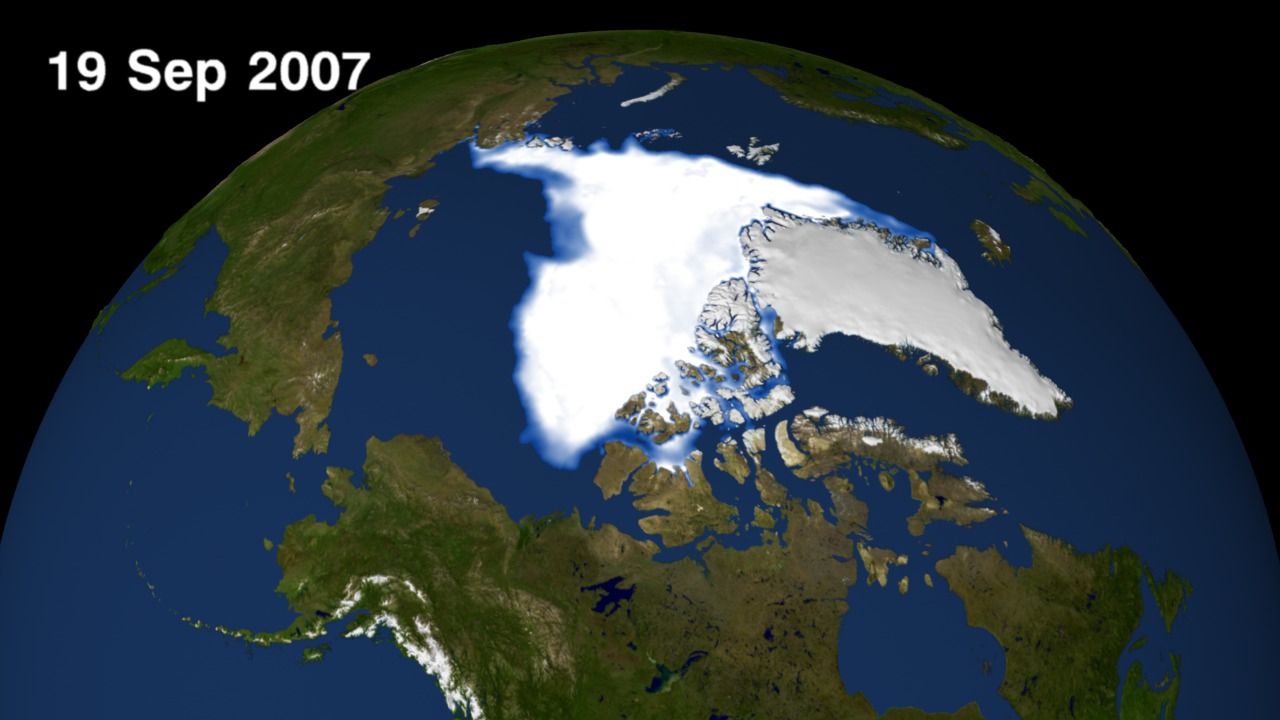
In 2007, Arctic summer sea ice reached its lowest extent on record - nearly 25% less than the previous low set in 2005. At the end of each summer, the sea ice cover reaches its minimum extent and what is left is what is called the perennial ice cover which consists mainly of thick multi-year ice floes. The area of the perennial ice has been steadily decreasing since the satellite record began in 1979, at a rate of about 10% per decade. But the 2007 minimum, reached on September 14, is far below the previous record made in 2005 and is about 38% lower than the climatological average. Such a dramatic loss has implications for ecology, climate and industry as new shipping lanes open.
This visualization shows 2007 daily Arctic sea ice from from 1 August through 19 September.
Daily Arctic Sea Ice from August/September 2007
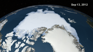
There is a newer version of this story located here: https://svs.gsfc.nasa.gov/4052
This visualization shows 2007 daily Arctic sea ice from from 1 August through 19 September.
Newer Version
Visualization Credits
Greg Shirah (NASA/GSFC): Lead Animator
Cindy Starr (Global Science and Technology, Inc.): Visualizer
Josefino Comiso (NASA/GSFC): Scientist
Cindy Starr (Global Science and Technology, Inc.): Visualizer
Josefino Comiso (NASA/GSFC): Scientist
Please give credit for this item to:
NASA/Goddard Space Flight Center Scientific Visualization Studio Thanks to Rob Gerston (GSFC) for providing the data.
NASA/Goddard Space Flight Center Scientific Visualization Studio Thanks to Rob Gerston (GSFC) for providing the data.
Short URL to share this page:
https://svs.gsfc.nasa.gov/3465
Data Used:
Note: While we identify the data sets used in these visualizations, we do not store any further details nor the data sets themselves on our site.
Keywords:
DLESE >> Cryology
SVS >> HDTV
GCMD >> Earth Science >> Cryosphere >> Sea Ice
GCMD >> Earth Science >> Cryosphere >> Sea Ice >> Sea Ice Concentration
SVS >> iPod
NASA Science >> Earth
GCMD keywords can be found on the Internet with the following citation: Olsen, L.M., G. Major, K. Shein, J. Scialdone, S. Ritz, T. Stevens, M. Morahan, A. Aleman, R. Vogel, S. Leicester, H. Weir, M. Meaux, S. Grebas, C.Solomon, M. Holland, T. Northcutt, R. A. Restrepo, R. Bilodeau, 2013. NASA/Global Change Master Directory (GCMD) Earth Science Keywords. Version 8.0.0.0.0
https://svs.gsfc.nasa.gov/3465
Data Used:
DMSP/SSM/I
08/01/2007 through 09/19/2007
Defense Meteorological Satellite Program Special Sensor Microwave Imager
Comiso's Daily Sea Ice Concentration
Data Compilation - NASA/GSFC - 08/01/2007 through 09/19/2007Keywords:
DLESE >> Cryology
SVS >> HDTV
GCMD >> Earth Science >> Cryosphere >> Sea Ice
GCMD >> Earth Science >> Cryosphere >> Sea Ice >> Sea Ice Concentration
SVS >> iPod
NASA Science >> Earth
GCMD keywords can be found on the Internet with the following citation: Olsen, L.M., G. Major, K. Shein, J. Scialdone, S. Ritz, T. Stevens, M. Morahan, A. Aleman, R. Vogel, S. Leicester, H. Weir, M. Meaux, S. Grebas, C.Solomon, M. Holland, T. Northcutt, R. A. Restrepo, R. Bilodeau, 2013. NASA/Global Change Master Directory (GCMD) Earth Science Keywords. Version 8.0.0.0.0


