Earth
ID: 2567
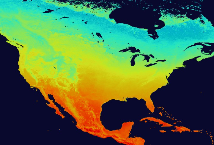
The average temperature of the land is one component of a model used to predict the areas where mosquitos will flourish and where they will not. Satellite remote sensing can help construct maps of the average land surface temperature.
These images were created in support of a story describing how NASA is assisting the CDC and EPA in tracking the spread of West Nile Virus.
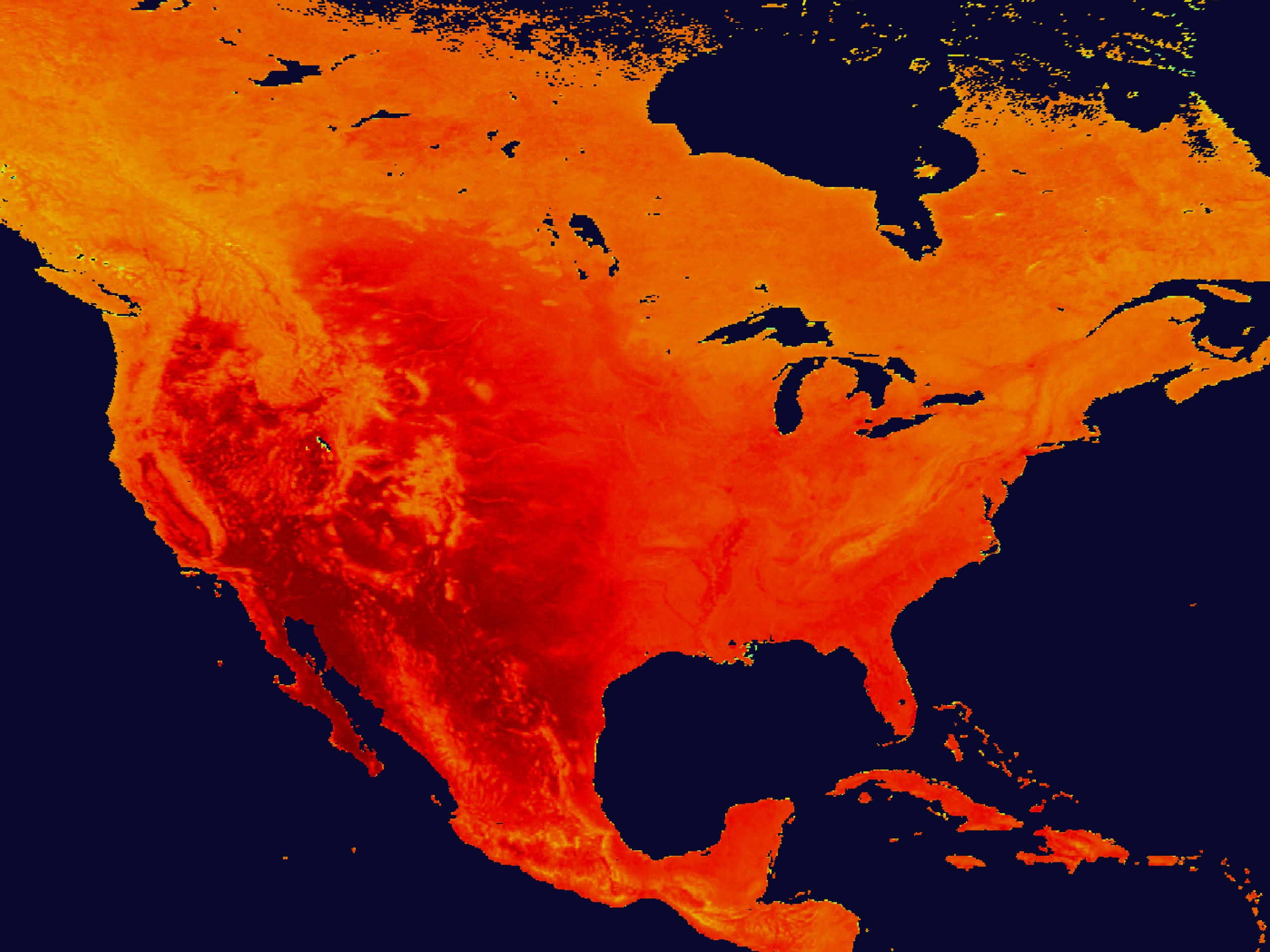
Land Surface Temperature
These images were created in support of a story describing how NASA is assisting the CDC and EPA in tracking the spread of West Nile Virus.
Visualization Credits
Please give credit for this item to:
NASA/Goddard Space Flight Center Scientific Visualization Studio
NASA/Goddard Space Flight Center Scientific Visualization Studio
Short URL to share this page:
https://svs.gsfc.nasa.gov/2567
This item is part of this series:
West Nile Virus
Goddard TV Tape:
G2002-077
Keywords:
SVS >> Risk Map
SVS >> Surface Temperature
SVS >> West Nile Virus
NASA Science >> Earth
https://svs.gsfc.nasa.gov/2567
This item is part of this series:
West Nile Virus
Goddard TV Tape:
G2002-077
Keywords:
SVS >> Risk Map
SVS >> Surface Temperature
SVS >> West Nile Virus
NASA Science >> Earth


