Earth
ID: 2487
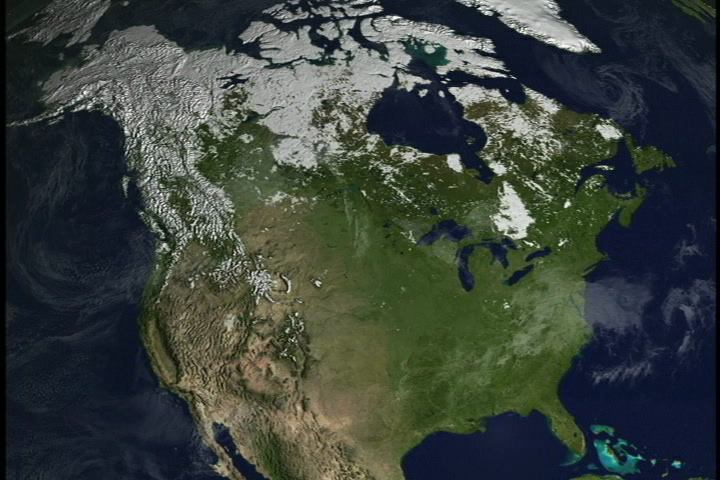
The Moderate Resolution Imaging Spectroradiometer (MODIS) provides data in 36 spectral bands, some of which are used in an algorithm to map global snow cover. In this animation, a time series of global snow cover from MODIS-derived 8-day composite snow maps with a spatial resolution of about 5 km shows the dynamic behavior of the advance and retreat of continental snow cover over North America during the winter of 2001-02.
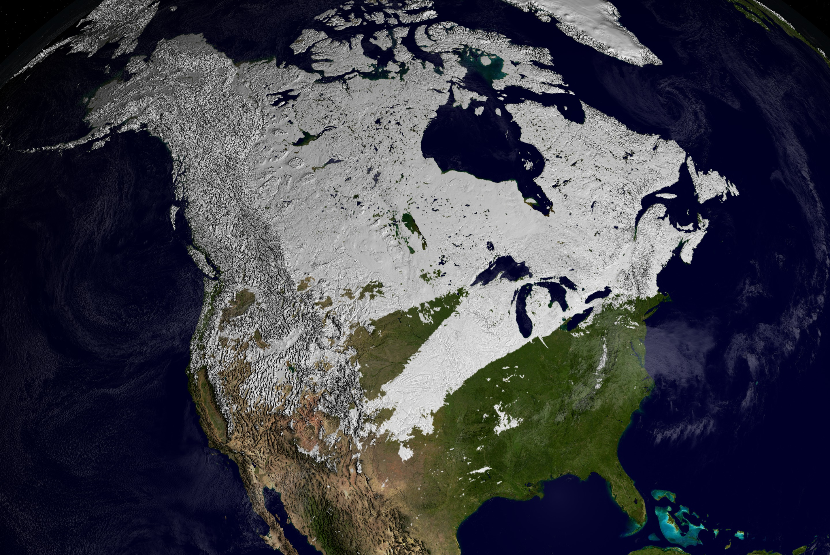
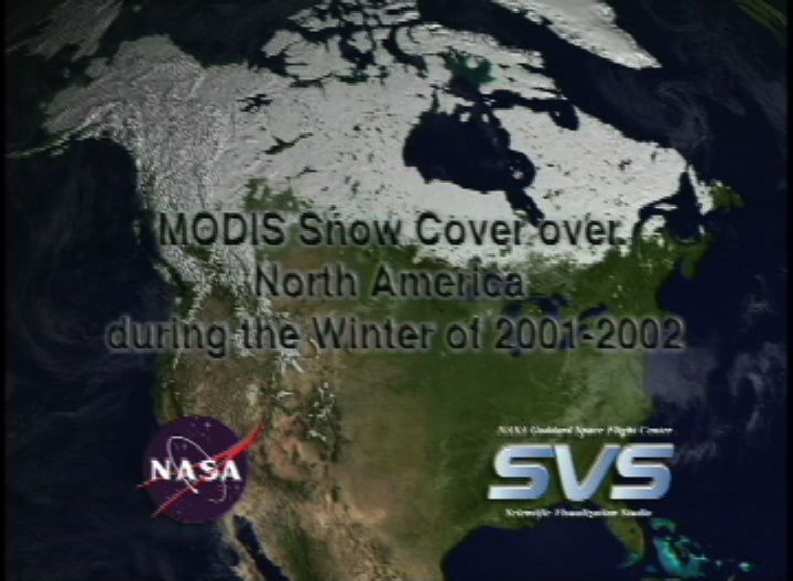
MODIS Snow Cover over North America
Visualization Credits
Cindy Starr (Global Science and Technology, Inc.): Lead Visualizer
Dorothy Hall (NASA/GSFC): Scientist
Dorothy Hall (NASA/GSFC): Scientist
Please give credit for this item to:
NASA/Goddard Space Flight Center
Scientific Visualization Studio. Snow Data Preparation was done by The MODIS Snow & Ice Team, Janet Y. L. Chien. Blue Marble data courtesy of Reto Stockli.
Technical Assistance from the following SVS team members: Randall Jones, Kevin Mahoney, Marte Newcombe, Tom Bridgman, Lori Perkins, Gregory Shirah, Eric Sokolowsky, James Williams.
Short URL to share this page:
https://svs.gsfc.nasa.gov/2487
Mission:
Terra
Data Used:
Note: While we identify the data sets used in these visualizations, we do not store any further details nor the data sets themselves on our site.
Keywords:
DLESE >> Cryology
SVS >> Snow Cover
GCMD >> Earth Science >> Atmosphere >> Precipitation >> Snow
GCMD >> Location >> North America
NASA Science >> Earth
GCMD keywords can be found on the Internet with the following citation: Olsen, L.M., G. Major, K. Shein, J. Scialdone, S. Ritz, T. Stevens, M. Morahan, A. Aleman, R. Vogel, S. Leicester, H. Weir, M. Meaux, S. Grebas, C.Solomon, M. Holland, T. Northcutt, R. A. Restrepo, R. Bilodeau, 2013. NASA/Global Change Master Directory (GCMD) Earth Science Keywords. Version 8.0.0.0.0
https://svs.gsfc.nasa.gov/2487
Mission:
Terra
Data Used:
Terra/MODIS/Snow Cover 8-day composite L3 Global 0.05Deg CMG (MOD10C2)
10/16/2001 to 04/23/2002Terra and Aqua/MODIS/Blue Marble Land Cover
Credit:
The Blue Marble data is courtesy of Reto Stockli (NASA/GSFC).
The Blue Marble data is courtesy of Reto Stockli (NASA/GSFC).
Terra and Aqua/MODIS/Blue Marble Cloud Cover
Credit:
The Blue Marble data is courtesy of Reto Stockli (NASA/GSFC).
The Blue Marble data is courtesy of Reto Stockli (NASA/GSFC).
Keywords:
DLESE >> Cryology
SVS >> Snow Cover
GCMD >> Earth Science >> Atmosphere >> Precipitation >> Snow
GCMD >> Location >> North America
NASA Science >> Earth
GCMD keywords can be found on the Internet with the following citation: Olsen, L.M., G. Major, K. Shein, J. Scialdone, S. Ritz, T. Stevens, M. Morahan, A. Aleman, R. Vogel, S. Leicester, H. Weir, M. Meaux, S. Grebas, C.Solomon, M. Holland, T. Northcutt, R. A. Restrepo, R. Bilodeau, 2013. NASA/Global Change Master Directory (GCMD) Earth Science Keywords. Version 8.0.0.0.0


