Earth
ID: 2431
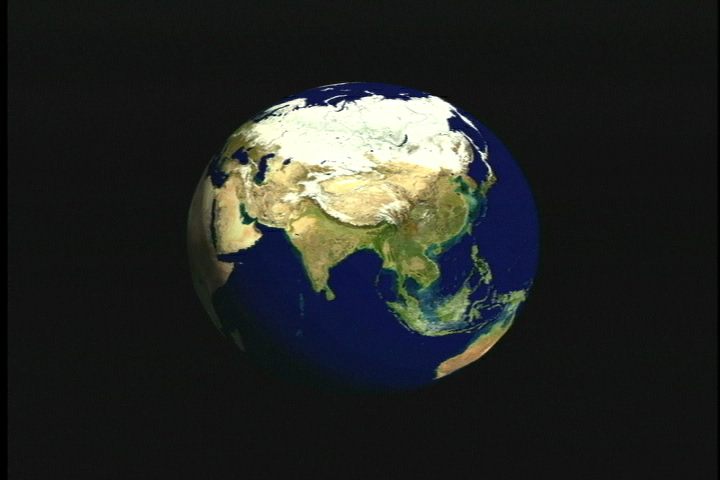
Satellite photographs (from Terra-MODIS) and computer-generated models help visualize Bangladesh's place in the world. Located in South Asia, it is virtually surrounded by India and the Bay of Bengal to the south. But in many ways, the country's fate is dominated by the world's highest mountain range looming to the north-the Himalayas.
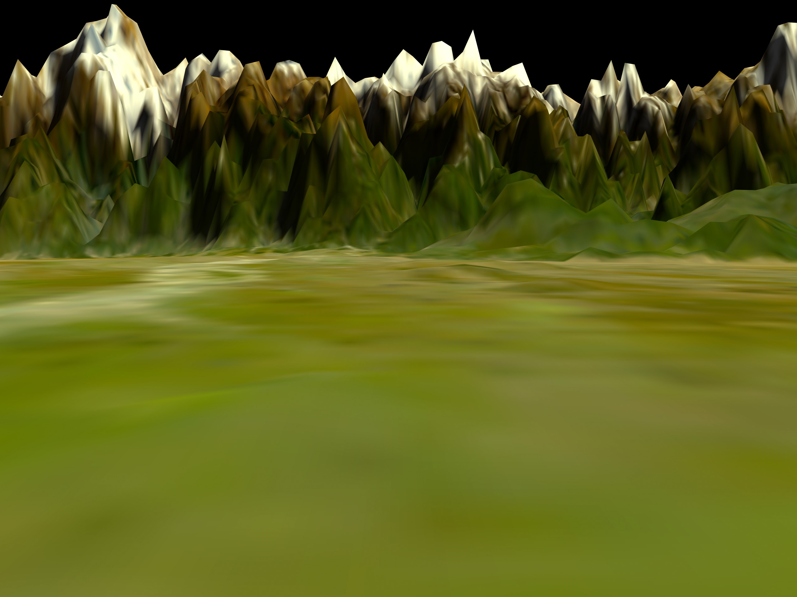
Himalayas Exaggerated (version 2.2)
Visualization Credits
Alex Kekesi (Global Science and Technology, Inc.): Lead Animator
Vincent Salomonson (NASA/GSFC): Scientist
Hal Weiner: Writer
Vincent Salomonson (NASA/GSFC): Scientist
Hal Weiner: Writer
Please give credit for this item to:
NASA/Goddard Space Flight Center Scientific Visualization Studio
NASA/Goddard Space Flight Center Scientific Visualization Studio
Short URL to share this page:
https://svs.gsfc.nasa.gov/2431
Missions:
Global Precipitation Measurement (GPM)
Terra
Data Used:
Note: While we identify the data sets used in these visualizations, we do not store any further details nor the data sets themselves on our site.
This item is part of this series:
Journey to Planet Earth
Keywords:
GCMD >> Location >> Bangladesh
NASA Science >> Earth
GCMD keywords can be found on the Internet with the following citation: Olsen, L.M., G. Major, K. Shein, J. Scialdone, S. Ritz, T. Stevens, M. Morahan, A. Aleman, R. Vogel, S. Leicester, H. Weir, M. Meaux, S. Grebas, C.Solomon, M. Holland, T. Northcutt, R. A. Restrepo, R. Bilodeau, 2013. NASA/Global Change Master Directory (GCMD) Earth Science Keywords. Version 8.0.0.0.0
https://svs.gsfc.nasa.gov/2431
Missions:
Global Precipitation Measurement (GPM)
Terra
Data Used:
GTOPO30 Topography and Bathymetry
Data Compilation - USGS - 1993 - 1997Terra/MODIS/Blue Marble
4/24/2001-7/28/2001
Credit:
The Blue Marble data is courtesy of Reto Stockli (NASA/GSFC).
The Blue Marble data is courtesy of Reto Stockli (NASA/GSFC).
This item is part of this series:
Journey to Planet Earth
Keywords:
GCMD >> Location >> Bangladesh
NASA Science >> Earth
GCMD keywords can be found on the Internet with the following citation: Olsen, L.M., G. Major, K. Shein, J. Scialdone, S. Ritz, T. Stevens, M. Morahan, A. Aleman, R. Vogel, S. Leicester, H. Weir, M. Meaux, S. Grebas, C.Solomon, M. Holland, T. Northcutt, R. A. Restrepo, R. Bilodeau, 2013. NASA/Global Change Master Directory (GCMD) Earth Science Keywords. Version 8.0.0.0.0


