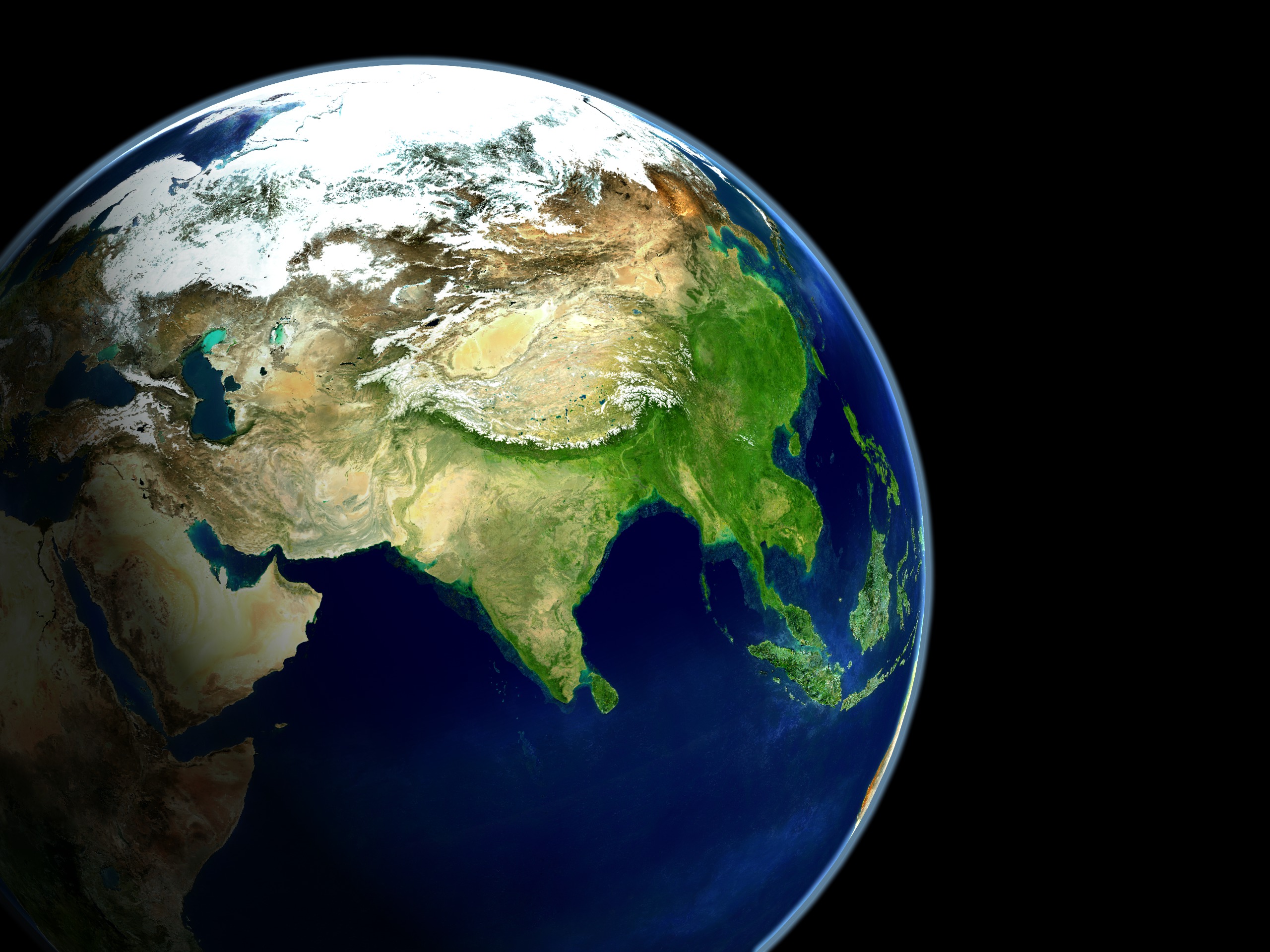
Earth
ID: 2323
The population of Dhaka, Bangladesh grew in size considerably between 1972 and 2001. This 'urban growth' can be easily seen through various Landsat satellite images over time.
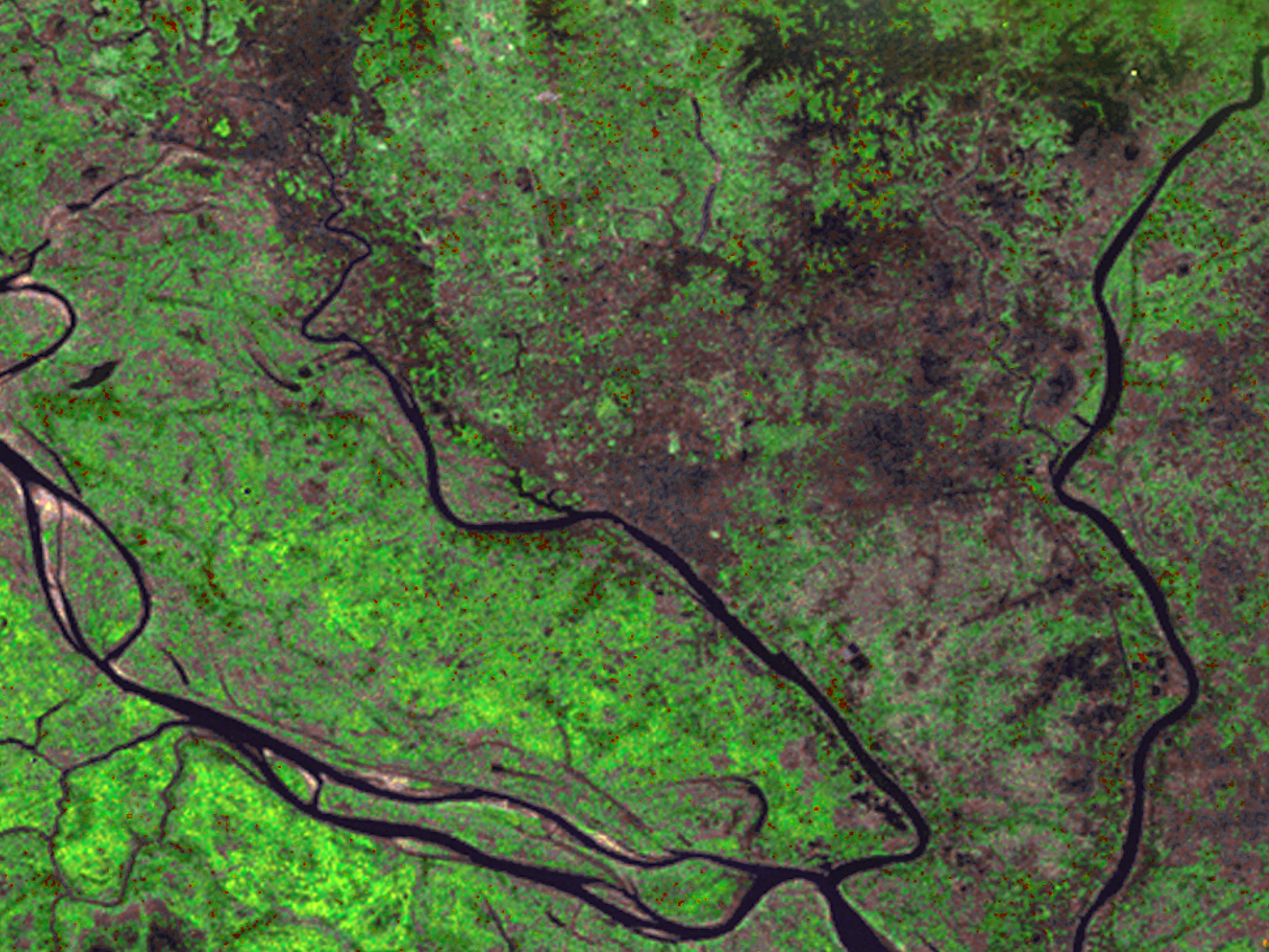
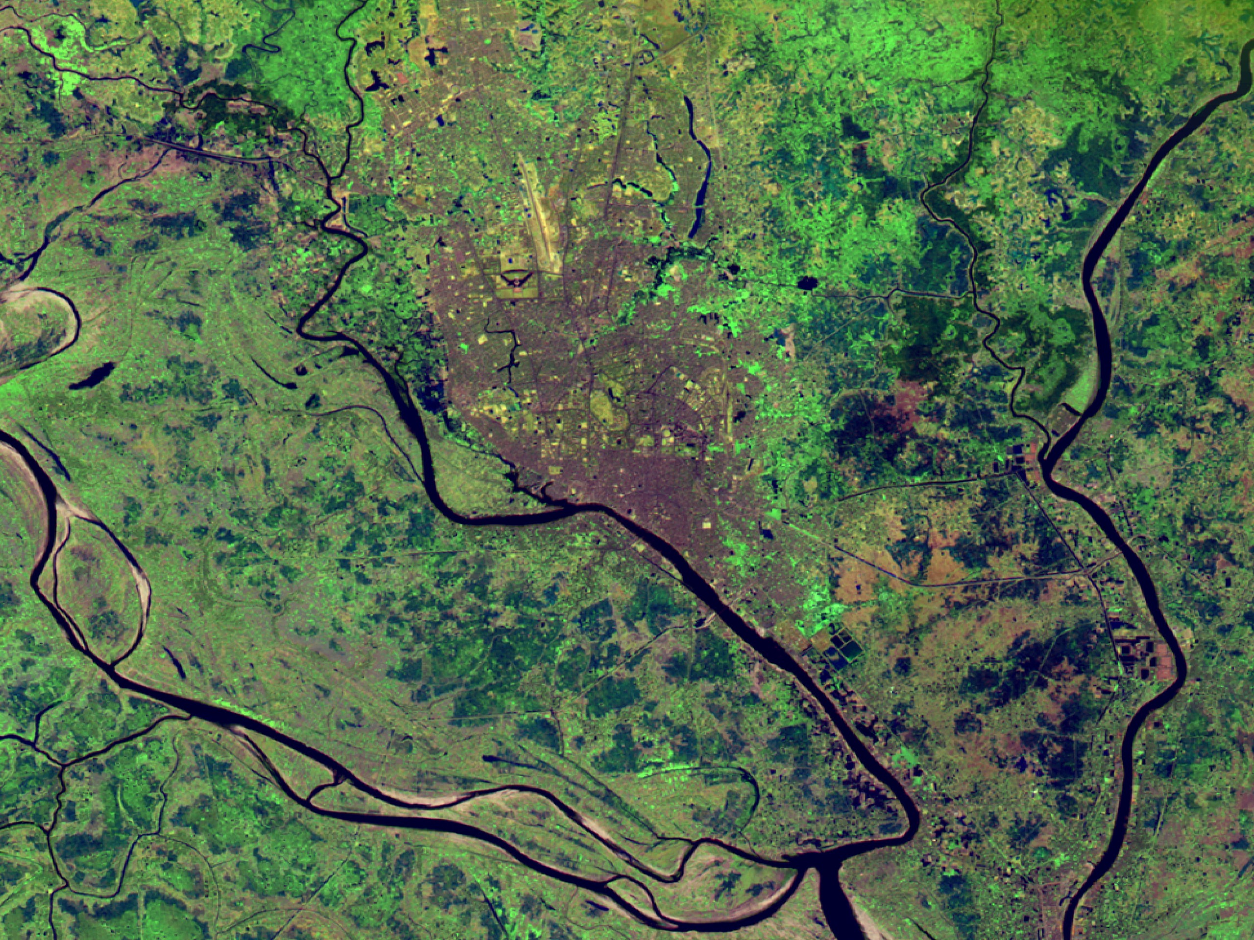
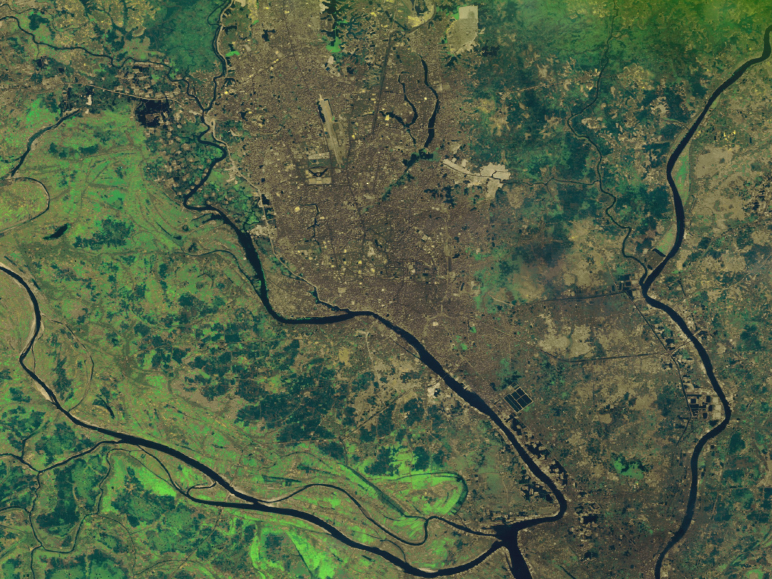
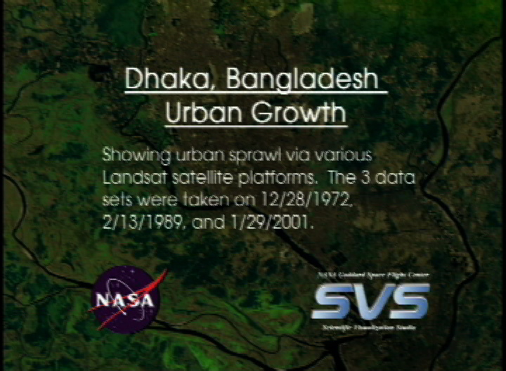
Dhaka, Bangladesh Urban Growth
Visualization Credits
Alex Kekesi (Global Science and Technology, Inc.): Lead Animator
Stuart A. Snodgrass (GST): Animator
Darrel Williams (NASA/GSFC): Scientist
Stuart A. Snodgrass (GST): Animator
Darrel Williams (NASA/GSFC): Scientist
Please give credit for this item to:
NASA/Goddard Space Flight Center Scientific Visualization Studio
NASA/Goddard Space Flight Center Scientific Visualization Studio
Short URL to share this page:
https://svs.gsfc.nasa.gov/2323
Missions:
Landsat
Terra
Data Used:
Note: While we identify the data sets used in these visualizations, we do not store any further details nor the data sets themselves on our site.
This item is part of this series:
Journey to Planet Earth
Keywords:
SVS >> Urban Growth
NASA Science >> Earth
https://svs.gsfc.nasa.gov/2323
Missions:
Landsat
Terra
Data Used:
Landsat-1/MSS
1972/12/28Landsat-5/TM
1989/2/13Landsat-7/ETM+
2001/1/29Terra/MODIS
This item is part of this series:
Journey to Planet Earth
Keywords:
SVS >> Urban Growth
NASA Science >> Earth


