Earth
ID: 2273
SeaWiFS is one of many satellites that NASA has that helps us here on the ground. Help keeping track of Hurricane Erin, SeaWiFS captures this breath taking image.
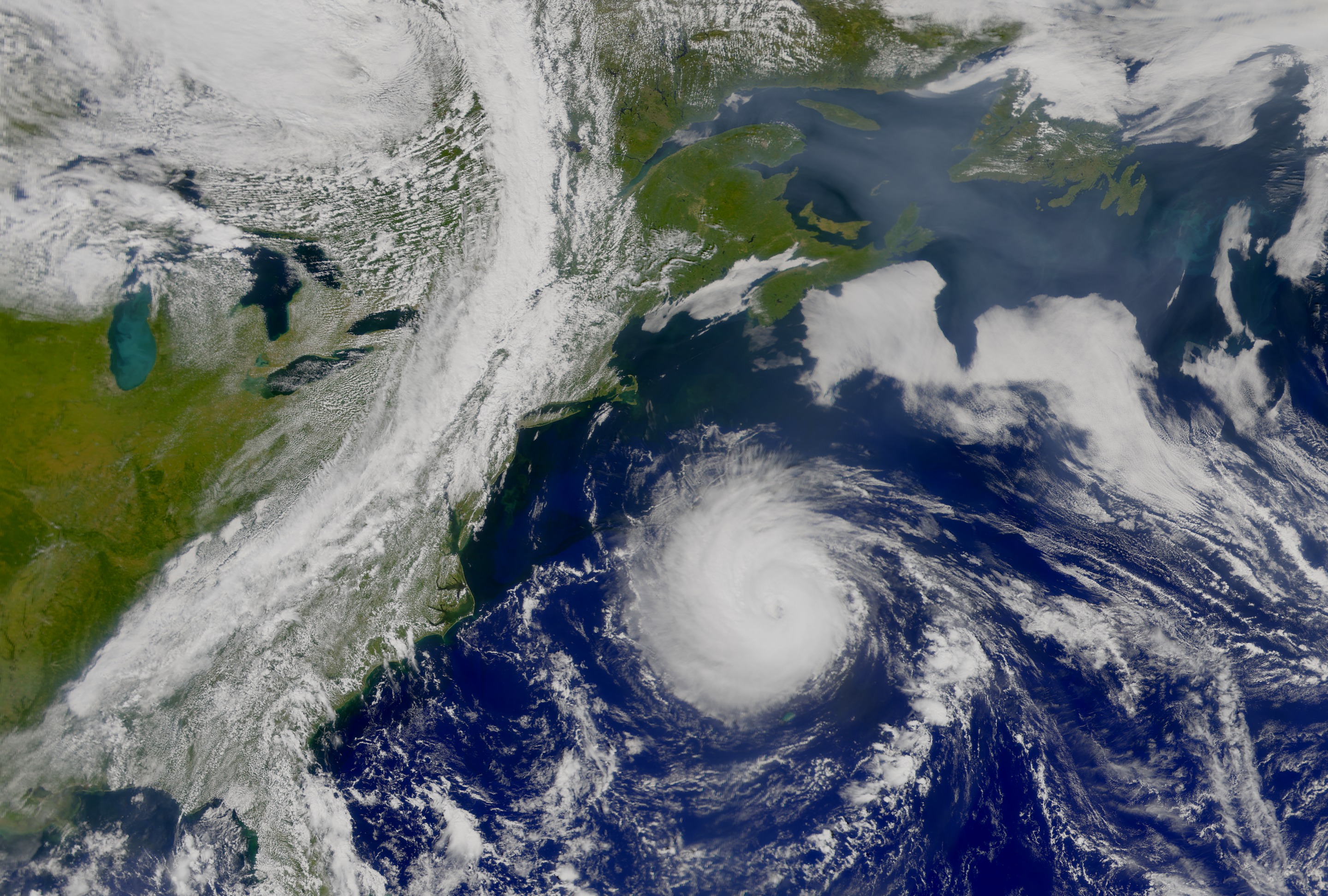
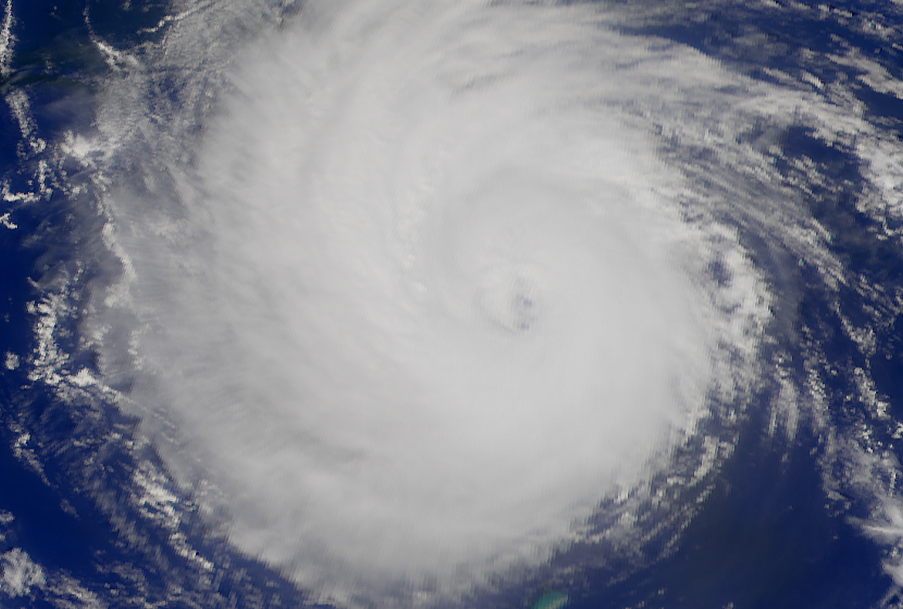
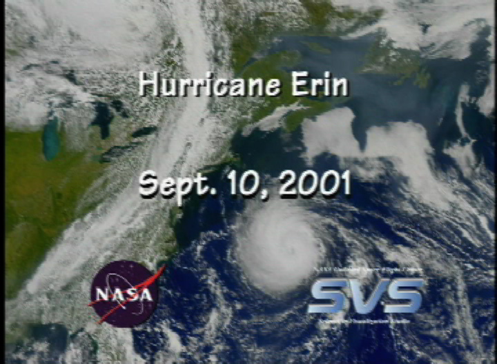
Hurricane Erin from SeaWiFS: September 10, 2001 (Version 3)
Visualization Credits
Please give credit for this item to:
NASA/Goddard Space Flight Center, The SeaWiFS Project and GeoEye, Scientific Visualization Studio. NOTE: All SeaWiFS images and data presented on this web site are for research and educational use only. All commercial use of SeaWiFS data must be coordinated with GeoEye (NOTE: In January 2013, DigitalGlobe and GeoEye combined to become DigitalGlobe).
NASA/Goddard Space Flight Center, The SeaWiFS Project and GeoEye, Scientific Visualization Studio. NOTE: All SeaWiFS images and data presented on this web site are for research and educational use only. All commercial use of SeaWiFS data must be coordinated with GeoEye (NOTE: In January 2013, DigitalGlobe and GeoEye combined to become DigitalGlobe).
Short URL to share this page:
https://svs.gsfc.nasa.gov/2273
Data Used:
Note: While we identify the data sets used in these visualizations, we do not store any further details nor the data sets themselves on our site.
This item is part of these series:
Hurricanes
SeaWiFS Hurricanes
Goddard TV Tape:
G2002-031
Keywords:
DLESE >> Natural hazards
SVS >> Hurricane Erin
NASA Science >> Earth
https://svs.gsfc.nasa.gov/2273
Data Used:
SeaStar/SeaWiFS/True Color
2001/09/10
All SeaWiFS images and data presented on this web site are for research and educational use only. All commercial use of SeaWiFS data must be coordinated with GeoEye.
Credit:
NASA/Goddard Space Flight Center, The SeaWiFS Project and GeoEye, Scientific Visualization Studio. NOTE: All SeaWiFS images and data presented on this web site are for research and educational use only. All commercial use of SeaWiFS data must be coordinated with GeoEye (NOTE: In January 2013, DigitalGlobe and GeoEye combined to become one DigitalGlobe.).
NASA/Goddard Space Flight Center, The SeaWiFS Project and GeoEye, Scientific Visualization Studio. NOTE: All SeaWiFS images and data presented on this web site are for research and educational use only. All commercial use of SeaWiFS data must be coordinated with GeoEye (NOTE: In January 2013, DigitalGlobe and GeoEye combined to become one DigitalGlobe.).
This item is part of these series:
Hurricanes
SeaWiFS Hurricanes
Goddard TV Tape:
G2002-031
Keywords:
DLESE >> Natural hazards
SVS >> Hurricane Erin
NASA Science >> Earth


