Earth
ID: 2272
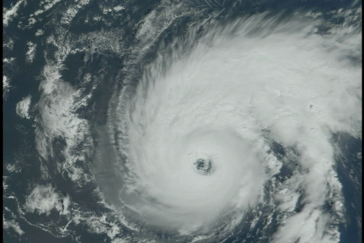
Terra/MODIS is one of many satellites that NASA has that helps us here on the ground. Keeping track of Hurricane Erin, the instrument MODIS gives us a bird's eye view.
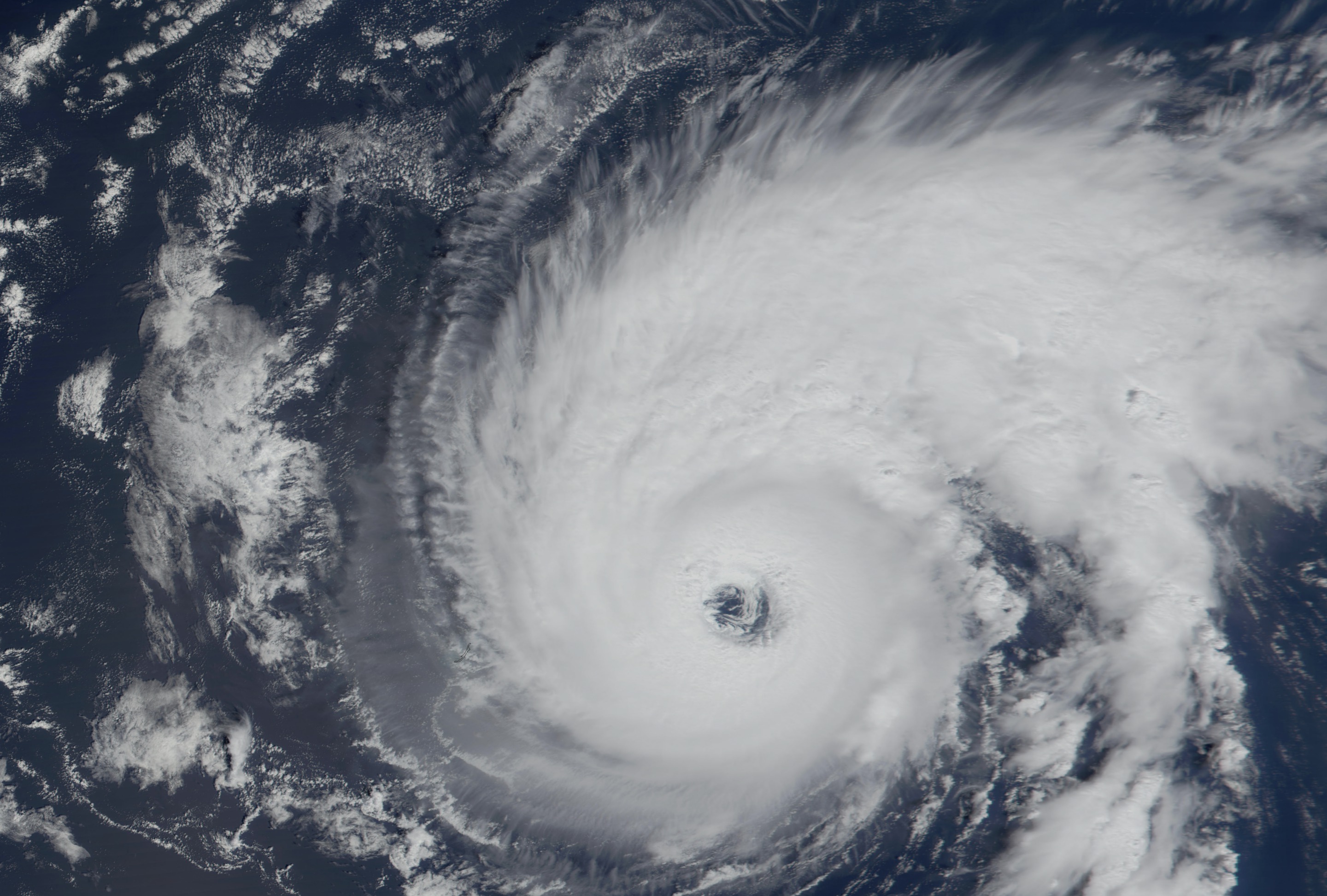
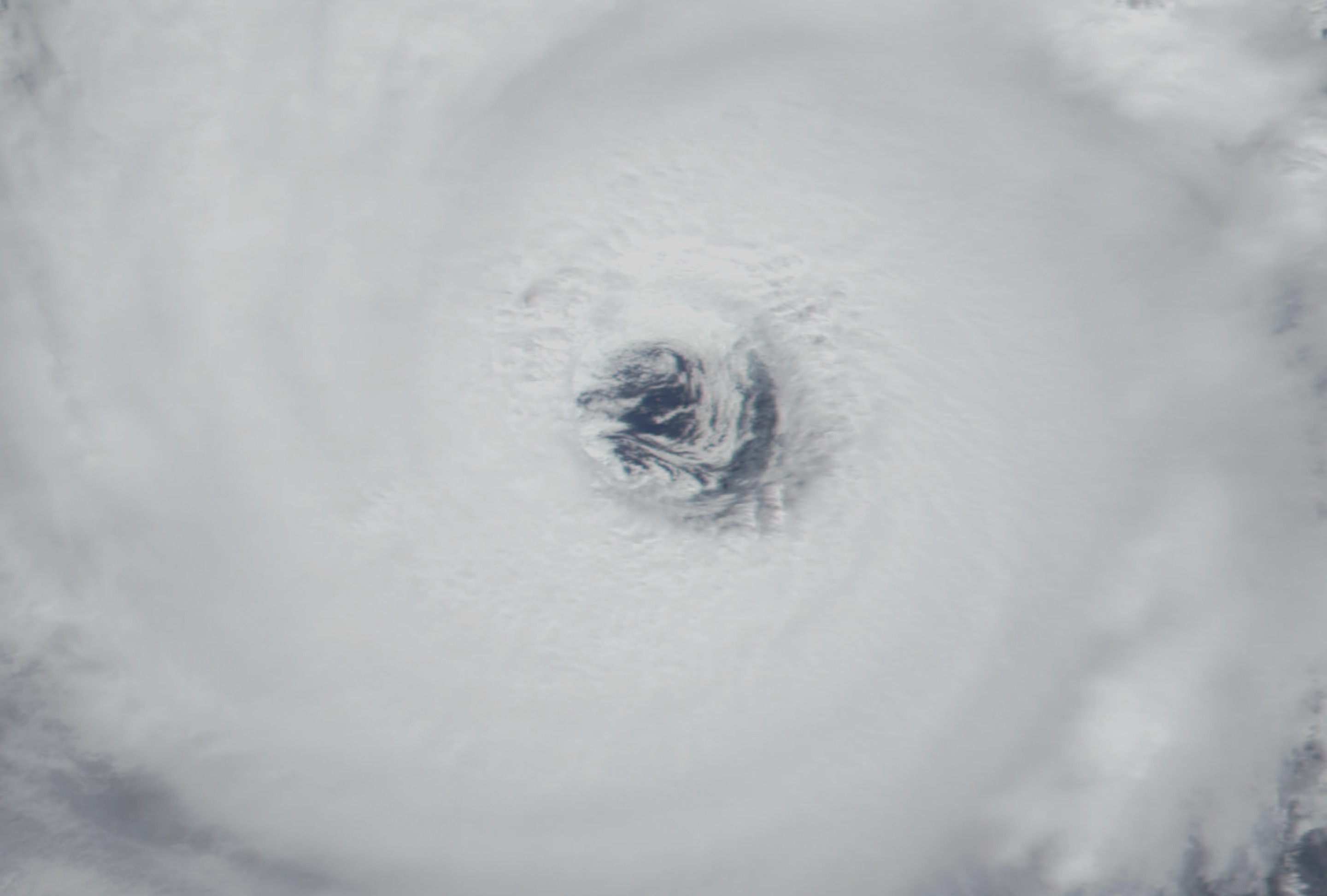
Hurricane Erin from MODIS: September 5, 2001
Visualization Credits
Please give credit for this item to:
NASA/Goddard Space Flight Center Scientific Visualization Studio
NASA/Goddard Space Flight Center Scientific Visualization Studio
Short URL to share this page:
https://svs.gsfc.nasa.gov/2272
Mission:
Terra
Data Used:
Note: While we identify the data sets used in these visualizations, we do not store any further details nor the data sets themselves on our site.
This item is part of this series:
Hurricanes
Goddard TV Tape:
G2002-031
Keywords:
DLESE >> Natural hazards
SVS >> Hurricane Erin
NASA Science >> Earth
https://svs.gsfc.nasa.gov/2272
Mission:
Terra
Data Used:
Terra/MODIS
2001/09/05This item is part of this series:
Hurricanes
Goddard TV Tape:
G2002-031
Keywords:
DLESE >> Natural hazards
SVS >> Hurricane Erin
NASA Science >> Earth


