Earth
ID: 2010
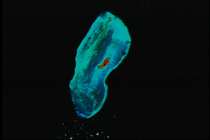
The different shades in these images highlight various features specific to each coral colony. Patches of bright red show places where coral reefs are actively populated with living organisms.
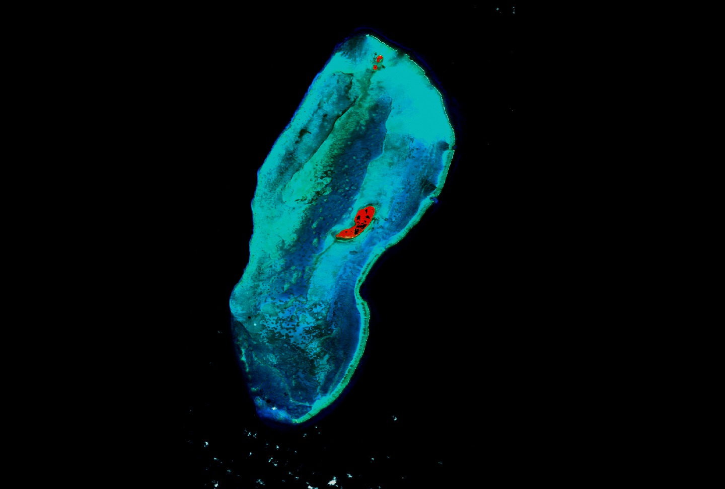
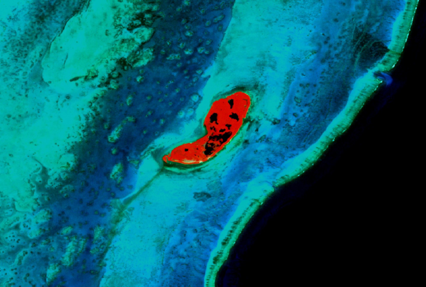
Landsat 7 Looks at Banks
Visualization Credits
Please give credit for this item to:
NASA/Goddard Space Flight Center Scientific Visualization Studio
NASA/Goddard Space Flight Center Scientific Visualization Studio
Short URL to share this page:
https://svs.gsfc.nasa.gov/2010
Mission:
Landsat
Data Used:
Note: While we identify the data sets used in these visualizations, we do not store any further details nor the data sets themselves on our site.
This item is part of this series:
Landsat 7 Coral Reefs
Goddard TV Tape:
G2000-097
Keywords:
SVS >> Atolls
SVS >> Banks
SVS >> Barriers
DLESE >> Biological oceanography
SVS >> Coral Reefs
NASA Science >> Earth
https://svs.gsfc.nasa.gov/2010
Mission:
Landsat
Data Used:
Landsat-7/ETM+
1999, 2000This item is part of this series:
Landsat 7 Coral Reefs
Goddard TV Tape:
G2000-097
Keywords:
SVS >> Atolls
SVS >> Banks
SVS >> Barriers
DLESE >> Biological oceanography
SVS >> Coral Reefs
NASA Science >> Earth


