Planets and Moons
ID: 20081
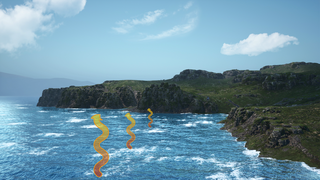
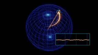
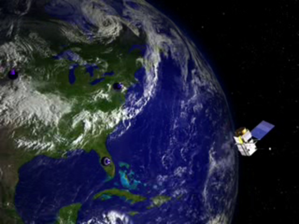
To some extent, geodesy is the study of the shape of the Earth. But it is also the study of how to find precise locations on the planet. As it relates to the study of sea level, geodesy becomes vital. The Earth is not a perfect shape and is constantly changing. Only through a very carefully constructed system of analysis can scientists achieve the necessary accuracy about the planet's shape (the so-called 'geoid') to make measurements of sea level from space. In this animation we look at how a fleet of ground based lasers and the Global Positioning Satellite fleet contribute to a mathematically representative picture of the Earth.
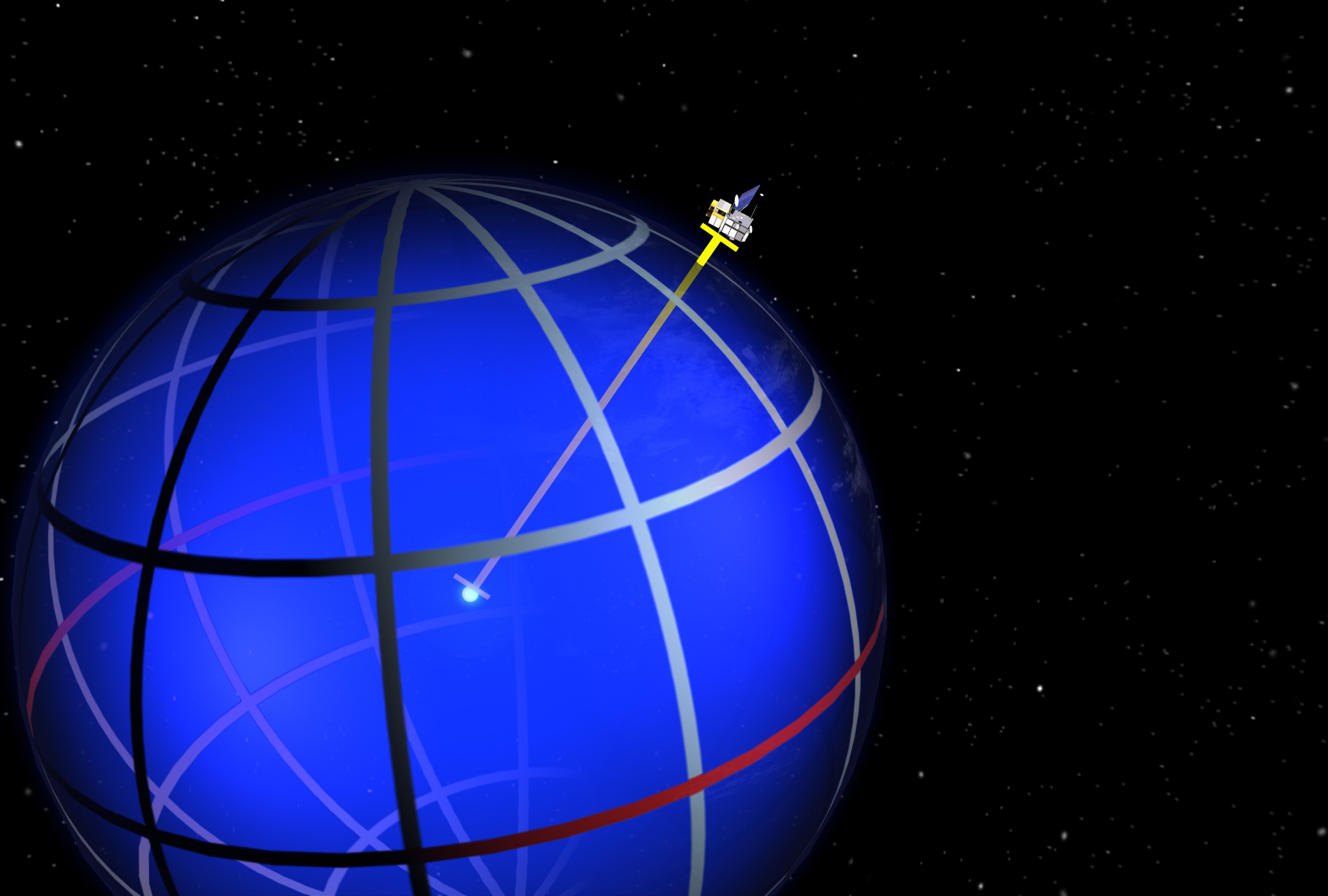
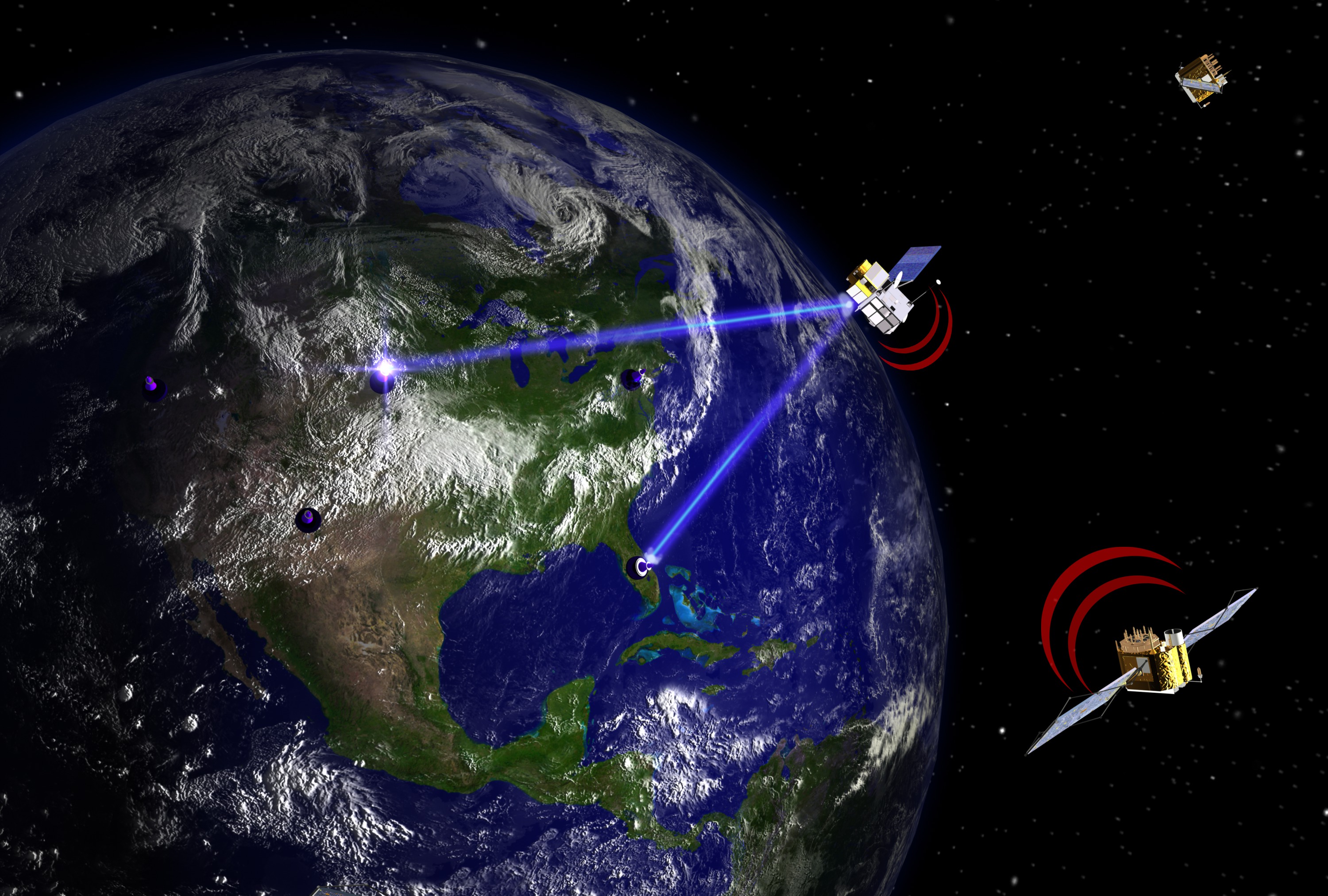
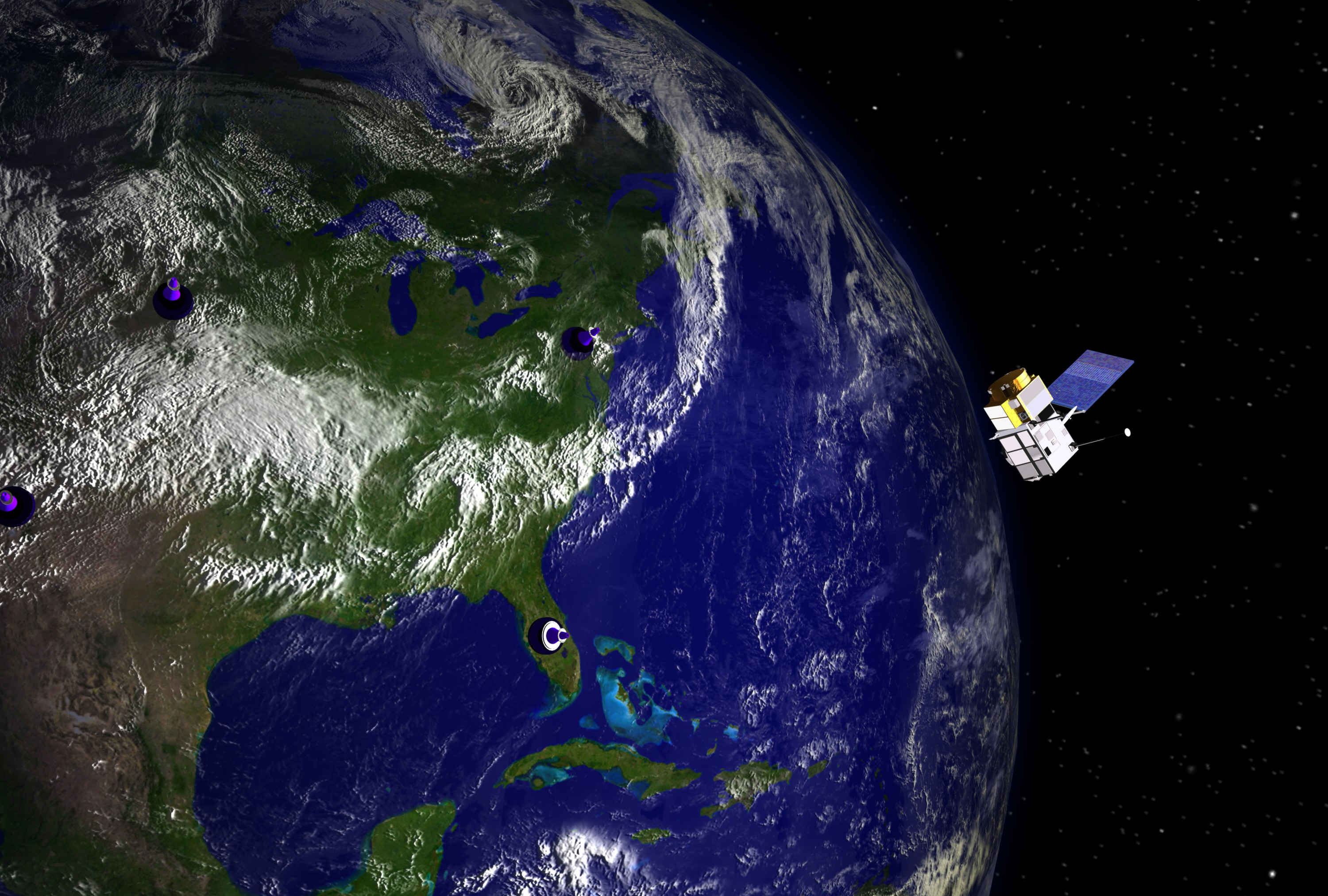
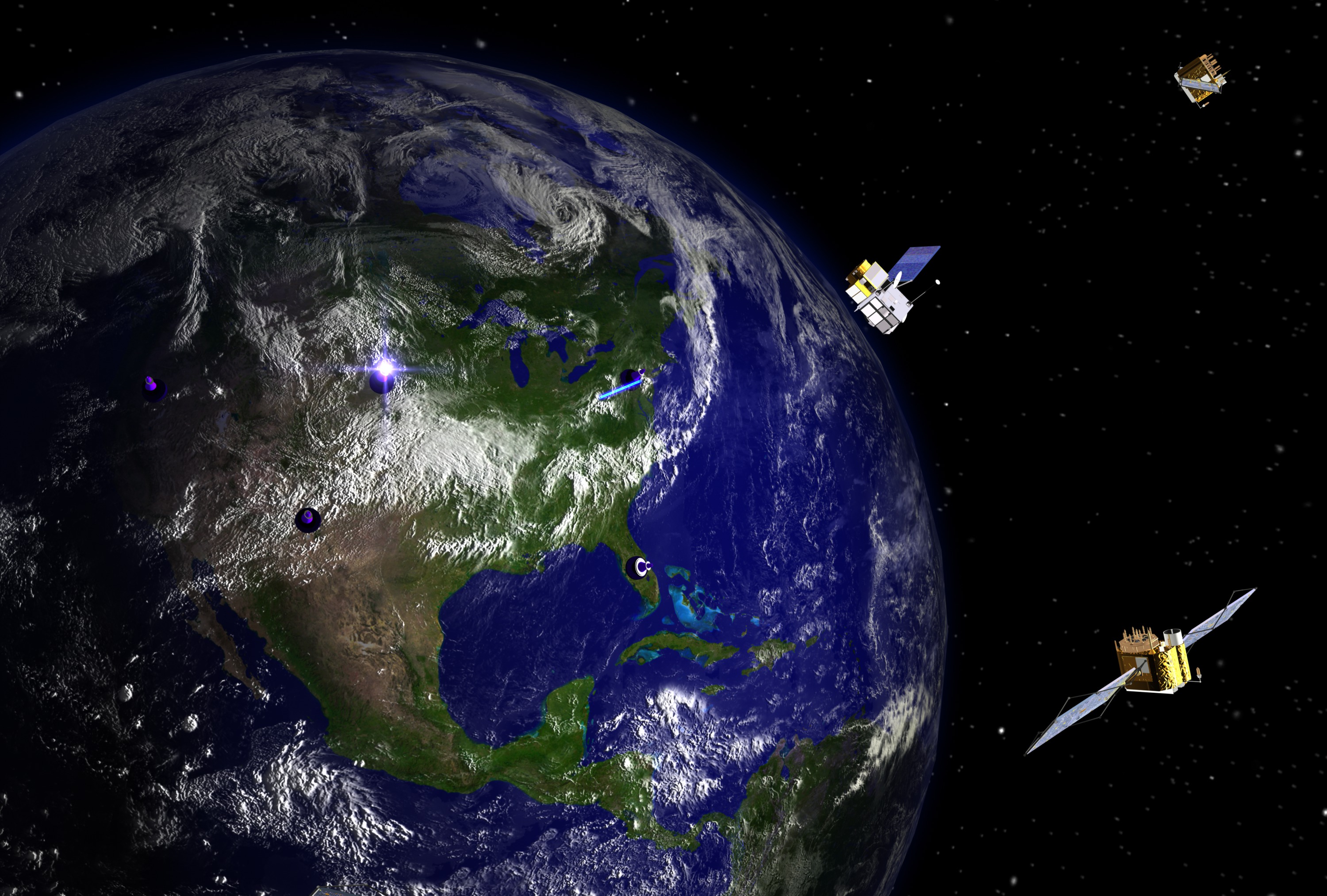
Geodesy
Animation Credits
Please give credit for this item to:
NASA/Goddard Space Flight Center Conceptual Image Lab
NASA/Goddard Space Flight Center Conceptual Image Lab
Short URL to share this page:
https://svs.gsfc.nasa.gov/20081
Goddard TV Tape:
G2005-054
Keywords:
GCMD >> Earth Science >> Solid Earth >> Geodetics/Gravity
GCMD >> Earth Science >> Oceans >> Sea Surface Topography >> Sea Surface Height
NASA Science >> Planets and Moons
GCMD keywords can be found on the Internet with the following citation: Olsen, L.M., G. Major, K. Shein, J. Scialdone, S. Ritz, T. Stevens, M. Morahan, A. Aleman, R. Vogel, S. Leicester, H. Weir, M. Meaux, S. Grebas, C.Solomon, M. Holland, T. Northcutt, R. A. Restrepo, R. Bilodeau, 2013. NASA/Global Change Master Directory (GCMD) Earth Science Keywords. Version 8.0.0.0.0