Earth
ID: 14
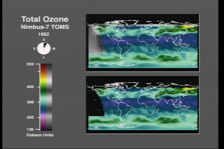
Restorer is a visualization technique for indicating the location of missing data in a scientific visualization. Rather than filling missing data regions with interpolated data colored with the same scale as real data or simply leaving such regions empty, the restorer technique fills the regions with interpolated data colored with a color table with only luminance values. This technique allows missing data to be indicated clearly without distracting from the content of the real data.
Restorer: An Example with Ozone Data
Visualization Credits
Ray Twiddy (Hughes STX): Lead Animator
John Cavallo (Hughes STX): Animator
Shahram Shiri (NASA): Animator
Ray Twiddy (Hughes STX): Scientist
John Cavallo (Hughes STX): Animator
Shahram Shiri (NASA): Animator
Ray Twiddy (Hughes STX): Scientist
Please give credit for this item to:
NASA/Goddard Space Flight Center Scientific Visualization Studio
NASA/Goddard Space Flight Center Scientific Visualization Studio
Short URL to share this page:
https://svs.gsfc.nasa.gov/14
Data Used:
Note: While we identify the data sets used in these visualizations, we do not store any further details nor the data sets themselves on our site.
This item is part of this series:
Restorer
Keywords:
DLESE >> Technology
GCMD >> Earth Science >> Atmosphere >> Atmospheric Chemistry/Oxygen Compounds >> Ozone
NASA Science >> Earth
GCMD keywords can be found on the Internet with the following citation: Olsen, L.M., G. Major, K. Shein, J. Scialdone, S. Ritz, T. Stevens, M. Morahan, A. Aleman, R. Vogel, S. Leicester, H. Weir, M. Meaux, S. Grebas, C.Solomon, M. Holland, T. Northcutt, R. A. Restrepo, R. Bilodeau, 2013. NASA/Global Change Master Directory (GCMD) Earth Science Keywords. Version 8.0.0.0.0
https://svs.gsfc.nasa.gov/14
Data Used:
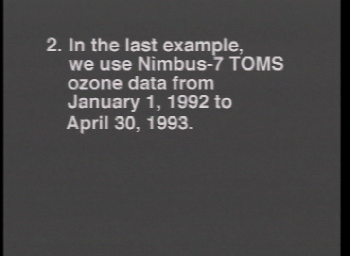
Nimbus-7/TOMS
1992/01/01-1993/04/30This item is part of this series:
Restorer
Keywords:
DLESE >> Technology
GCMD >> Earth Science >> Atmosphere >> Atmospheric Chemistry/Oxygen Compounds >> Ozone
NASA Science >> Earth
GCMD keywords can be found on the Internet with the following citation: Olsen, L.M., G. Major, K. Shein, J. Scialdone, S. Ritz, T. Stevens, M. Morahan, A. Aleman, R. Vogel, S. Leicester, H. Weir, M. Meaux, S. Grebas, C.Solomon, M. Holland, T. Northcutt, R. A. Restrepo, R. Bilodeau, 2013. NASA/Global Change Master Directory (GCMD) Earth Science Keywords. Version 8.0.0.0.0


