Earth
ID: 11752

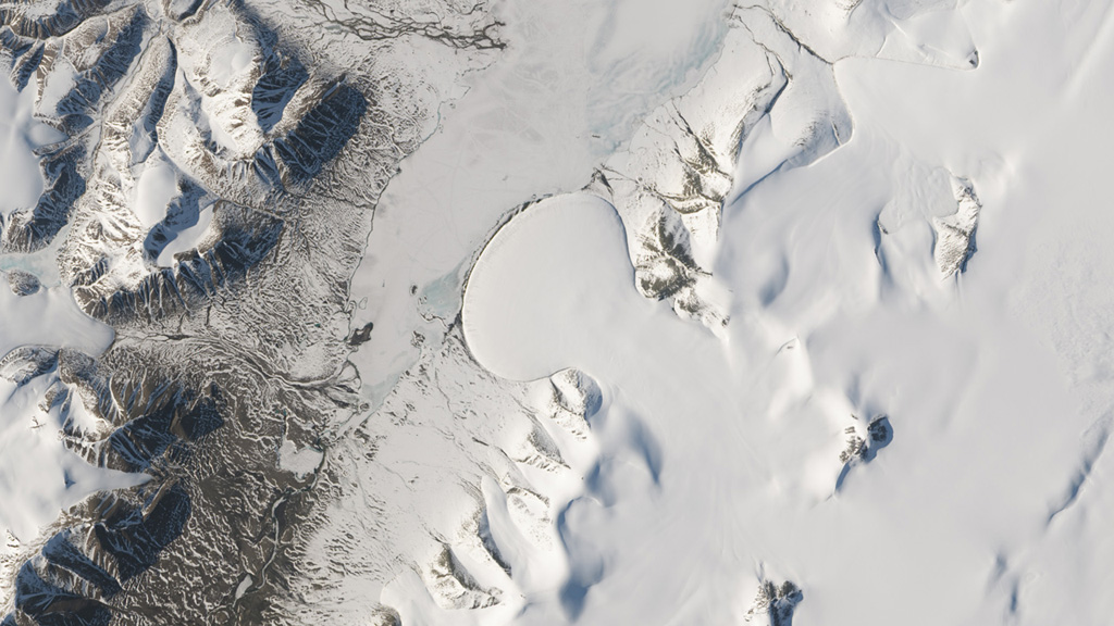
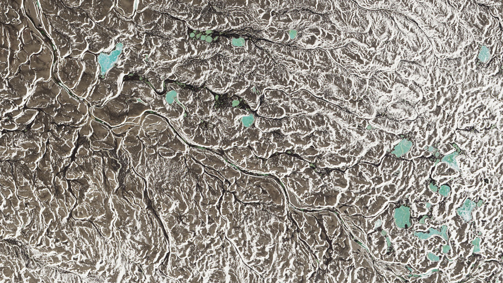
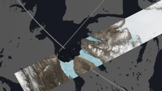
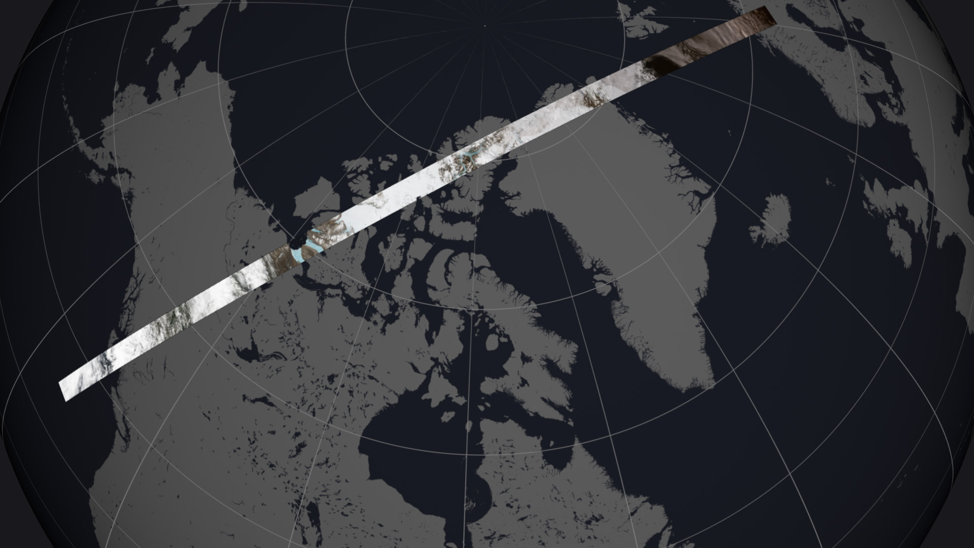
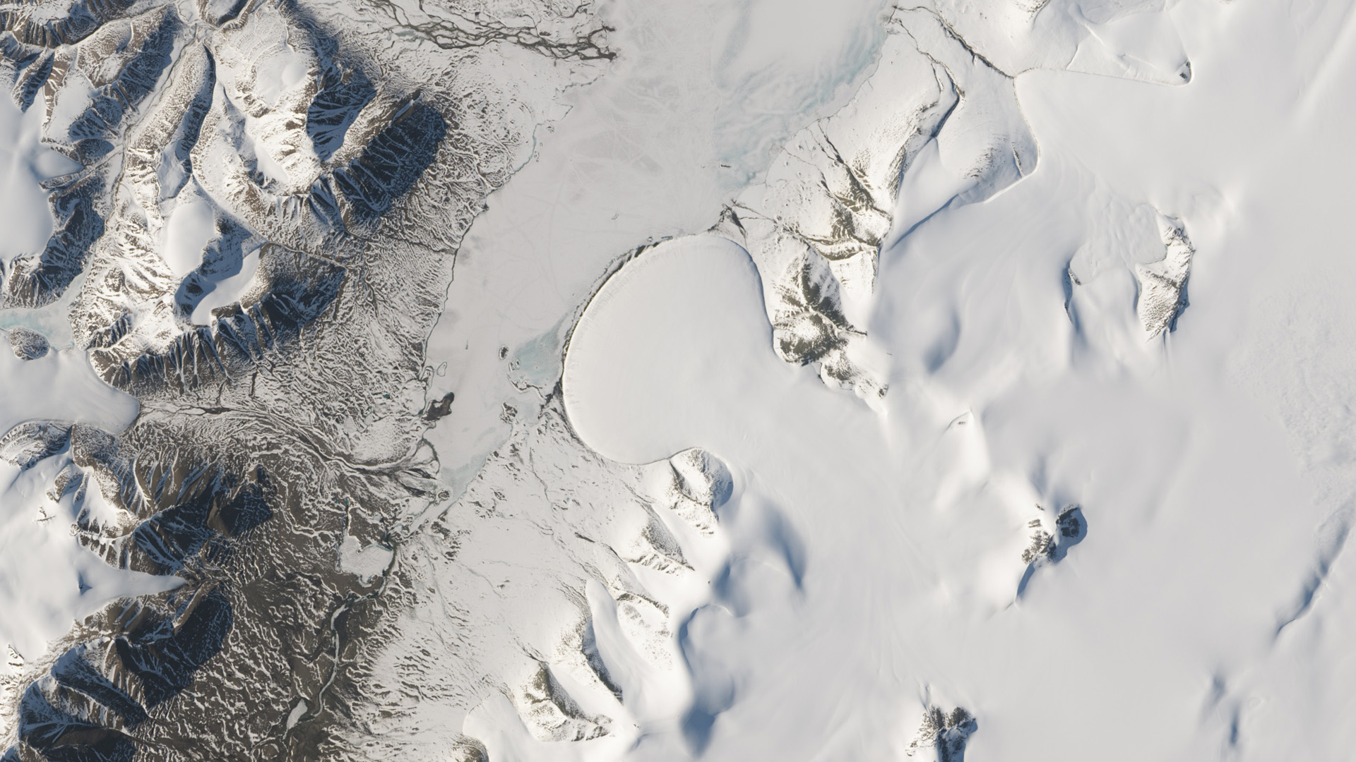
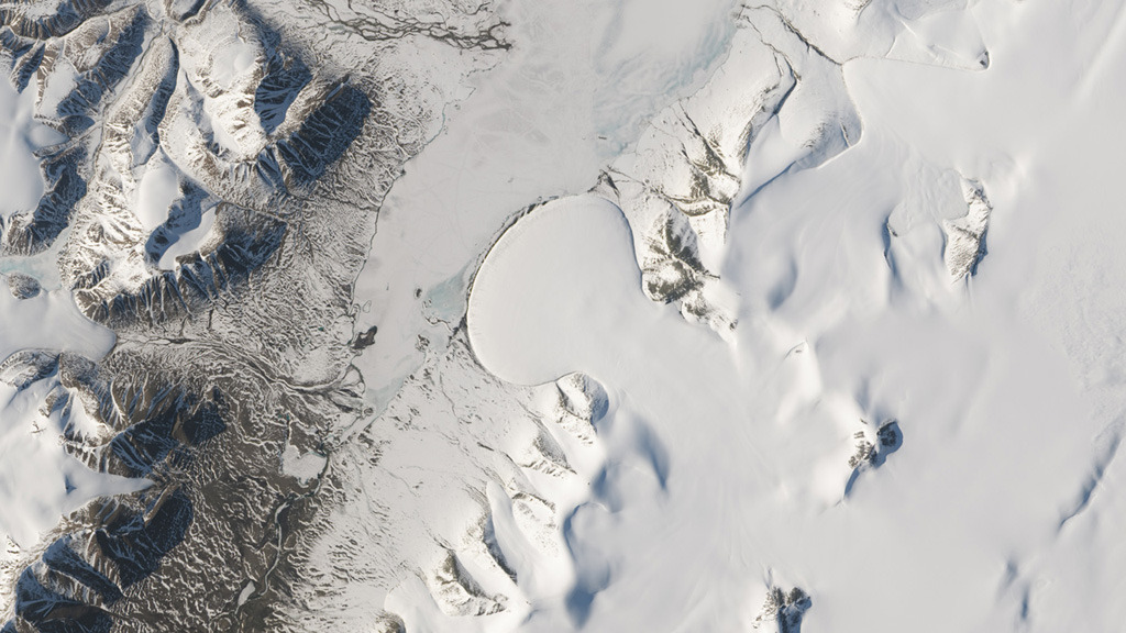
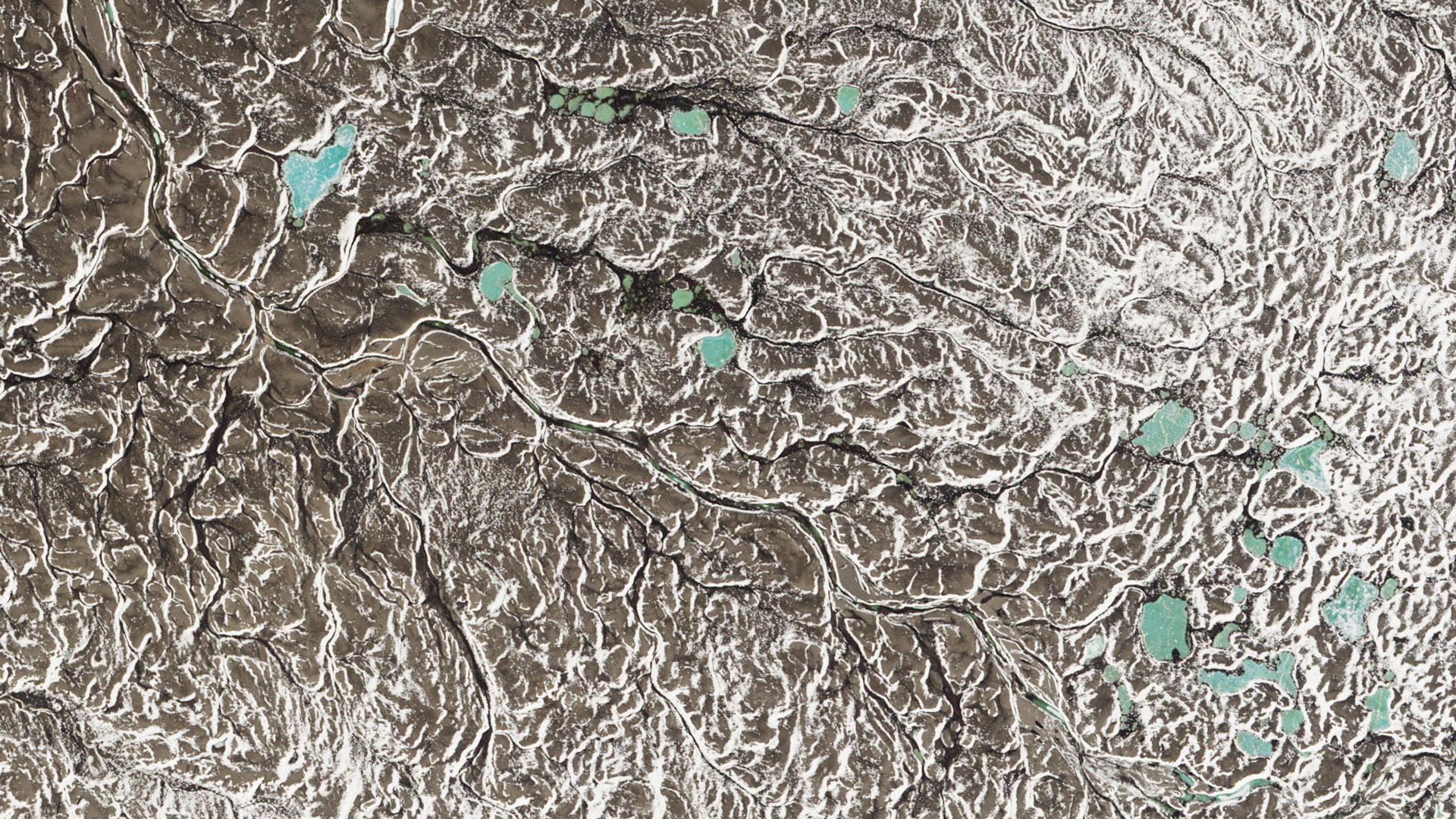
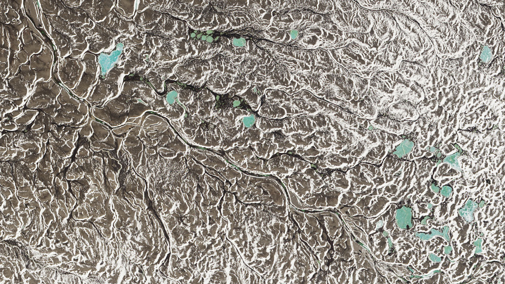
In the Arctic summer, there are days when the sun never sets. This period of extended sunlight offers the chance to observe long expanses of Earth’s northern latitudes from space. On June 21, 2014—the summer solstice—the Operational Land Imager on the USGS-NASA Landsat 8 satellite acquired an image swath that exhibits the Arctic’s sunlit, although sometimes cloud-covered, land and ocean features. The swath in its entirety stretches roughly 4,200 miles long by 120 miles wide. The scenes begin in Scandinavia, track across Greenland, and end in western Canada. Watch the video to fly along on a tour of Arctic landscapes.

A Long View Of The Arctic
Related Stories

For More Information
Story Credits
Lead Visualizer/Animator:
Jesse Allen (Sigma Space Corporation)
Visualizers/Animators:
Robert Simmon (Sigma Space Corporation)
Lori Perkins (NASA/GSFC)
Paul Przyborski (SSAI)
Video Editor:
Matthew R. Radcliff (USRA)
Lead Producer:
Matthew R. Radcliff (USRA)
Lead Writer:
Kathryn Hansen (SSAI)
Jesse Allen (Sigma Space Corporation)
Visualizers/Animators:
Robert Simmon (Sigma Space Corporation)
Lori Perkins (NASA/GSFC)
Paul Przyborski (SSAI)
Video Editor:
Matthew R. Radcliff (USRA)
Lead Producer:
Matthew R. Radcliff (USRA)
Lead Writer:
Kathryn Hansen (SSAI)
Please give credit for this item to:
NASA's Earth Observatory
Satellite images courtesy of NASA Earth Observatory/Jesse Allen
NASA's Earth Observatory
Satellite images courtesy of NASA Earth Observatory/Jesse Allen
Short URL to share this page:
https://svs.gsfc.nasa.gov/11752
Keywords:
SVS >> App
NASA Science >> Earth
https://svs.gsfc.nasa.gov/11752
Keywords:
SVS >> App
NASA Science >> Earth


