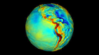
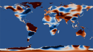
Earth
ID: 11470

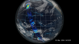
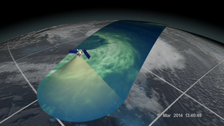
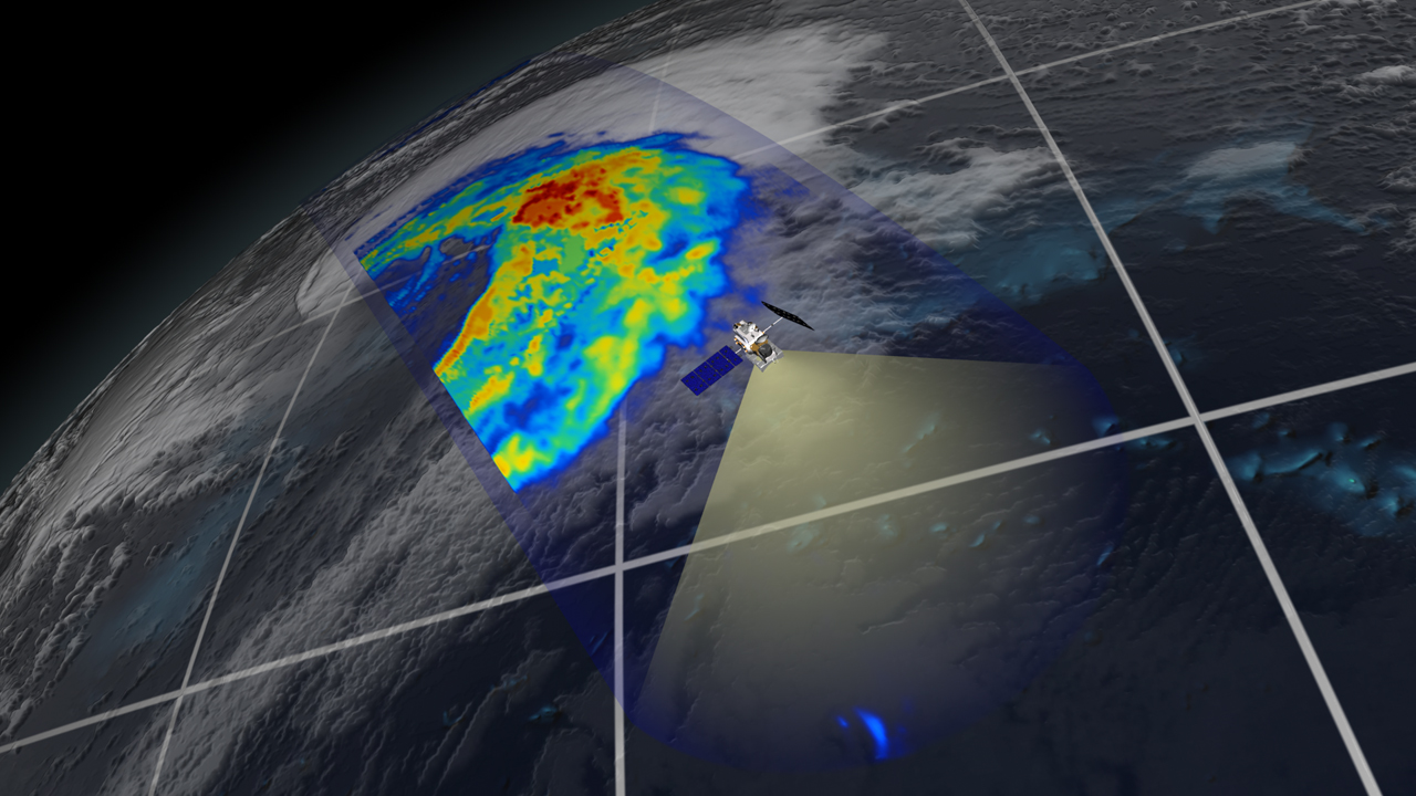
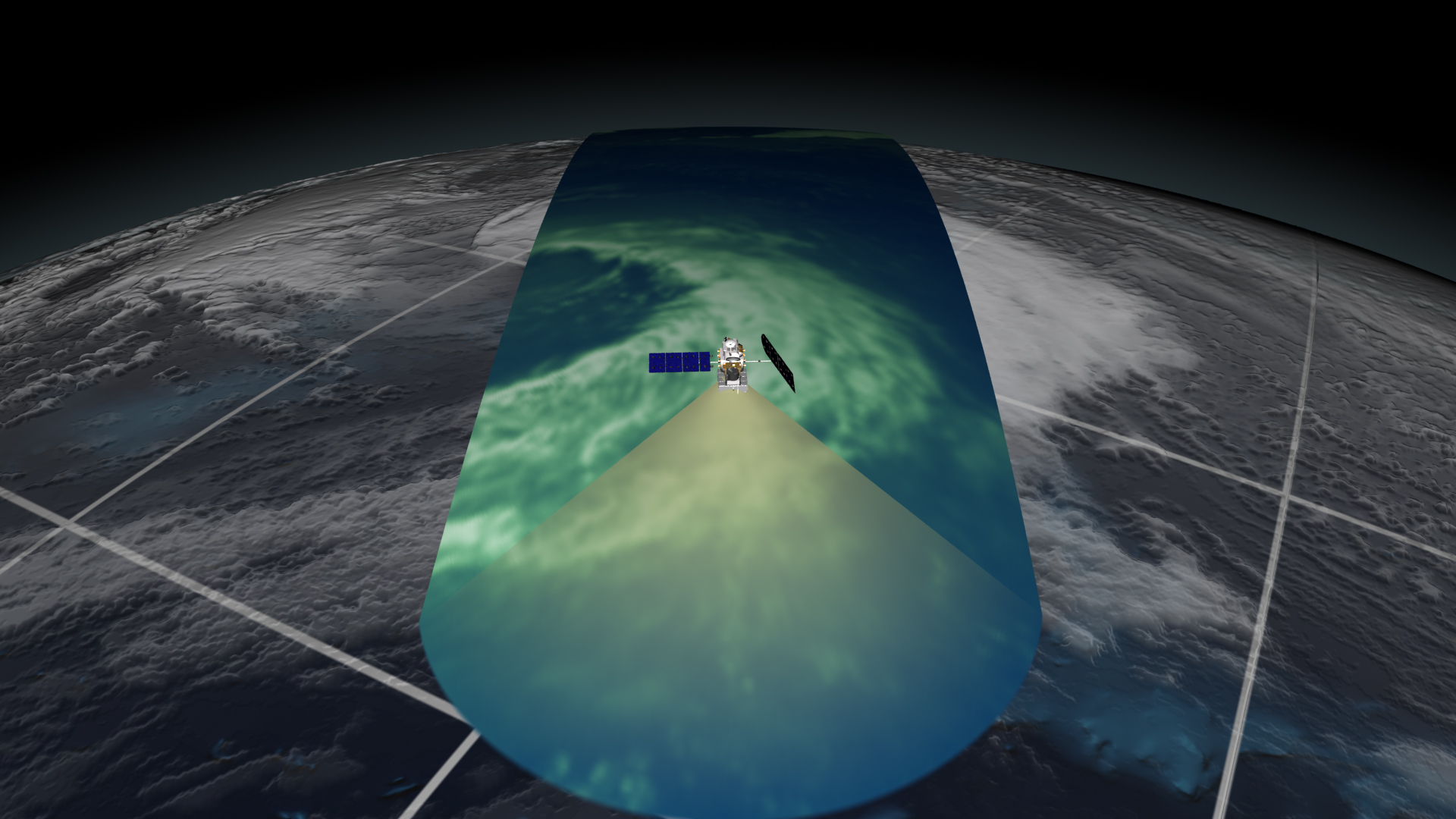
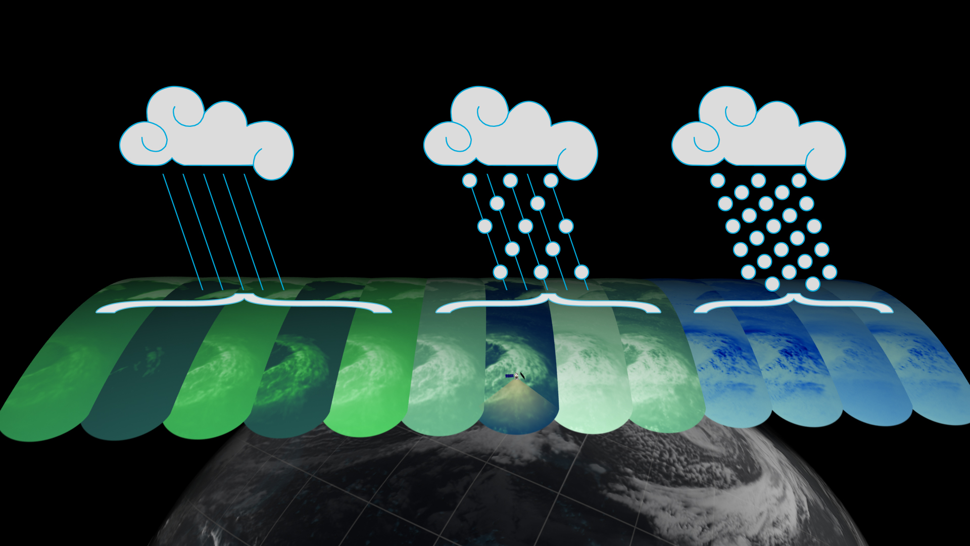
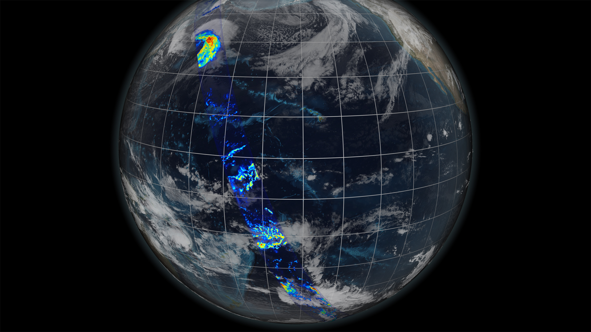
An extratropical cyclone spun across the North Pacific near Japan on March 10, 2014. The cyclone became the first storm imaged by NASA’s Global Precipitation Measurement (GPM) Core Observatory, launched eleven days earlier. The two instruments aboard the satellite are tuned in to different types of precipitation—rain, snow, and any mixture of the two, letting scientists see exactly where each is falling inside a storm. This kind of detail is important for understanding how storms behave and how the water essential to life moves around the planet. Watch the video to learn more about the satellite and how it observes our watery world.


Seeing Precipitation From Space
Related Stories

For More Information
Story Credits
Visualizers/Animators:
Alex Kekesi (Global Science and Technology, Inc.)
Greg Shirah (NASA/GSFC)
Ernie Wright (USRA)
Video Editor:
Ryan Fitzgibbons (USRA)
Narration:
Ryan Fitzgibbons (USRA)
Narrator:
Dan Gallagher (USRA)
Producers:
Ryan Fitzgibbons (USRA)
Rani Gran (NASA/GSFC)
Lead Scientists:
Gail Skofronick Jackson (NASA/GSFC)
Dalia B Kirschbaum (NASA/GSFC)
Chris Kidd (University of Maryland)
Project Support:
Laurence Schuler (ADNET Systems, Inc.)
Ian Jones (ADNET Systems, Inc.)
Robert Simmon (Sigma Space Corporation)
Jesse Allen (Sigma Space Corporation)
John M. Kwiatkowski (George Mason University)
Lead Writer:
Ellen T. Gray (ADNET Systems, Inc.)
Please give credit for this item to:
NASA's Scientific Visualization Studio
NASA's Scientific Visualization Studio
Short URL to share this page:
https://svs.gsfc.nasa.gov/11470
Keywords:
DLESE >> Narrated
SVS >> App
NASA Science >> Earth
https://svs.gsfc.nasa.gov/11470
Keywords:
DLESE >> Narrated
SVS >> App
NASA Science >> Earth