Earth
ID: 11410
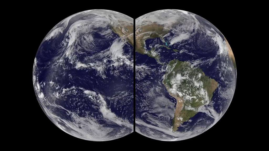
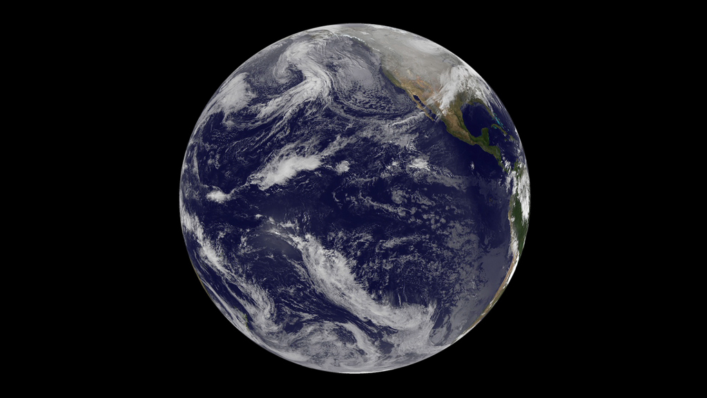
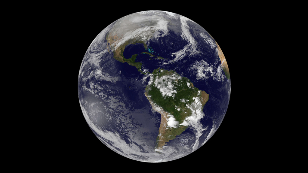
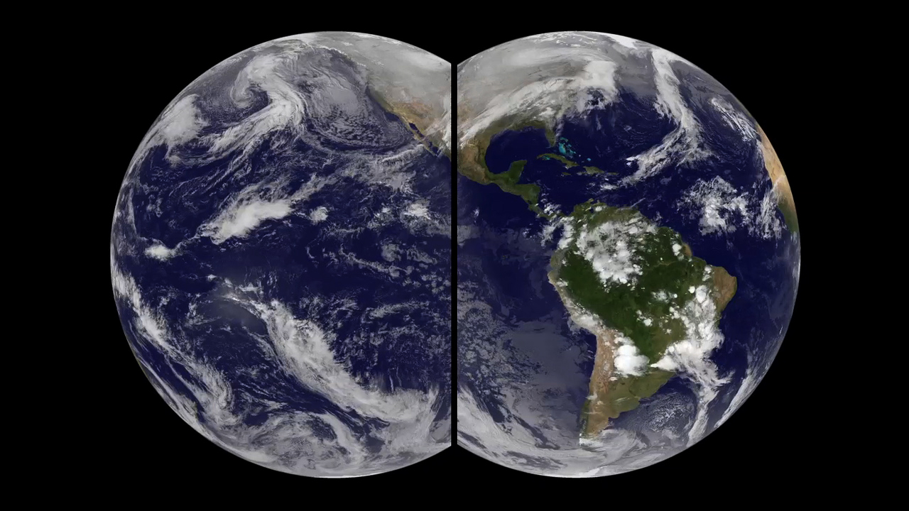
To better see how clouds and weather move broadly around the globe, scientists have taken two satellite views of Earth and turned them into one big picture. The views come from data collected by the GOES 15 and GOES 13 weather satellites. Designed by NASA and operated by NOAA, the satellites orbit Earth at the same rate that the planet turns on its axis, allowing them to hold fixed positions in space about 4,000 miles apart and 22,000 miles above the surface. Every 15 minutes, the satellites generate a full-disk image of Earth—one centered over the western United States, and another over the eastern United States. By combining the two images, scientists can get a wide-angle look at how large weather patterns travel across the country. Watch the video to see a time-lapse animation assembled from 10 days’ worth of satellite imagery.

The Wide Angle
For More Information
Story Credits
Please give credit for this item to:
NASA's Goddard Space Flight Center
Video and images courtesy of NOAA-NASA GOES Project
NASA's Goddard Space Flight Center
Video and images courtesy of NOAA-NASA GOES Project
Short URL to share this page:
https://svs.gsfc.nasa.gov/11410
Keywords:
NASA Science >> Earth
SVS >> App
https://svs.gsfc.nasa.gov/11410
Keywords:
NASA Science >> Earth
SVS >> App
