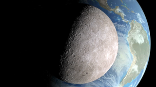
Earth
ID: 11175
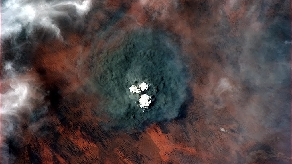
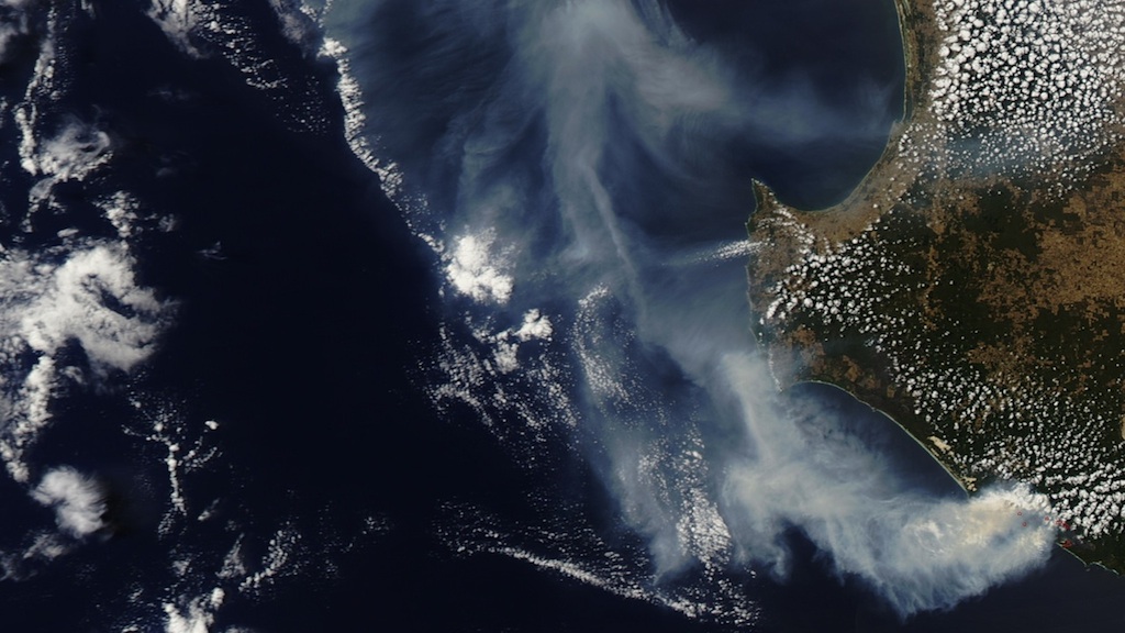
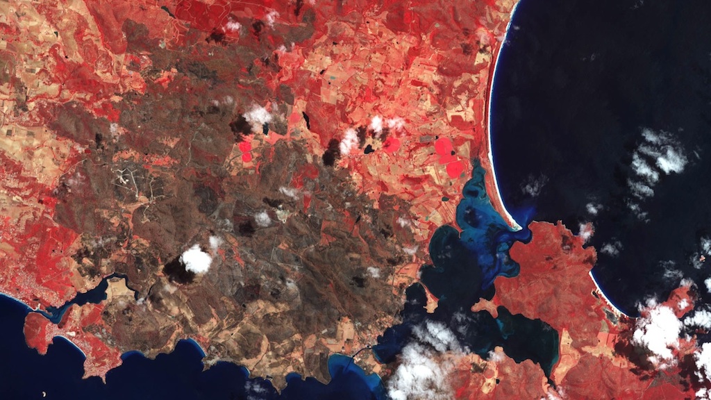
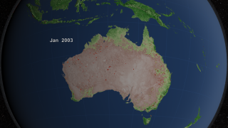
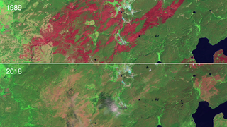
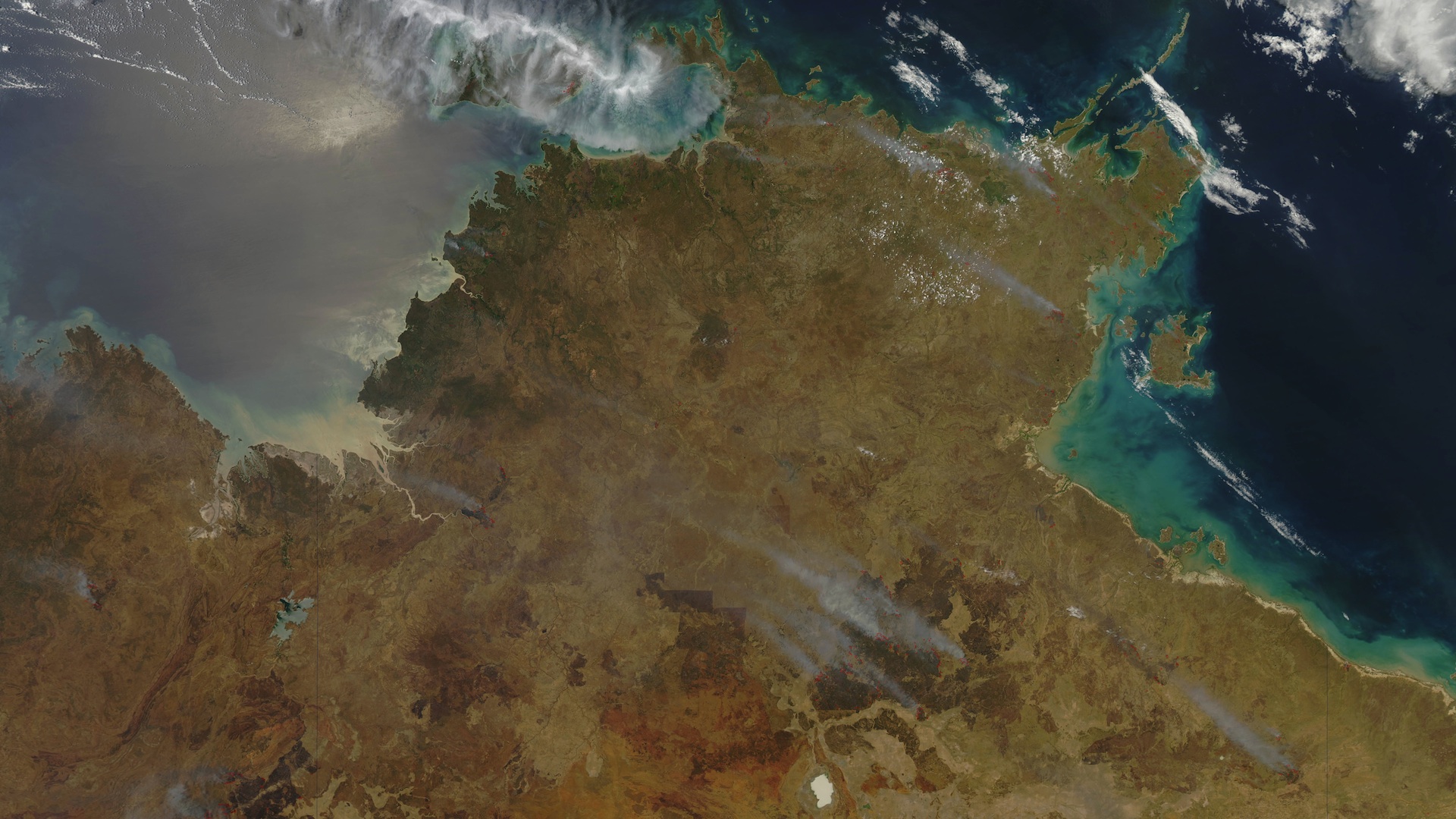
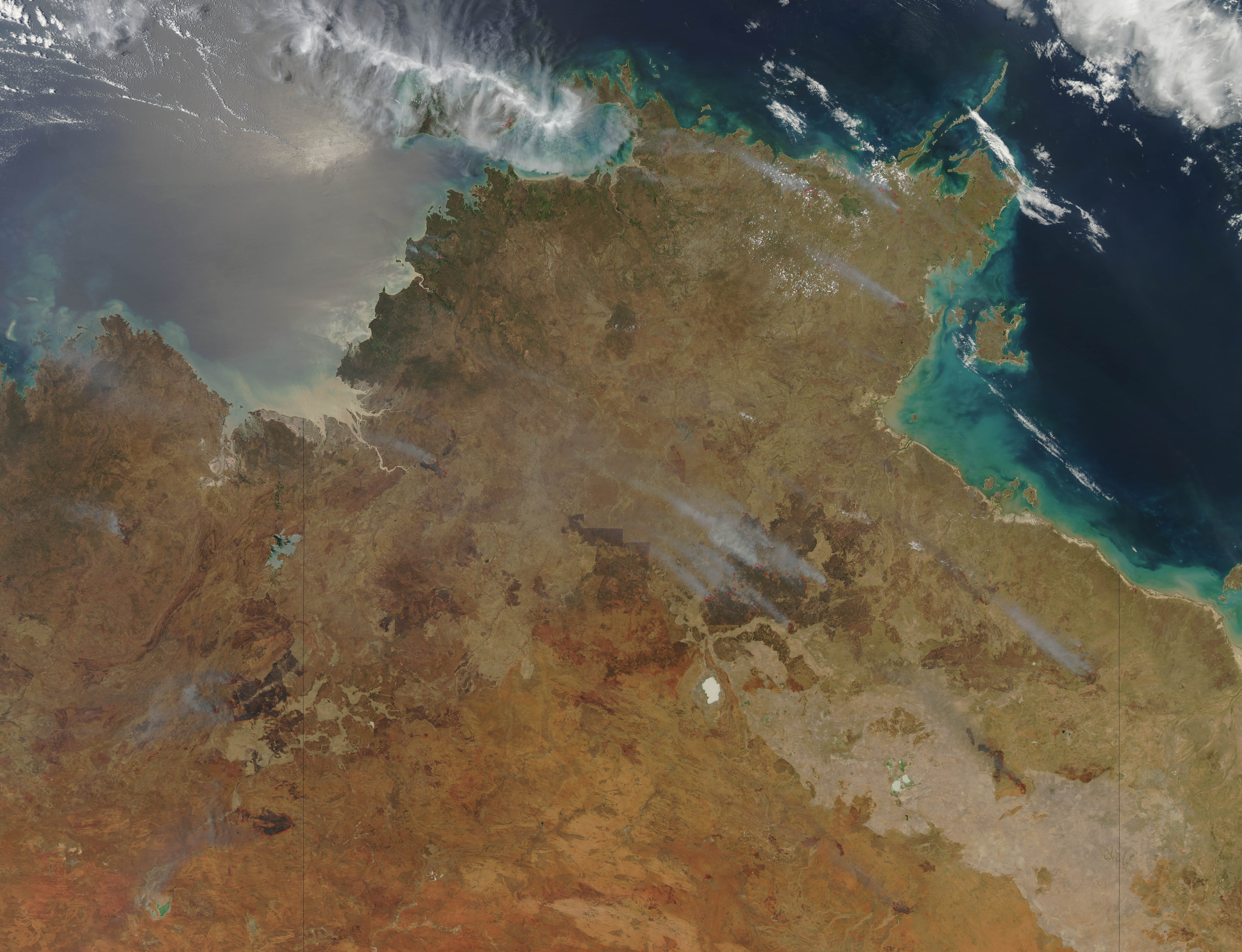
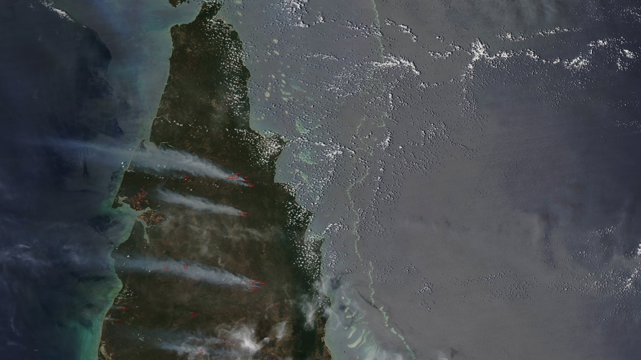
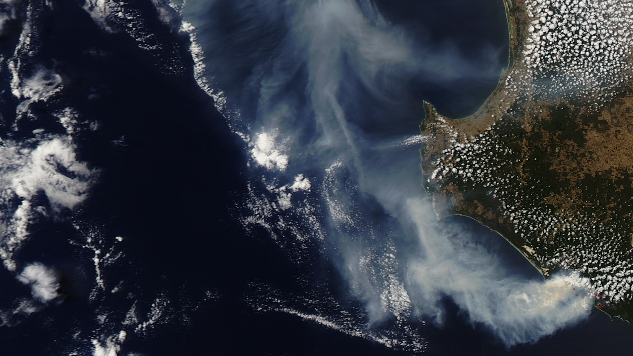
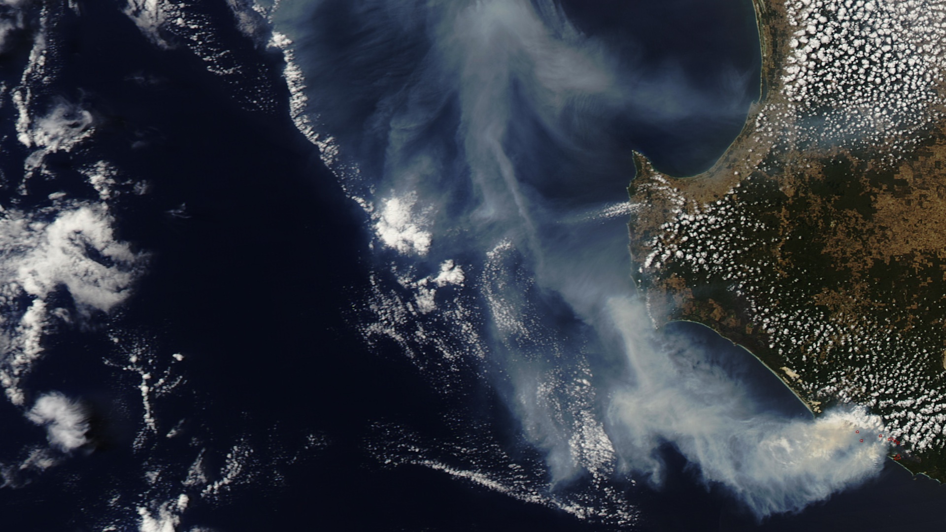
Australia's blisteringly dry climate makes it prone to fire every summer. But an extreme, record-breaking heat wave that began in late 2012 has sparked hundreds of wildfires this season. As firefighting crews battled fires across Australia, NASA satellites captured a wide-angle view of the activity. Imaging instruments snapped shots of smoke plumes drifting off to sea, and thermal sensors detected the location of individual fires and the severity of burn scars. A longer-term look at fire activity in Australia reveals a pattern of controlled fires in fall and winter—often set by fire managers to reduce "fuel"—and bursts of less predictable, more intense wildfires during spring and summer. The visualization shows 10 years of fires and vegetation changes across Australia, observed by the MODIS instruments on NASA's Terra and Aqua satellites.


Scorched Earth
Related Story
For More Information
Story Credits
Visualizers/Animators:
Lori Perkins (NASA/GSFC)
Greg Shirah (NASA/GSFC)
Producer:
Kayvon Sharghi (USRA)
Lead Scientists:
Chris Justice (University of Maryland)
Louis Giglio (University of Maryland)
Luigi Boschetti Ph.D. (University Of Maryland College Park)
Lead Writer:
Patrick Lynch (Wyle Information Systems)
Lori Perkins (NASA/GSFC)
Greg Shirah (NASA/GSFC)
Producer:
Kayvon Sharghi (USRA)
Lead Scientists:
Chris Justice (University of Maryland)
Louis Giglio (University of Maryland)
Luigi Boschetti Ph.D. (University Of Maryland College Park)
Lead Writer:
Patrick Lynch (Wyle Information Systems)
Please give credit for this item to:
NASA's Goddard Space Flight Center
Cover photo courtesy Commander Chris Hadfield, International Space Station
Satellite images courtesy of NASA Earth Observatory
NASA's Goddard Space Flight Center
Cover photo courtesy Commander Chris Hadfield, International Space Station
Satellite images courtesy of NASA Earth Observatory
Short URL to share this page:
https://svs.gsfc.nasa.gov/11175
Keywords:
SVS >> App
NASA Science >> Earth
https://svs.gsfc.nasa.gov/11175
Keywords:
SVS >> App
NASA Science >> Earth
