Earth
ID: 10897
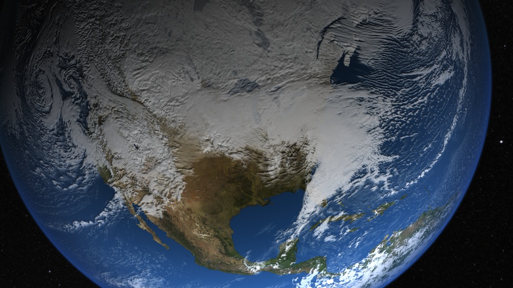
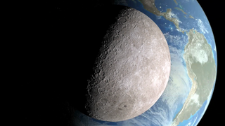
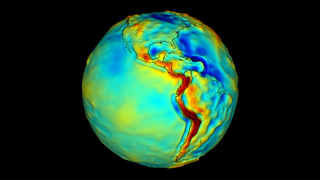
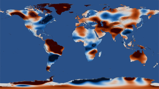
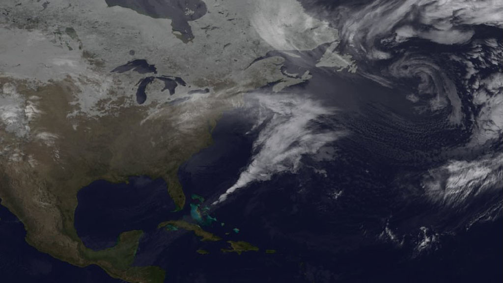
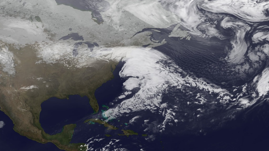
Satellites provide dramatic views of clouds, but in order to understand the processes that underlie how clouds form and evolve, scientists turn to complex computer models that simulate Earth's atmosphere. By feeding a range of ground, aircraft and satellite data into Goddard's Earth Observing System Model (GEOS-5), research meteorologists can see how closely the mathematical equations used to simulate atmospheric dynamics match reality. Such models are by no means perfect, but they have improved tremendously in recent years. The visualizations below, based on GEOS-5 model runs from February 2010, show how well the model reproduced the massive blizzard known as "Snowmageddon." In the visualization, watch Snowmageddon's sprawling, comma-shaped cloud system—complete with a tail that reaches all the way to the Caribbean—as it churns up the Eastern Seaboard dumping three feet of snow in some areas.
Relive Snowmageddon
Story Credits
Lead Visualizer/Animator:
Alex Kekesi (Global Science and Technology, Inc.)
Narrator:
Ryan Fitzgibbons (USRA)
Producer:
Kayvon Sharghi (USRA)
Lead Scientist:
William Putman (NASA/GSFC)
Lead Writer:
Adam P Voiland (Wyle Information Systems)
Alex Kekesi (Global Science and Technology, Inc.)
Narrator:
Ryan Fitzgibbons (USRA)
Producer:
Kayvon Sharghi (USRA)
Lead Scientist:
William Putman (NASA/GSFC)
Lead Writer:
Adam P Voiland (Wyle Information Systems)
Please give credit for this item to:
NASA's Goddard Space Flight Center
NASA's Goddard Space Flight Center
Short URL to share this page:
https://svs.gsfc.nasa.gov/10897
Keywords:
DLESE >> Narrated
SVS >> App
NASA Science >> Earth
https://svs.gsfc.nasa.gov/10897
Keywords:
DLESE >> Narrated
SVS >> App
NASA Science >> Earth