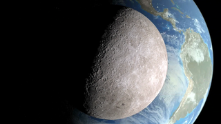
Earth
ID: 10840
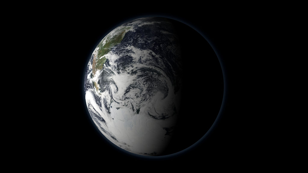
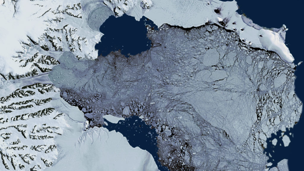
Water doesn't flow here; it freezes. Snow falls often, and if it melts it is likely to freeze again and add to the accumulation of ice that can date back thousands of millennia. If you can see the ground, it is frozen. If you cannot see the ground, it could be sitting under ice miles thick, like in Antarctica. This is the cryosphere, those regions of Earth from the North and South poles to mountain ranges near the Equator where water is found in solid form. The cryosphere covers many landscapes, but remains dominated by the polar regions. A cover of floating sea ice cracks, shrinks and expands constantly over the Arctic. Sheets of ice cover the bases of mountain ranges and cling to craggy bedrock in Antarctica and Greenland—the two ice sheets alone account for 90 percent of the fresh water on the planet. These regions of the cryosphere are important to scientists because they regulate global climate and are seeing more dramatic climate-driven changes than other regions. The Arctic is warming faster than any spot on Earth while receding and accelerating glaciers in Antarctica and Greenland raise the concern of sea level rise. Watch in the narrated tour below how NASA uses its satellite fleet to observe the remote reaches of the cryosphere.


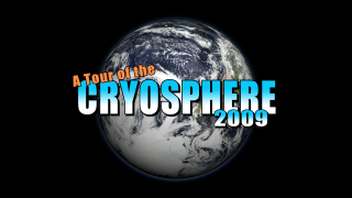
Tour Of The Cryosphere
Related Story
Story Credits
Lead Visualizer/Animator:
Alex Kekesi (Global Science and Technology, Inc.)
Visualizers/Animators:
Cindy Starr (Global Science and Technology, Inc.)
Horace Mitchell (NASA/GSFC)
Lori Perkins (NASA/GSFC)
Ryan Boller (NASA/GSFC)
Greg Shirah (NASA/GSFC)
Tom Bridgman (Global Science and Technology, Inc.)
Marte Newcombe (GST)
Helen-Nicole Kostis (USRA)
Eric Sokolowsky (GST)
Randall Jones (GST)
Video Editor:
Horace Mitchell (NASA/GSFC)
Narrator:
Michael Starobin (HTSI)
Lead Scientists:
Waleed Abdalati (NASA/HQ)
Bob Bindschadler (NASA/GSFC)
Dorothy Hall (NASA/GSFC)
Walt Meier (NSIDC)
Richard Armstrong (University of Colorado)
Ronald Weaver (University of Colorado)
Mary Jo Brodzik (University of Colorado)
Project Support:
James W. Williams (GST)
Stuart A. Snodgrass (HTSI)
Lead Writer:
Patrick Lynch (Wyle Information Systems)
Please give credit for this item to:
NASA's Goddard Space Flight Center
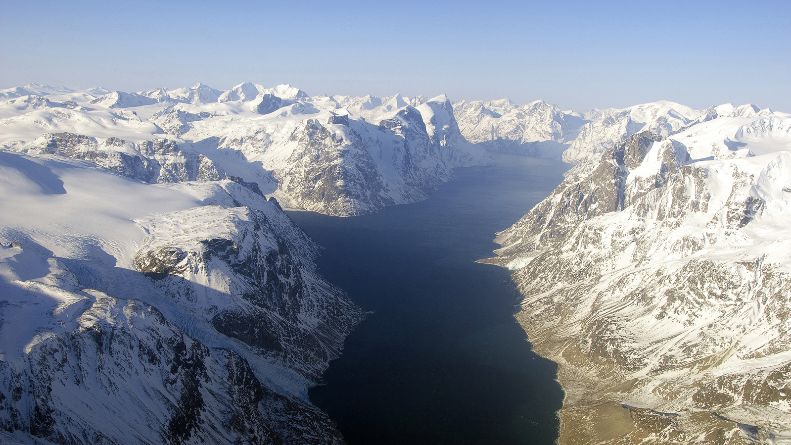
Photograph of Kangerlussuaq Fiord in Western Greenland, courtesy of NASA/GSFC/Michael Studinger
NASA's Goddard Space Flight Center
Photograph of Kangerlussuaq Fiord in Western Greenland, courtesy of NASA/GSFC/Michael Studinger
Short URL to share this page:
https://svs.gsfc.nasa.gov/10840
Keywords:
DLESE >> Narrated
SVS >> App
NASA Science >> Earth
https://svs.gsfc.nasa.gov/10840
Keywords:
DLESE >> Narrated
SVS >> App
NASA Science >> Earth