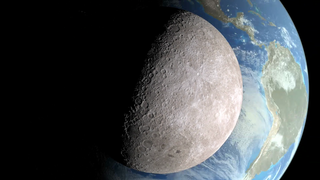
Earth
ID: 10816
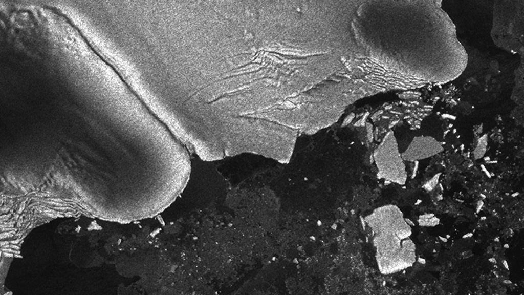
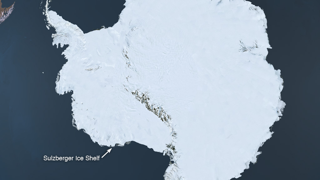
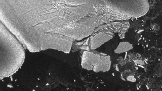
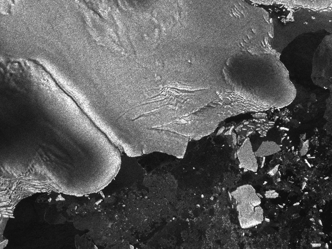
The magnitude 9.0 undersea earthquake that occurred off the coast of Japan on March 11, 2011 was one of the five most powerful earthquakes since the modern record began in 1900. A NASA-led team of scientists found another way to observe its might. By closely watching satellite imagery in the aftermath of the tsunami the earthquake created, scientists made the first direct observation of tsunami waves causing icebergs to break off an Antarctic ice shelf. Multiple icebergs broke off of the Sulzberger Ice Shelf, 8,000 miles from the earthquake's epicenter, after the sea swell from the tsunami reached the ice. The first swell took about 18 hours to reach the shelf and was only about a foot high by then. But it caused enough flex in the floating tongue of ice to let loose two large icebergs and several smaller ones that had a combined surface area of two Manhattan islands. Scientists had suspected this could happen, but in this case quickly and correctly predicted where the tsunami swell would hit and then began watching satellite imagery vigilantly. When NASA and European satellite images revealed what they had been looking for, tide data and other models helped confirm that only the tsunami could have been the cause.
How A Tsunami Creates An Iceberg 8,000 Miles Away
Related Story
For More Information
Story Credits
Producer:
Kayvon Sharghi (USRA)
Lead Scientist:
Kelly Brunt (Morgan State University)
Lead Writer:
Patrick Lynch (Wyle Information Systems)
Kayvon Sharghi (USRA)
Lead Scientist:
Kelly Brunt (Morgan State University)
Lead Writer:
Patrick Lynch (Wyle Information Systems)
Please give credit for this item to:
NASA's Goddard Space Flight Center
Radar footage courtesy of European Space Agency
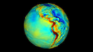
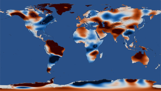
Tsunami visualization courtesy of NOAA
Third piece image courtesy of Kelly Burnt/Goddard Space Flight Center
NASA's Goddard Space Flight Center
Radar footage courtesy of European Space Agency
Tsunami visualization courtesy of NOAA
Third piece image courtesy of Kelly Burnt/Goddard Space Flight Center
Short URL to share this page:
https://svs.gsfc.nasa.gov/10816
Keywords:
NASA Science >> Earth
SVS >> App
https://svs.gsfc.nasa.gov/10816
Keywords:
NASA Science >> Earth
SVS >> App