SVS Tapes
Title: NASM 2002: (2 of 2)
Abstract: These Animations were used for the NASM presentation at the National Air and Space Museum. The Original animations were generated in HD.
Metadata date: 2002-10-04
Producer: Michael Starobin
Trt: 00:26:12:20
Audio: No Audio
-
*Please note: the SVS does not fulfill requests for copies of the tapes in our library. On some of our animation pages, there is a direct link to a video distribution service from which tapes, handled by the Public Affairs Office (PAO)/Goddard TV, including some of our animations may be ordered. General information on this service can be found here.
-

Looking Down at the Earth's Ocean Floor from Space
01:00:35:00 - 01:06:18:25 -
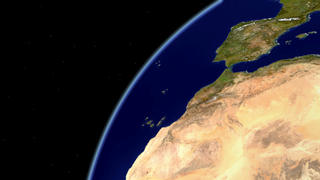
Looking Down at the Earth from Space
01:06:34:01 - 01:12:17:00 -

Looking at our World from Space
01:12:32:01 - 01:18:15:11 -
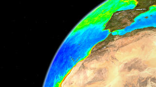
Looking Down at the Earth from Space with SeaWiFS False Color Oceans.
01:18:30:01 - 01:24:26:19
-

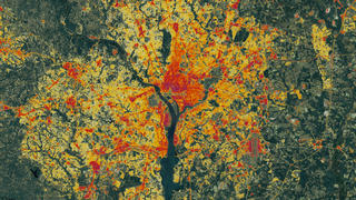
Impervious Data of the Washington, DC and Baltimore, Maryland Area
01:24:41:00 - 01:25:12:27 -
Impervious Data of the Washington, DC Area
01:25:28:01 - 01:26:00:08 -

Impervious Data of the Baltimore Area
01:26:15:00 - 01:26:47:20