SVS Tapes
Title: RADARSAT's Antarctica
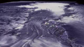
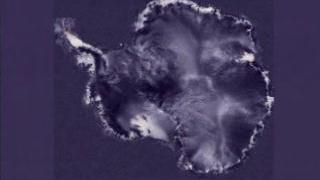
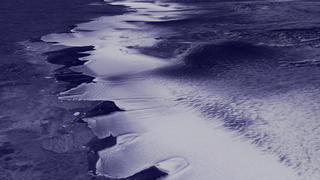
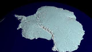
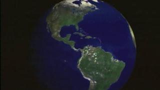
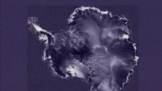
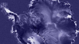
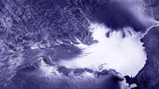
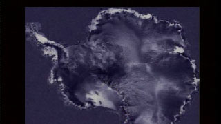
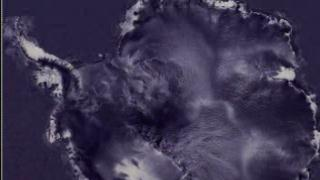
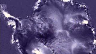
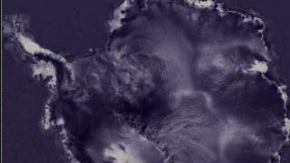
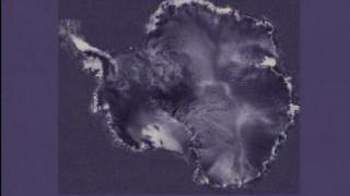
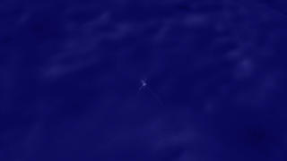
Abstract: For 18 days during the Southern Hemisphere spring of 1997, a NASA-launched Canadian satellite called RADARSAT collected pieces of a puzzle that will help scientists study the most remote and inaccessible part of the Earth --Antarctica. Scientists now have the puzzle pieces put together, forming the first high-resolution radar map of the mysterious frozen continent. With detail to the point of picking out a research bungalow on an iceberg, the new map has both answered scientists' questions about the icy continent, and left them scratching their heads about what to make of strange and fascinating features never seen before.
Metadata date: 1999-11-08
Producer: Wade Sisler, Michael Staribon
Trt: 00:49:59:00
Audio: No Audio
-
*Please note: the SVS does not fulfill requests for copies of the tapes in our library. On some of our animation pages, there is a direct link to a video distribution service from which tapes, handled by the Public Affairs Office (PAO)/Goddard TV, including some of our animations may be ordered. General information on this service can be found here.
-
Antarctica: Lambert Glacier Fly-over
None - None -
Antarctica: Fimbul Ice Shelf Preview
1:00:15:00 - 1:00:45:00 -
Antarctica: Fimbul Ice Shelf Fly-over
1:00:55:00 - 1:03:07:00 -
Antarctica: Prelude
1:03:17:00 - 1:04:02:00
-
Antarctica: RADARSAT Prelude
1:04:12:00 - 1:04:57:00 -
Antarctica: Continental Overview Preview
1:05:07:00 - 1:05:56:00 -
Antarctica: Continental Overview
1:06:06:00 - 1:13:47:00 -
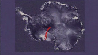
Antarctica: Amery Ice Shelf and Lambert Glacier fly-over
1:13:50:00 - 1:15:57:00
-
Antarctica: Larsen Pre-shot (without box)
1:17:10:00 - 1:17:51:00 -
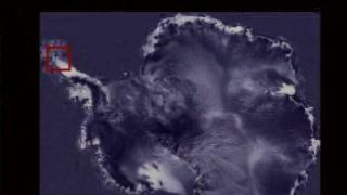
Antarctica: Larsen Pre-shot (with box)
1:18:00:00 - 1:18:41:00 -
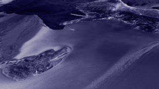
Antarctica: Dry Valleys
1:18:50:00 - 1:21:24:00 -
Antarctica: Lake Vostok
1:21:33:00 - 1:22:47:00
-
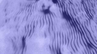
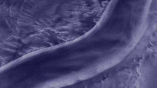
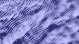
Antarctica: Snow Dunes
1:22:56:00 - 1:24:20:00 -
Antarctica: Continental Overview (with text)
1:24:29:00 - 1:32:13:00 -
Antarctica: Allen Hills Fly Over
1:32:25:00 - 1:34:59:00 -
Byrd's Flight Path
1:35:12:00 - 1:35:40:00
-
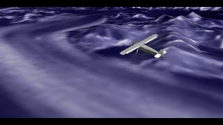
Byrd's Flight
1:35:46:00 - 1:37:33:00 -
East Antarctic Ice Stream Path
1:37:43:00 - 1:38:12:00 -
East Antarctic Ice Streams #1
1:38:21:00 - 1:42:03:00 -
East Antarctic Ice Streams #2
1:42:13:00 - 1:45:56:00
-
Prelude and South Pole
1:46:05:00 - 1:47:33:00 -
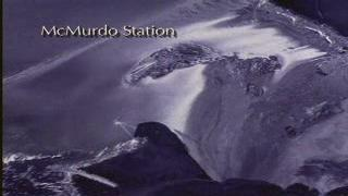
McMurdo Station, Mt. Erebus
1:47:42:00 - 1:49:07:00 -
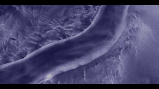
Another View of Snow Dunes
1:49:18:00 - 1:50:13:10