SVS Tapes
Title: Landsat Images 1999 (3 of 4)
Abstract: A visualization of Landsat Images, viewing various areas of the Earth.
Metadata date: 1999-04-09
Producer: Wade Sisler
Trt: 00:41:42:15
Audio: No Audio
-
*Please note: the SVS does not fulfill requests for copies of the tapes in our library. On some of our animation pages, there is a direct link to a video distribution service from which tapes, handled by the Public Affairs Office (PAO)/Goddard TV, including some of our animations may be ordered. General information on this service can be found here.
-
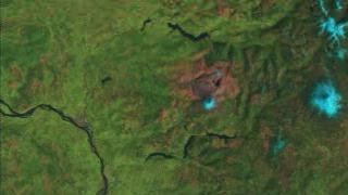
Mt. St. Helens (542), x 2 Exaggeration
1:00:20:00 - 1:02:04:21 -
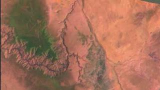
Grand Canyon (542) With No Exaggeration and Correct Lighting
1:02:15:00 - 1:04:51:16 -

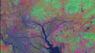
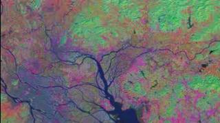
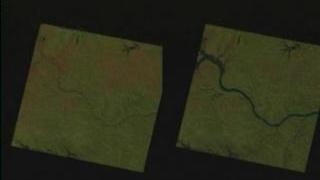
Pearl River, Region 1, Principal Component Analysis 621
1:05:02:00 - 1:05:36:06 -
Pearl River, Region 2, Principal Component Analysis 621
1:05:46:07 - 1:06:20:06
-
Pearl River, Region 3, Principal Component Analysis 621
1:06:30:07 - 1:07:04:06 -
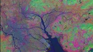
Pearl River, Region 4, Principal Component Analysis 621
1:07:14:07 - 1:07:48:23 -
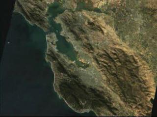
San Francisco Flyover in Natural Color (321), x 3 Exaggeration.
1:07:59:00 - 1:11:23:20 -
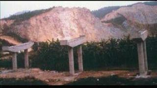
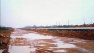
Ground Photographs from Southern China: Road Construction
1:11:34:00 - 1:11:44:00
-
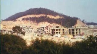
Ground Photographs from Southern China: Abandoned Project
1:11:54:00 - 1:12:04:00 -
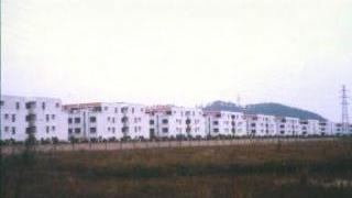
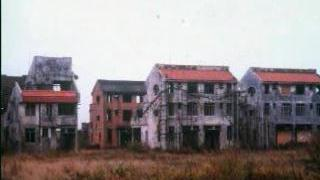
Ground Photographs from Southern China: Housing in Guangdong Province
1:12:14:00 - 1:12:24:00 -
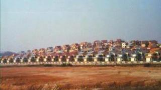
Ground Photographs from Southern China: New Housing Development
1:12:34:00 - 1:12:44:00 -
Ground Photographs from Southern China: Road Development in the Delta
1:12:54:00 - 1:13:04:00
-
Ground Photographs from Southern China: Suburban Housing Development
1:13:14:00 - 1:13:24:00 -
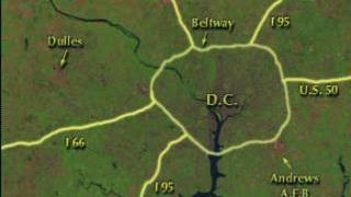
Growth of Washington D.C. Metro Area: Roadways Labeled
1:13:34:00 - 1:14:19:23 -

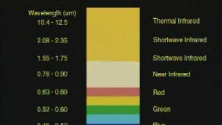
Atlanta in False Color Infrared (432)(b)
1:14:30:00 - 1:17:12:22 -

Atlanta in Natural Color (321)
1:17:23:00 - 1:20:03:13
-
Atlanta Flyby with Opening Labels (542)
1:20:13:00 - 1:22:54:16 -
Portland, Oregon in Natural Color, x 3 Exaggeration (321)
1:23:04:00 - 1:25:42:16 -
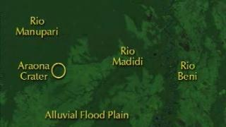
Araona Crater (Iturralde Structure) With Labels
1:25:52:00 - 1:26:35:00 -
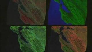
Split Screen View of San Francisco Bay: NDVI
1:26:45:00 - 1:30:07:05
-
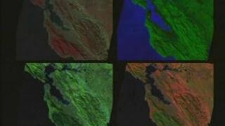
Split Screen View of San Francisco Bay: False Color IR
1:30:17:05 - 1:33:39:11 -

Atlanta Heat Island: Landsat Land Use Classification and Thermal IR Data
1:33:50:00 - 1:34:53:18 -
Flooding of the Missouri River. Before (Sept 1992) and during/after (Sept 1993)
1:35:04:00 - 1:36:28:10 -
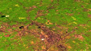
Atlanta Urban Growth from 1984 to 1998 (in Gray)
1:36:38:00 - 1:38:03:16
-
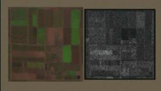
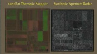
USDA Maricopa Farm: Landsat and SAR Data Comparison
1:38:13:00 - 1:38:55:07 -
San Francisco Onion Layers, zoom to Marin Heads, grow DEM (x 3 exag.)
1:39:05:00 - 1:41:08:15 -
USDA Maricopa Farm: Landsat and SAR Data Comparison (With Dates)
1:41:18:00 - 1:42:02:15