SVS Tapes
Title: Landsat Images 1999 (1 of 4)
Abstract: A visualization of Landsat Images, viewing various areas of the Earth.
Metadata date: 1999-04-09
Producer: Wade Sisler
Trt: 01:20:27:20
Audio: No Audio
-
*Please note: the SVS does not fulfill requests for copies of the tapes in our library. On some of our animation pages, there is a direct link to a video distribution service from which tapes, handled by the Public Affairs Office (PAO)/Goddard TV, including some of our animations may be ordered. General information on this service can be found here.
-

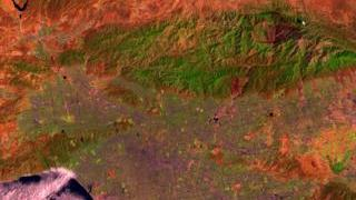
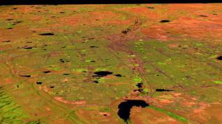
Mexico City: High Resolution Elevation Render With x4 Vertical Exaggeration
1:00:20:00 - 1:02:12:26 -

Fly up the Chesapeake Bay to Harrisburg, Pennsylvania
1:02:23:00 - 1:04:46:28 -

Flight along the Washington-Baltimore Corridor
1:05:00:00 - 1:07:36:23 -

Atlanta Flyby
1:07:47:00 - 1:10:22:25
-

Boston Flyby
1:10:32:00 - 1:12:56:19 -

Chicago Flyby
1:13:06:00 - 1:15:29:12 -

Dallas Flyby
1:15:39:00 - 1:18:01:17 -

Detroit Flyby
1:18:12:00 - 1:20:50:15
-
Los Angeles Flyby
1:21:00:00 - 1:23:37:12 -

Philadelphia Flyby
1:23:47:00 - 1:26:10:08 -

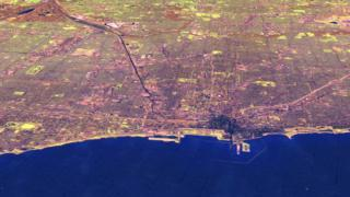
San Francisco Flyby: Channels 542
1:26:20:00 - 1:28:43:29 -

San Francisco Flyby: Channels 543
1:28:53:00 - 1:31:17:15
-

San Francisco Flyby: Channels 432
1:31:27:00 - 1:33:54:08 -

Miami/Fort Lauderdale Flyby
1:34:04:00 - 1:36:31:16 -

Minneapolis Flyby
1:36:41:00 - 1:39:05:26 -

Phoenix Flyby
1:39:16:00 - 1:41:44:10
-

San Diego Flyby
1:41:54:00 - 1:44:32:02 -

St. Louis Flyby
1:44:42:00 - 1:47:10:19 -

Fly Up the Hudson River
1:47:20:00 - 1:49:06:23 -

Rome Flyby
1:49:17:00 - 1:51:44:01
-

Beijing Flyby
1:51:54:00 - 1:54:21:06 -

Berlin Flyby
1:54:31:00 - 1:56:59:08 -

Paris Flyby
1:57:09:00 - 1:59:36:10 -
Denver Flyby
1:59:46:00 - 2:02:13:14
-

New York City Flyby
2:02:23:00 - 2:04:49:28 -

Sacramento Flyby
2:05:00:00 - 2:07:27:00 -

Portland Flyby
2:07:37:00 - 2:10:04:05 -
Chicago Flyby Along Lake Shore Drive
2:10:14:00 - 2:12:41:17
-

Dallas and Fort Worth Flyby
2:12:51:00 - 2:15:17:24 -

San Francisco Flyby: Channels 542
2:15:28:00 - 2:18:55:01 -

Mexico City Onion Layers, 542 with DEM, x 4 exaggeration.
2:19:05:00 - 2:19:52:14 -
Mexico City Onion Layers, 432 with DEM, x 4 exaggeration.
2:20:02:00 - 2:20:47:20