Next Tape
Goddard TV Video Tape: G1999-016
Movie
Title
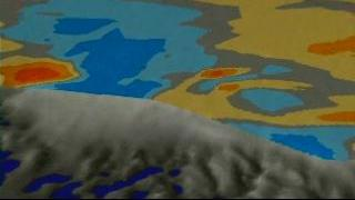
Greenland: East Coast Zoom-out With Ice Data
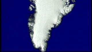
Greenland: East Coast Zoom-out Without Ice Data
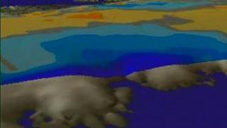
Greenland: East Coast Zoom-down With Ice Data
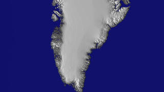
Greenland: East Coast Zoom-down without Ice Data
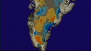
Greenland: Ice Change
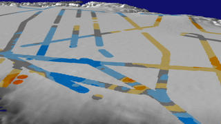
Greenland: Multiple Flight Paths Showing Ice Change
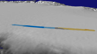
Greenland: Single Flight Path Showing Ice Change
Greenland: Raw Data Flight Paths Showing Ice Change
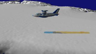
Greenland: Airplane Animation Revealing Ice Change