Earth
ID: 742
As Cape Hatteras Pamlico Sound becomes overpowered by rain, the rivers become choked with silt.
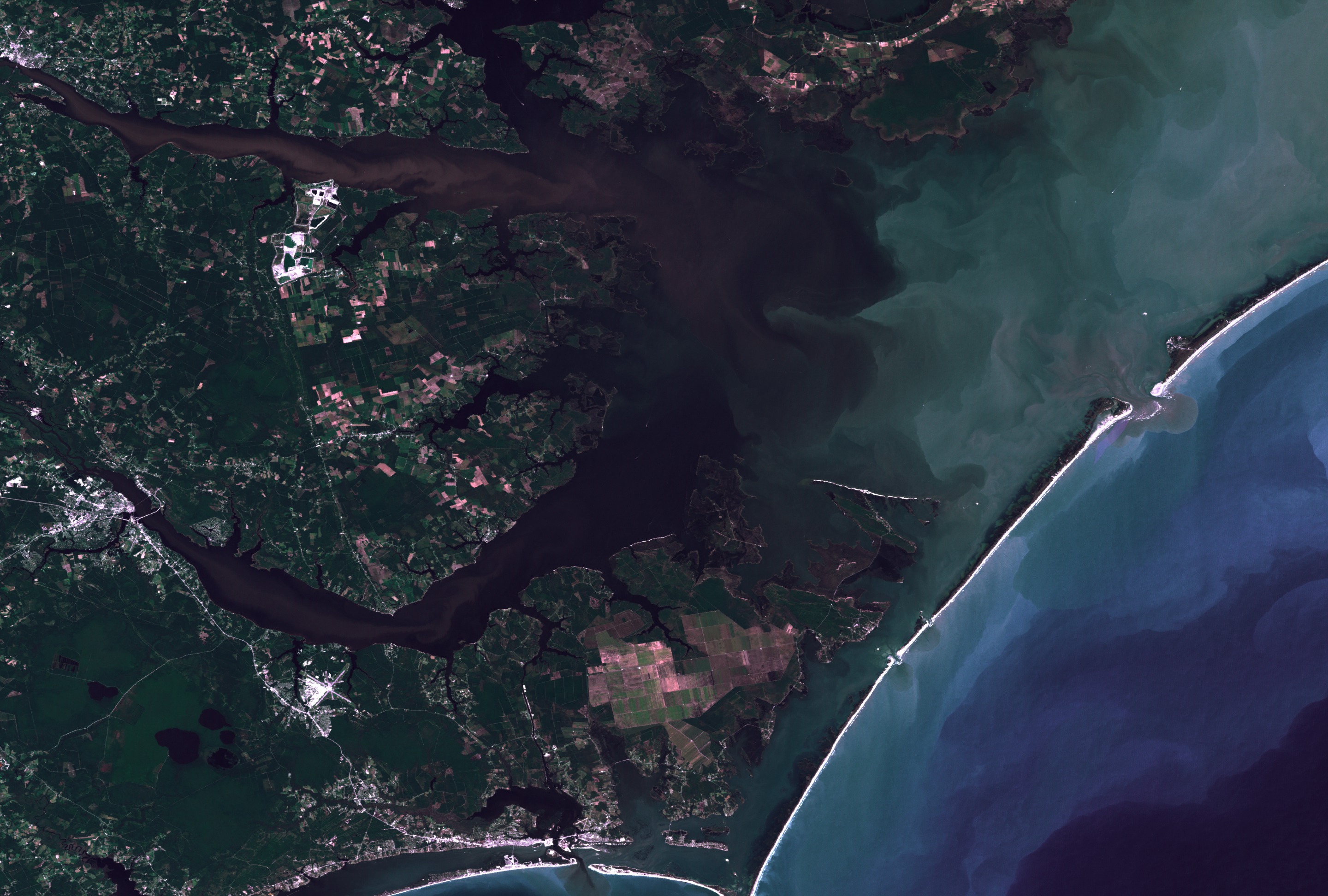
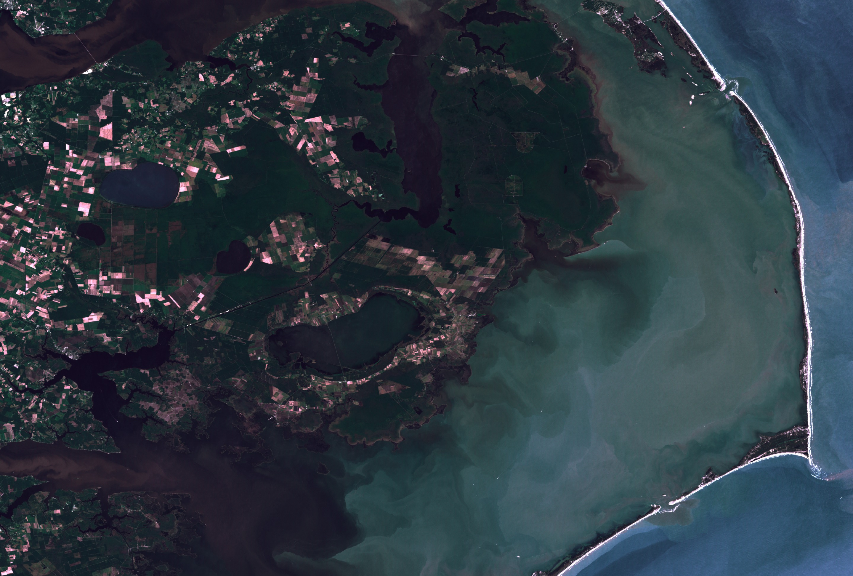
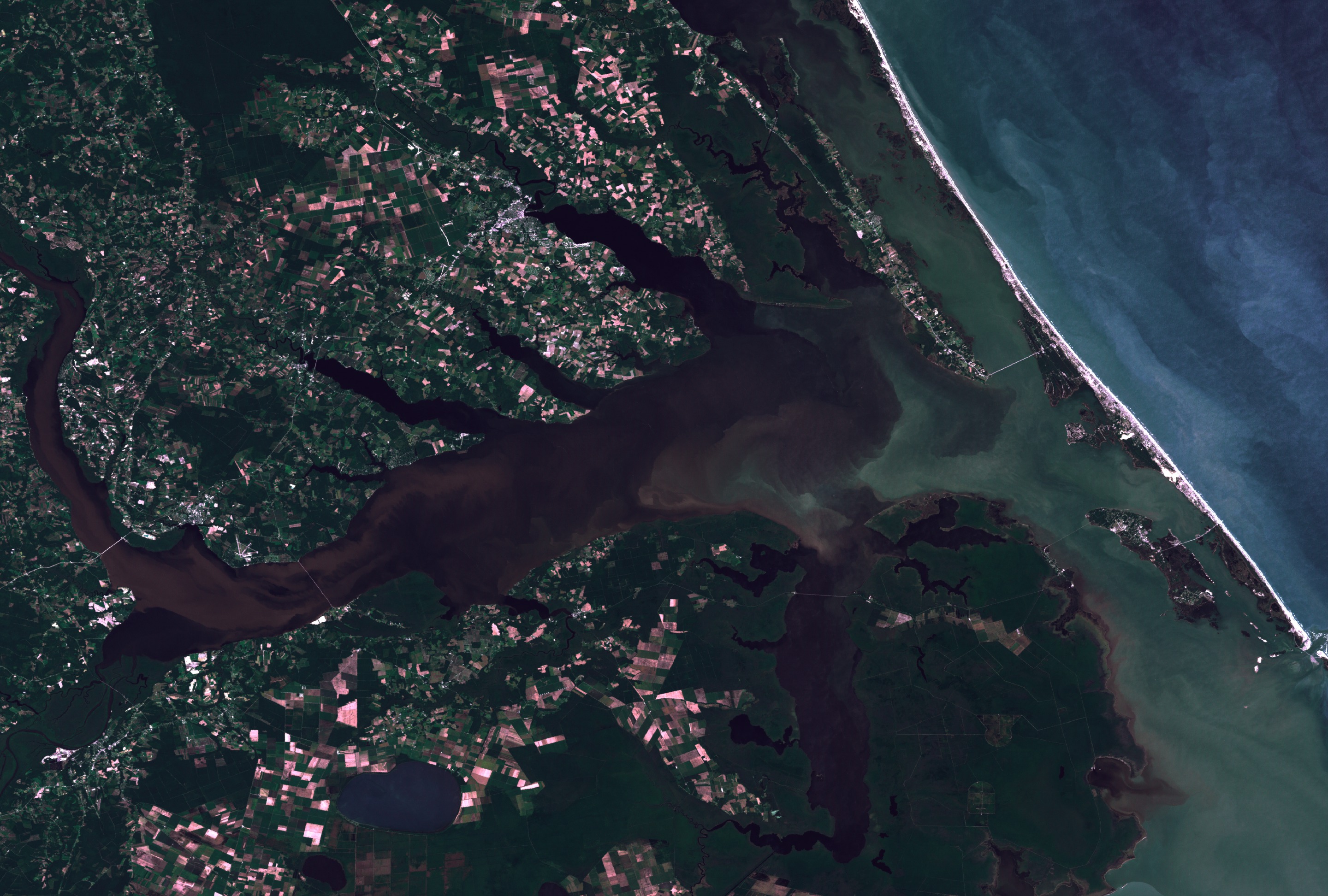

Landsat 7 Cape Hatteras Pamlico Sound
For More Information
Visualization Credits
Please give credit for this item to:
NASA/Goddard Space Flight Center Scientific Visualization Studio
NASA/Goddard Space Flight Center Scientific Visualization Studio
Short URL to share this page:
https://svs.gsfc.nasa.gov/742
Mission:
Landsat
Data Used:
Note: While we identify the data sets used in these visualizations, we do not store any further details nor the data sets themselves on our site.
This item is part of this series:
Floods
Keywords:
SVS >> Cape Hatteras
DLESE >> Hydrology
SVS >> Pamlico Sound
NASA Science >> Earth
https://svs.gsfc.nasa.gov/742
Mission:
Landsat
Data Used:
Landsat-7/ETM+
1999/10/27This item is part of this series:
Floods
Keywords:
SVS >> Cape Hatteras
DLESE >> Hydrology
SVS >> Pamlico Sound
NASA Science >> Earth


