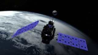
Global Precipitiation Measurement Core Satellite Instruments
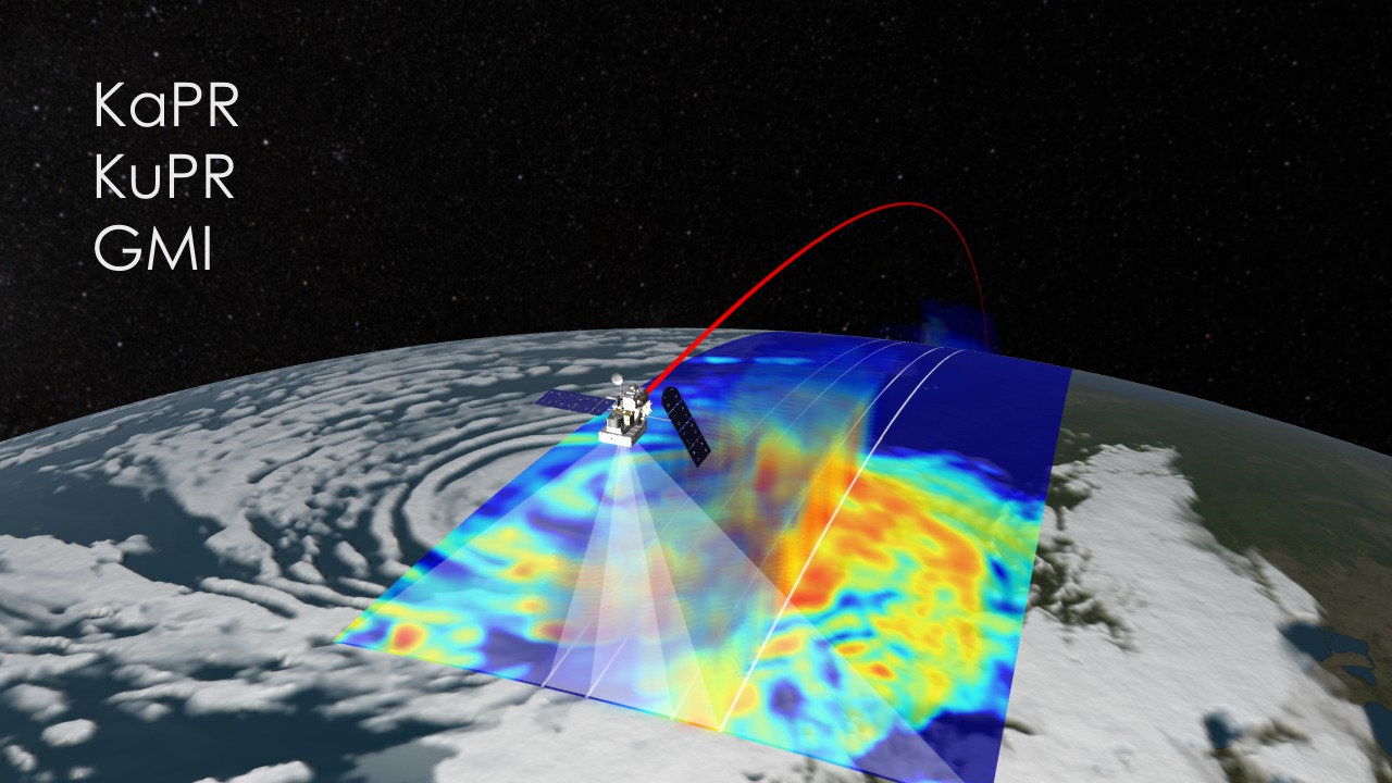
This animation shows the scanning capabilities of the GMI and DPR onboard the GPM Core satellite. Heavy rainfall is shown in red and light rainfall in blue. The DPR shows 3D precipitation in a midlatitude storm from two overlapping swaths. The Ka-band frequency scans across a region of 78 miles (125 kilometers) and is nested within the wider scan of the Ku-band frequency of 147 miles (245 kilometers). JAXA and Japan's National Institute of Information and Communications Technology (NICT) built the DPR. The GMI, shown as the flat precipitation values, constantly scans a region 550 miles (885 kilometers) across. The Ball Aerospace and Technology Corporation built the GMI under contract with NASA Goddard Space Flight Center.
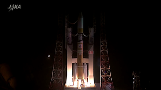
The GPM Core observatory is currently being built and tested at NASA's Goddard Space Flight Center in Greenbelt, Md. It is scheduled to launch from Tanegashima space center in Japan in early 2014.
Related
Visualization Credits
Ryan Fitzgibbons (USRA): Producer
Arthur Hou Ph.D. (NASA/GSFC): Scientist
Dalia B Kirschbaum (NASA/GSFC): Scientist
Gail Skofronick Jackson (NASA/GSFC): Scientist
NASA's Goddard Space Flight Center Scientific Visualization Studio
https://svs.gsfc.nasa.gov/4016
Mission:
Global Precipitation Measurement (GPM)
Data Used:
GEOS Atmospheric Model
Model - NASA GMAOKeywords:
SVS >> GPM
SVS >> HDTV
SVS >> Satellite
GCMD >> Earth Science >> Atmosphere >> Precipitation
GCMD >> Earth Science >> Spectral/Engineering >> Radar
SVS >> Satellite Orbit
NASA Science >> Earth
GCMD keywords can be found on the Internet with the following citation: Olsen, L.M., G. Major, K. Shein, J. Scialdone, S. Ritz, T. Stevens, M. Morahan, A. Aleman, R. Vogel, S. Leicester, H. Weir, M. Meaux, S. Grebas, C.Solomon, M. Holland, T. Northcutt, R. A. Restrepo, R. Bilodeau, 2013. NASA/Global Change Master Directory (GCMD) Earth Science Keywords. Version 8.0.0.0.0


