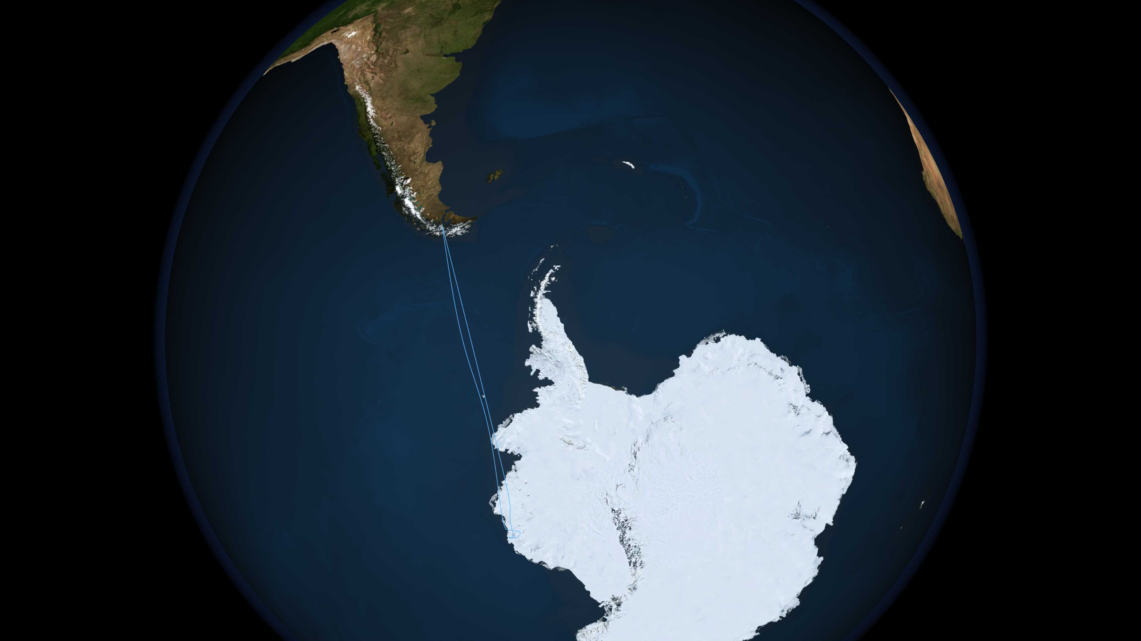
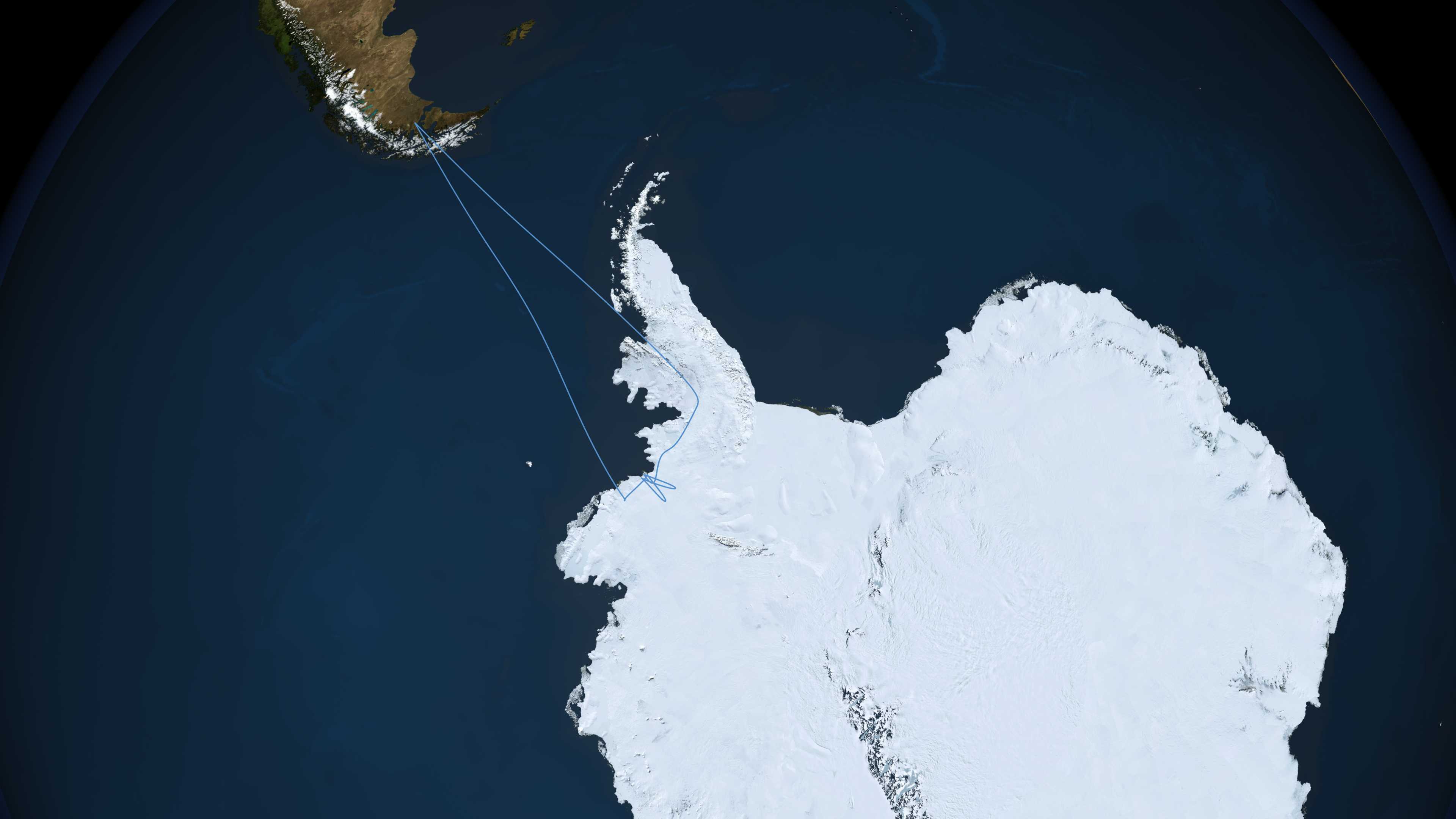
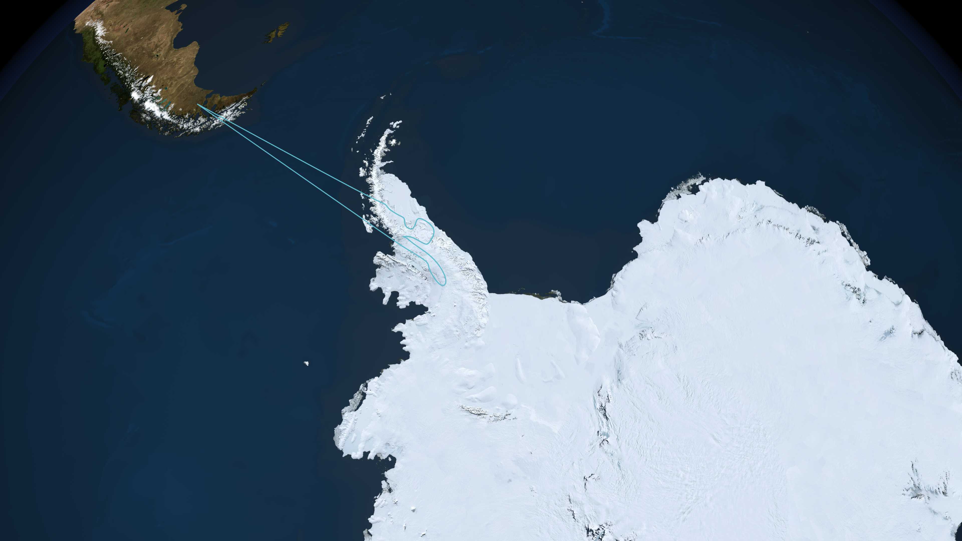
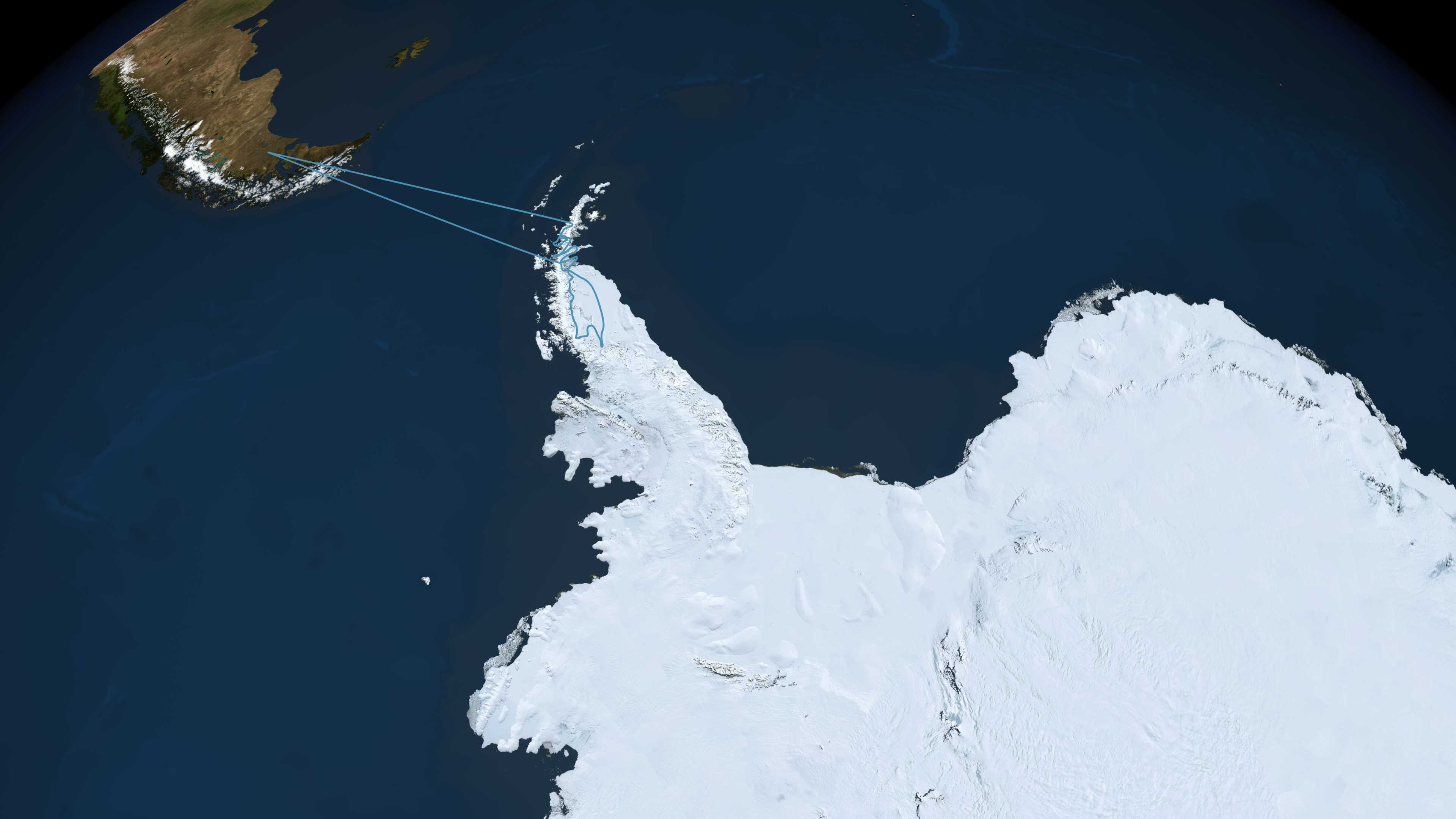
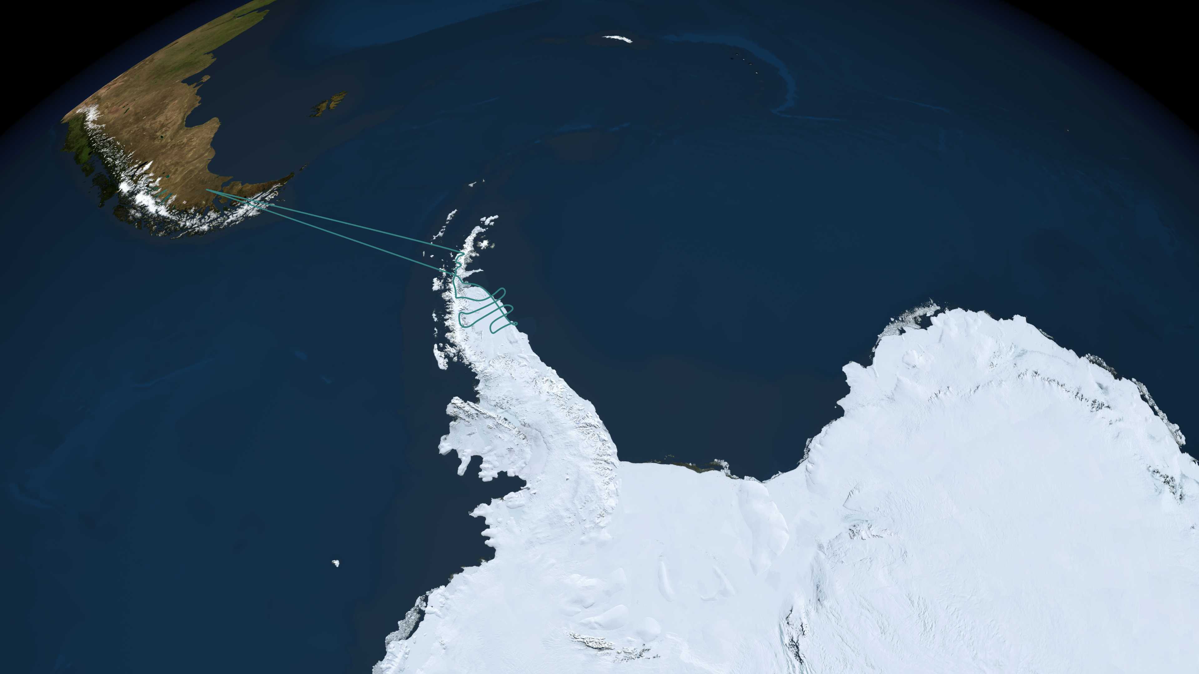
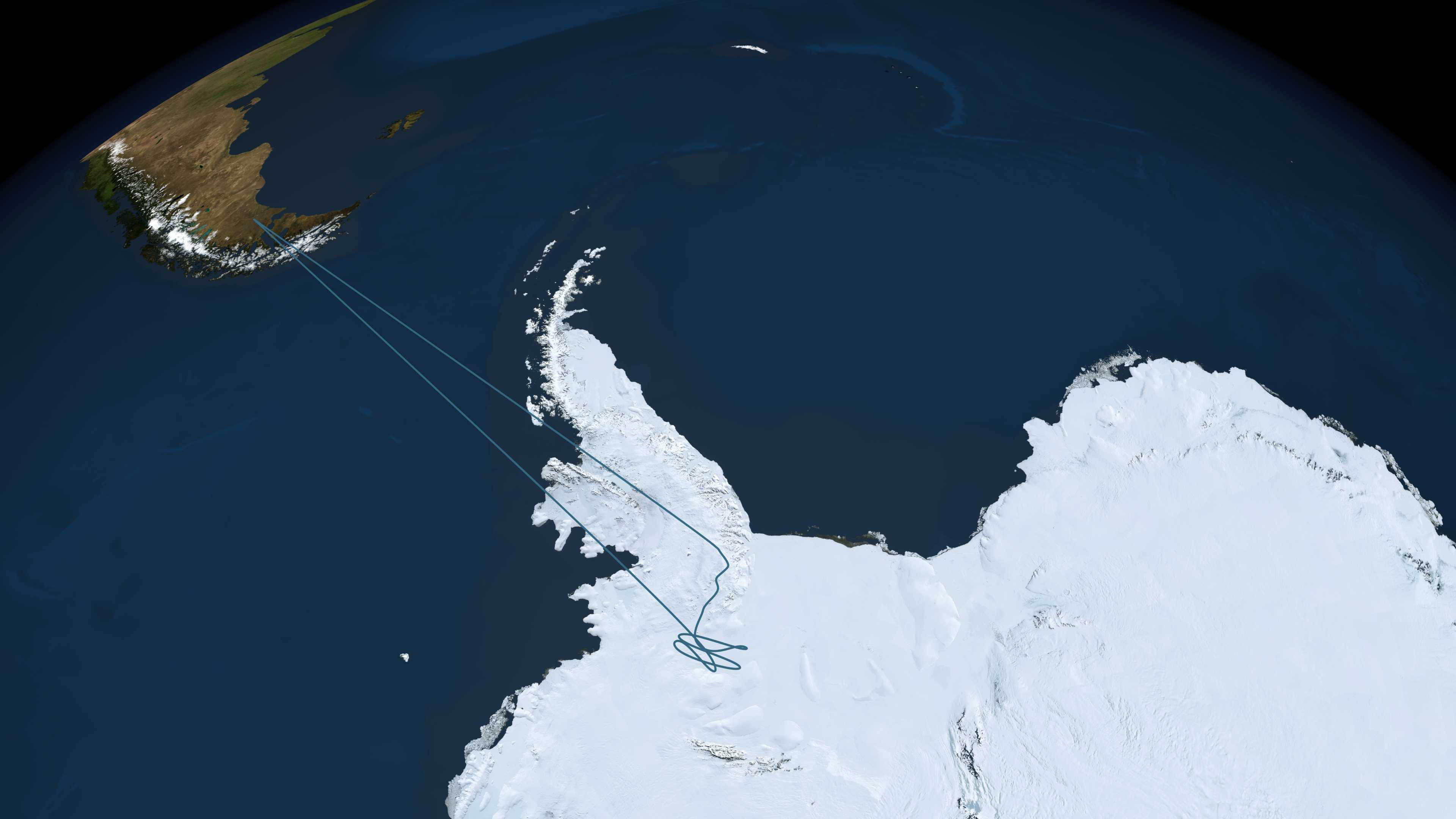
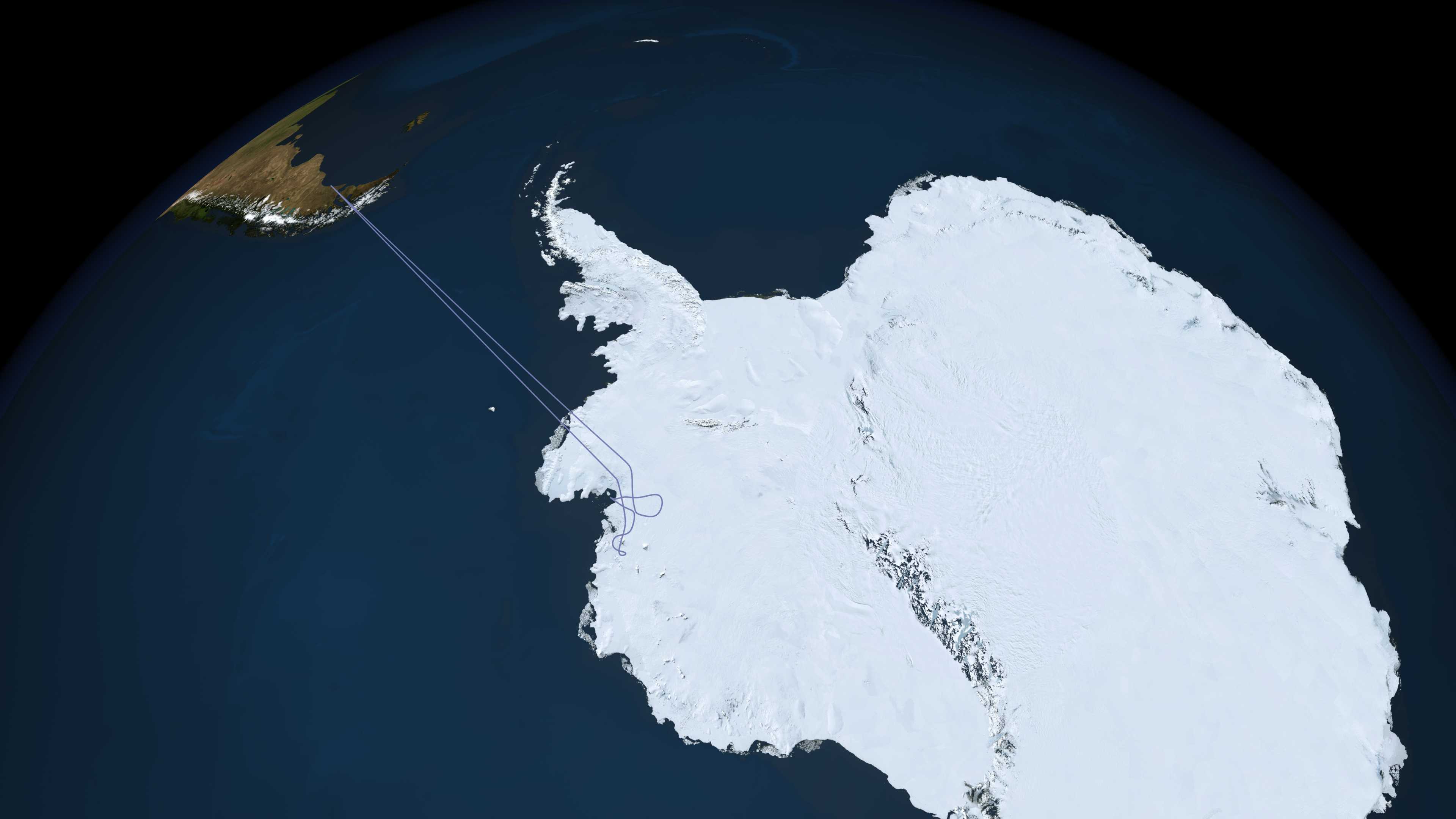
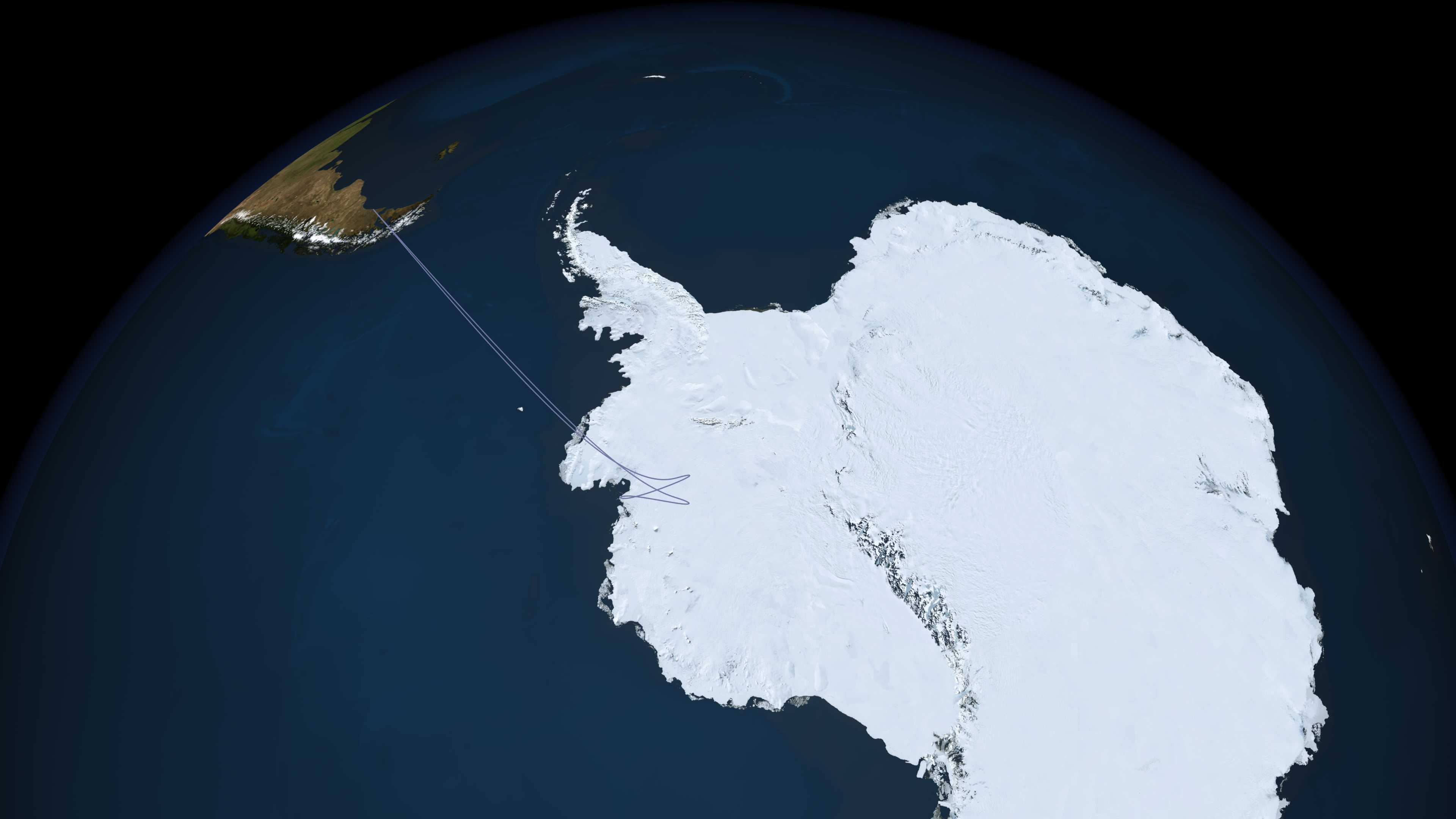
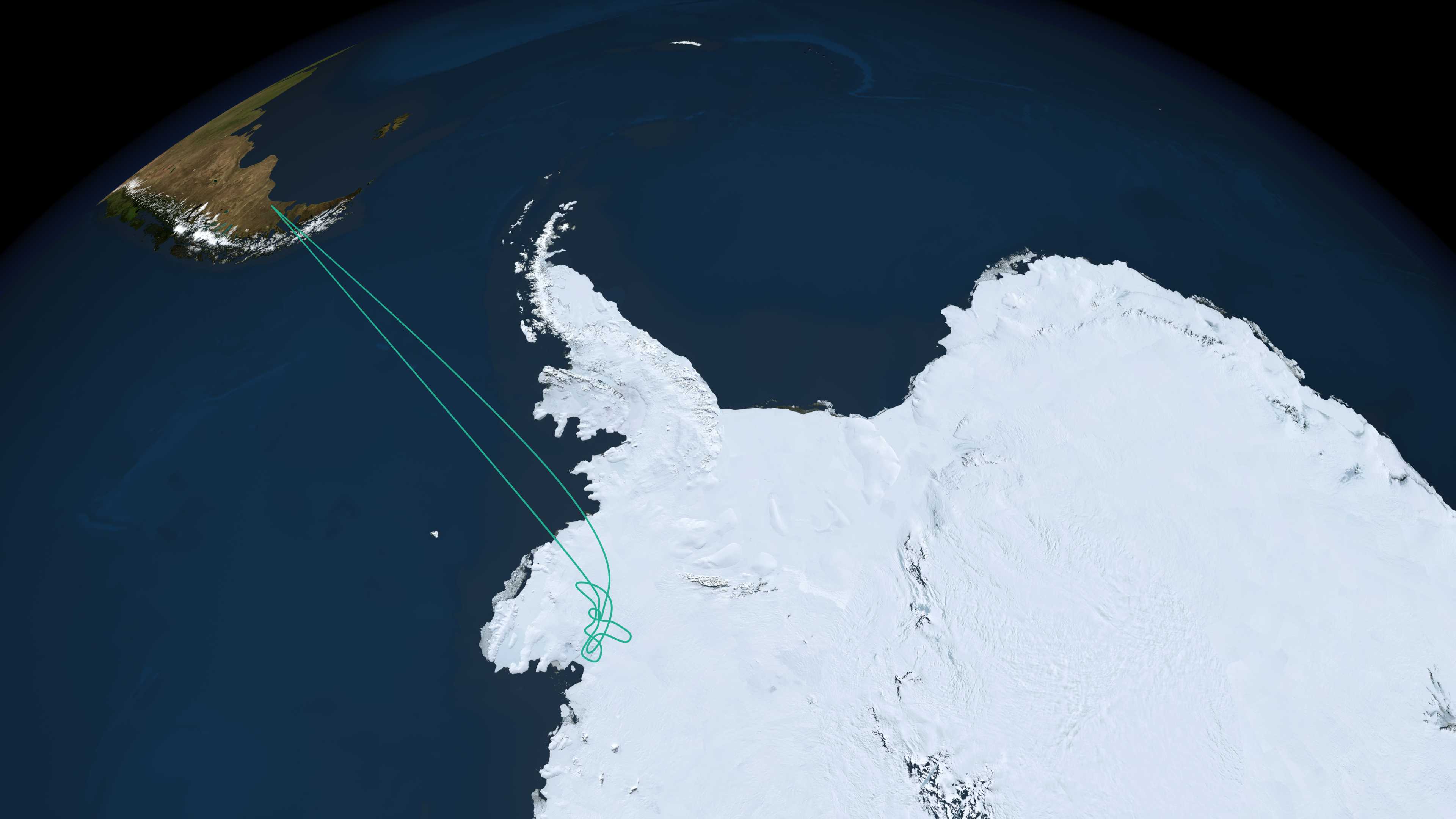
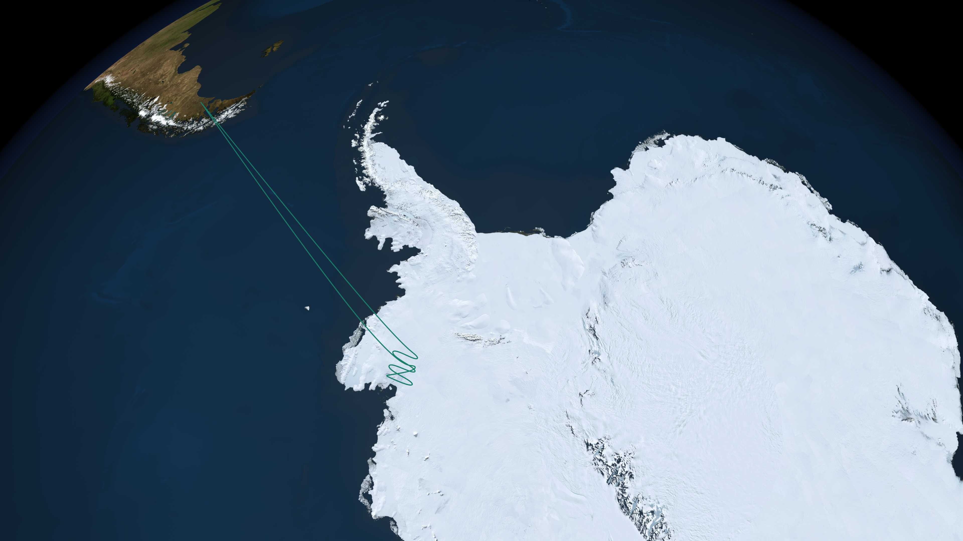
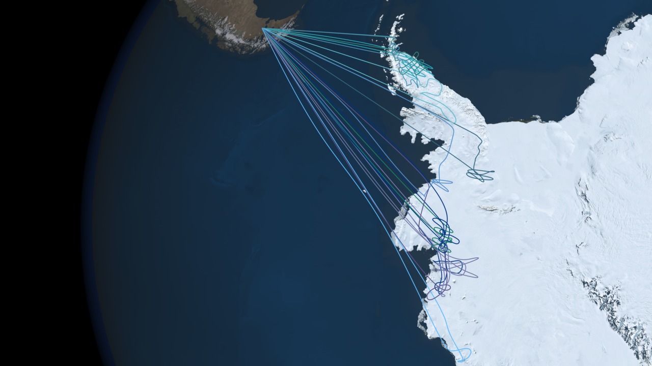
Operation IceBridge Flight Paths - Antarctica Fall 2009 Campaign
Operation Ice Bridge is a six-year campaign of annual flights to each of Earth's polar regions. The first flights in March and April carried researchers over Greenland and the Arctic Ocean. This fall's Antarctic campaign, led by principal investigator Seelye Martin of the University of Washington, will begin the first sustained airborne research effort of its kind over the continent. Data collected by researchers will help scientists bridge the gap between NASA's Ice, Cloud and Land Elevation Satellite (ICESat) — which is operating the last of its three lasers — and ICESat-II, scheduled to launch in 2014.
The Ice Bridge flights will help scientists maintain the record of changes to sea ice and ice sheets that have been collected since 2003 by ICESat. The flights will lack the continent-wide coverage that can be achieved by satellite, so researchers carefully select key target locations. But the flights will also turn up new information not possible from orbit, such as the shape of the terrain below the ice.
Six flights are scheduled along Antarctica's peninsula, one along the Getz Ice Shelf, two over the Pine Island Glacier, and two others along the Amundsen coast to include the Thwaites, Smith, and Kohler glaciers.


Visualization Credits
Stuart A. Snodgrass (HTSI): Video Editor
Jefferson Beck (UMBC): Producer
Laura Motel (UMBC): Producer
Tom Wagner (NASA): Scientist
John Sonntag (EGG): Scientist
NASA/Goddard Space Flight Center Scientific Visualization Studio.
https://svs.gsfc.nasa.gov/3647
Missions:
Landsat
Operation IceBridge
Terra
Data Used:
Landsat-7/ETM+/Band Combination 3, 2, 1
Landsat-7/ETM+/Landsat Image Mosaic of Antarctica also referred to as: LIMA
Mosaic - NASA/GSFC, British Antarctic Survey, USGS EROS Data CenterTerra and Aqua/MODIS/MODIS Mosaic of Antarctica (MOA) Image Map also referred to as: MOA
Mosaic - National Snow and Ice Data Center (NSIDC) and the University of New HampshireOperation Ice Bridge Flight Paths
This item is part of these series:
Landsat Image Mosaic of Antarctica
Operation IceBridge
Keywords:
SVS >> HDTV
GCMD >> Earth Science >> Cryosphere >> Glaciers/Ice Sheets
GCMD >> Earth Science >> Cryosphere >> Glaciers/Ice Sheets >> Glacier Elevation/Ice Sheet Elevation
GCMD >> Earth Science >> Cryosphere >> Glaciers/Ice Sheets >> Glacier Topography/Ice Sheet Topography
GCMD >> Location >> Antarctica
SVS >> Exploration
SVS >> For Educators
NASA Science >> Earth
GCMD keywords can be found on the Internet with the following citation: Olsen, L.M., G. Major, K. Shein, J. Scialdone, S. Ritz, T. Stevens, M. Morahan, A. Aleman, R. Vogel, S. Leicester, H. Weir, M. Meaux, S. Grebas, C.Solomon, M. Holland, T. Northcutt, R. A. Restrepo, R. Bilodeau, 2013. NASA/Global Change Master Directory (GCMD) Earth Science Keywords. Version 8.0.0.0.0


