Earth
ID: 2777
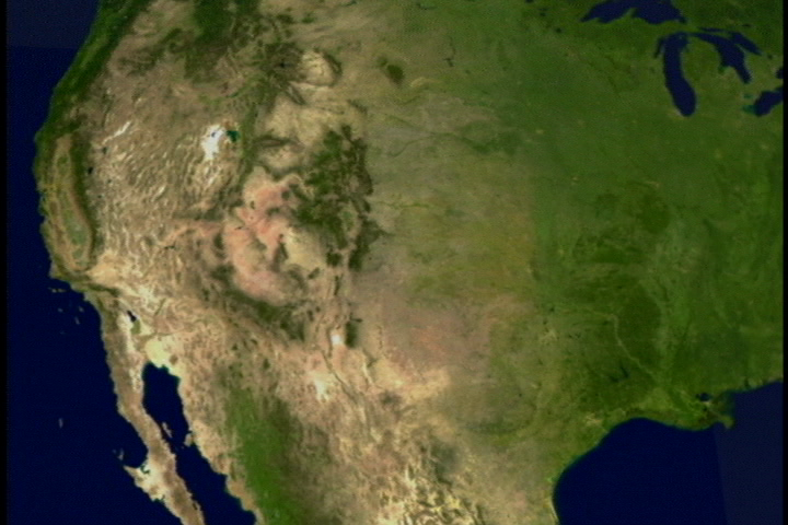
Lake Mead reservoir is nestled between Arizona and Nevada and runs up to the Hoover Dam. The reservoir stores Colorado River water and supplies it to farms, homes and business in Southern Nevada, Arizona, southern California and northern Mexico. Scientists at NASA are releasing dramatic pictures of the dwindling water supplies in the drought-stricken western United States. According to the Bureau of Reclamation, the Colorado Basin is in its fourth year of drought and computer models project water levels will go down another 15 to 20 feet (4.6 to 6.1 m) by next year. Despite low water levels, The National Park Service says there is still plenty of water for recreation. The Landsat 7 satellite captured images of Lake Mead May 2000, and May 2003. The 2003 image clearly shows a shrinking lake.


Lake Mead Shrinks!
Visualization Credits
Stuart A. Snodgrass (GST): Lead Animator
Marte Newcombe (GST): Animator
Darrel Williams (NASA/GSFC): Scientist
Marte Newcombe (GST): Animator
Darrel Williams (NASA/GSFC): Scientist
Please give credit for this item to:
NASA/Goddard Space Flight Center Scientific Visualization Studio
NASA/Goddard Space Flight Center Scientific Visualization Studio
Short URL to share this page:
https://svs.gsfc.nasa.gov/2777
Mission:
Landsat
Data Used:
Note: While we identify the data sets used in these visualizations, we do not store any further details nor the data sets themselves on our site.
Keywords:
SVS >> Drought
DLESE >> Hydrology
DLESE >> Natural hazards
NASA Science >> Earth
https://svs.gsfc.nasa.gov/2777
Mission:
Landsat
Data Used:
Landsat-7/ETM+
2000, 2003Keywords:
SVS >> Drought
DLESE >> Hydrology
DLESE >> Natural hazards
NASA Science >> Earth


