Earth
ID: 2566
This image shows the 2001 population distribution estimate made by the US Census. This visualization was created in support of a story describing how NASA is assisting the CDC and EPA in tracking the spread of West Nile Virus.

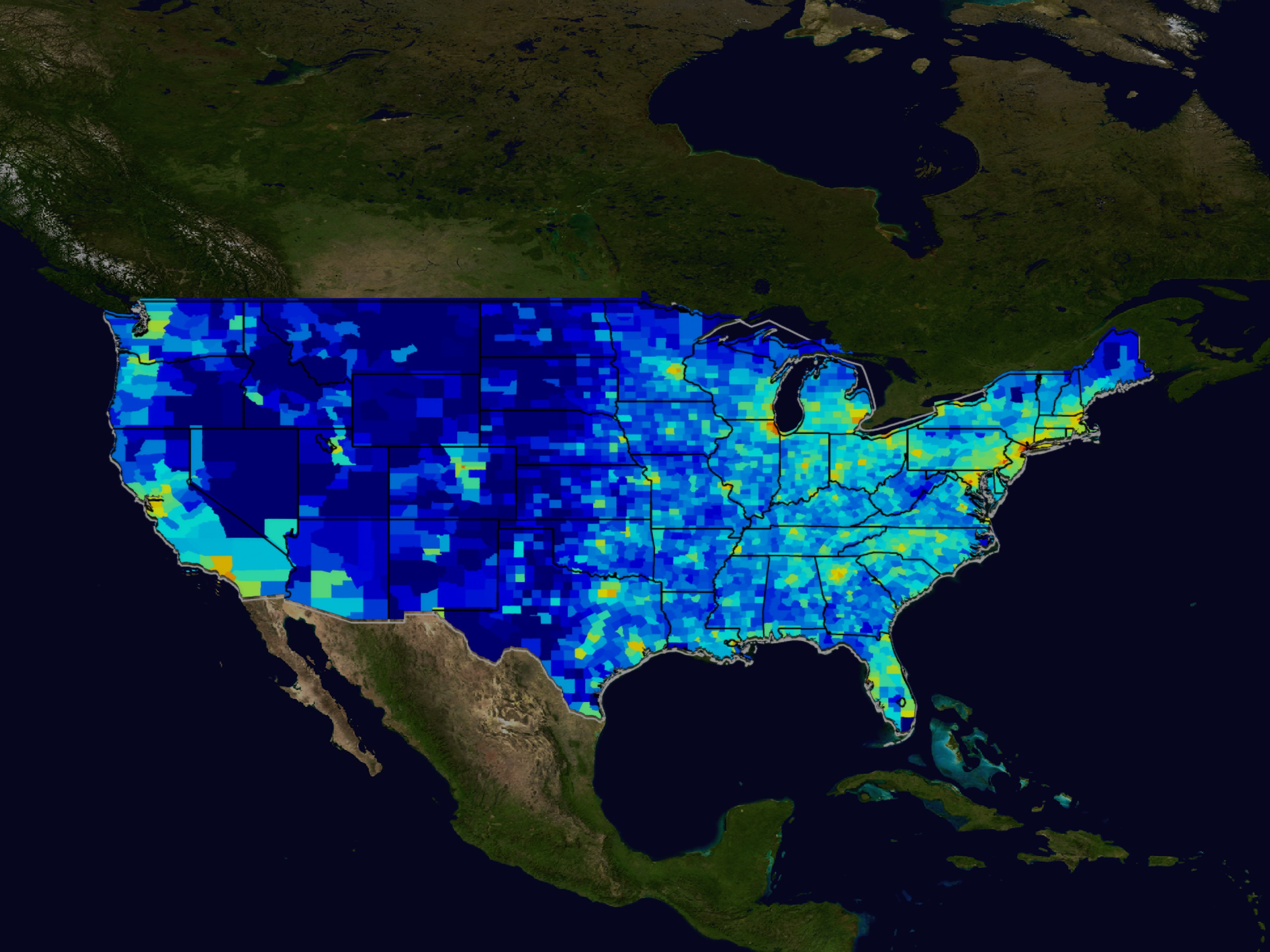
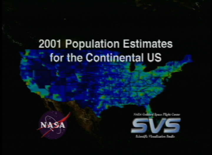
Continental United States Population Map
Visualization Credits
Greg Shirah (NASA/GSFC): Lead Animator
Horace Mitchell (NASA/GSFC): Animator
David Rogers (Oxford University): Scientist
Bob Venezia (NASA/HQ): Scientist
Horace Mitchell (NASA/GSFC): Animator
David Rogers (Oxford University): Scientist
Bob Venezia (NASA/HQ): Scientist
Please give credit for this item to:
NASA/Goddard Space Flight Center Scientific Visualization Studio
NASA/Goddard Space Flight Center Scientific Visualization Studio
Short URL to share this page:
https://svs.gsfc.nasa.gov/2566
Data Used:
Note: While we identify the data sets used in these visualizations, we do not store any further details nor the data sets themselves on our site.
This item is part of this series:
West Nile Virus
Goddard TV Tape:
G2002-077
Keywords:
SVS >> Census
DLESE >> Human geography
GCMD >> Earth Science >> Human Dimensions >> Population
NASA Science >> Earth
GCMD keywords can be found on the Internet with the following citation: Olsen, L.M., G. Major, K. Shein, J. Scialdone, S. Ritz, T. Stevens, M. Morahan, A. Aleman, R. Vogel, S. Leicester, H. Weir, M. Meaux, S. Grebas, C.Solomon, M. Holland, T. Northcutt, R. A. Restrepo, R. Bilodeau, 2013. NASA/Global Change Master Directory (GCMD) Earth Science Keywords. Version 8.0.0.0.0
https://svs.gsfc.nasa.gov/2566
Data Used:
Census 2001 population estimates by county
2000 through 2001This item is part of this series:
West Nile Virus
Goddard TV Tape:
G2002-077
Keywords:
SVS >> Census
DLESE >> Human geography
GCMD >> Earth Science >> Human Dimensions >> Population
NASA Science >> Earth
GCMD keywords can be found on the Internet with the following citation: Olsen, L.M., G. Major, K. Shein, J. Scialdone, S. Ritz, T. Stevens, M. Morahan, A. Aleman, R. Vogel, S. Leicester, H. Weir, M. Meaux, S. Grebas, C.Solomon, M. Holland, T. Northcutt, R. A. Restrepo, R. Bilodeau, 2013. NASA/Global Change Master Directory (GCMD) Earth Science Keywords. Version 8.0.0.0.0


