Earth
ID: 20055
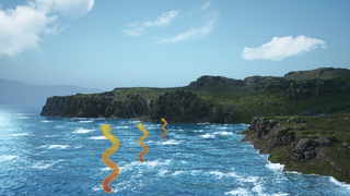
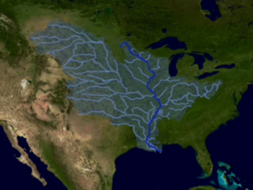
This animation illustrates how water flows from the middle of the United States down to the Mississippi River. Much of the nutrients, fertilizers and pollution that impact the health of the Mississippi River and Gulf of Mexico originate far up stream This sequence begins with a NASA satellite image of the United States. Then, the sequence highlights the Mississippi River. The sequence shows all the tributaries that feed into the Mississippi River. From there the animation expands to the whole drainage basin, everything between the Rockies and Appalachian Mountains drains through the Mississippi River. The concept of a watershed demonstates how human activities far from the ocean can have dramatic impact on life in the sea.
Mississippi River Watershed
Animation Credits
Susan Twardy (HTSI): Lead Animator
Gene Feldman (NASA/GSFC): Scientist
Rani Chohan (NASA/GSFC): Writer
Gene Feldman (NASA/GSFC): Scientist
Rani Chohan (NASA/GSFC): Writer
Please give credit for this item to:
NASA/Goddard Space Flight Center Conceptual Image Lab
NASA/Goddard Space Flight Center Conceptual Image Lab
Short URL to share this page:
https://svs.gsfc.nasa.gov/20055
Keywords:
SVS >> Mississippi River
SVS >> Watershed
GCMD >> Location >> Mississippi
NASA Science >> Earth
GCMD keywords can be found on the Internet with the following citation: Olsen, L.M., G. Major, K. Shein, J. Scialdone, S. Ritz, T. Stevens, M. Morahan, A. Aleman, R. Vogel, S. Leicester, H. Weir, M. Meaux, S. Grebas, C.Solomon, M. Holland, T. Northcutt, R. A. Restrepo, R. Bilodeau, 2013. NASA/Global Change Master Directory (GCMD) Earth Science Keywords. Version 8.0.0.0.0