Earth
ID: 11364

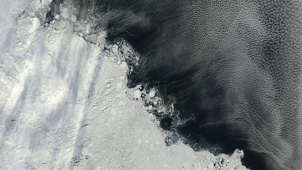
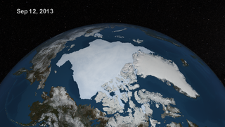
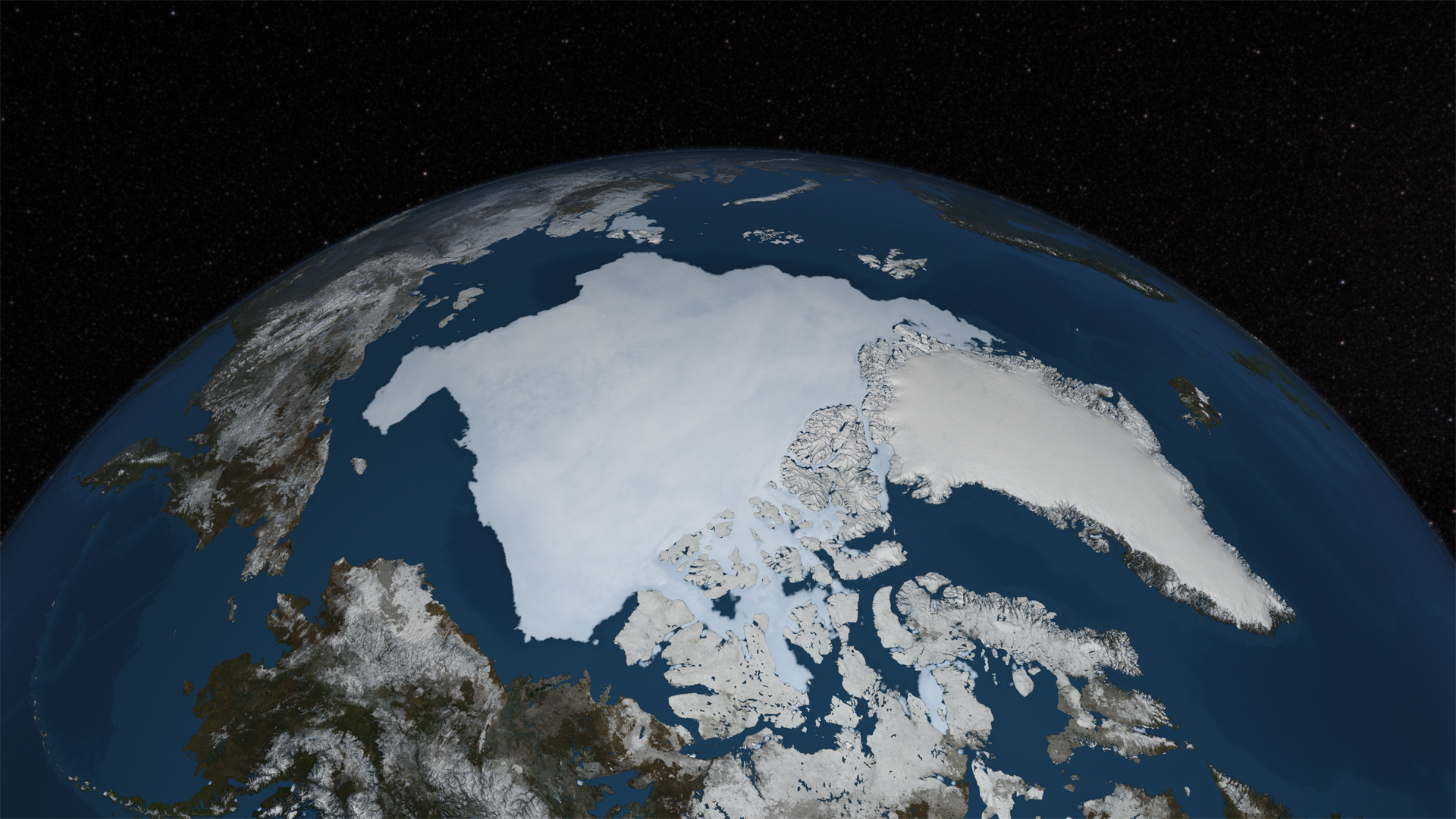
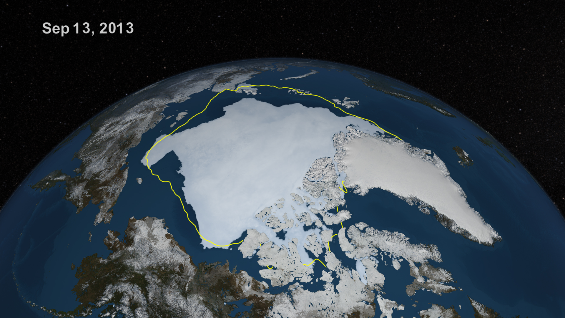
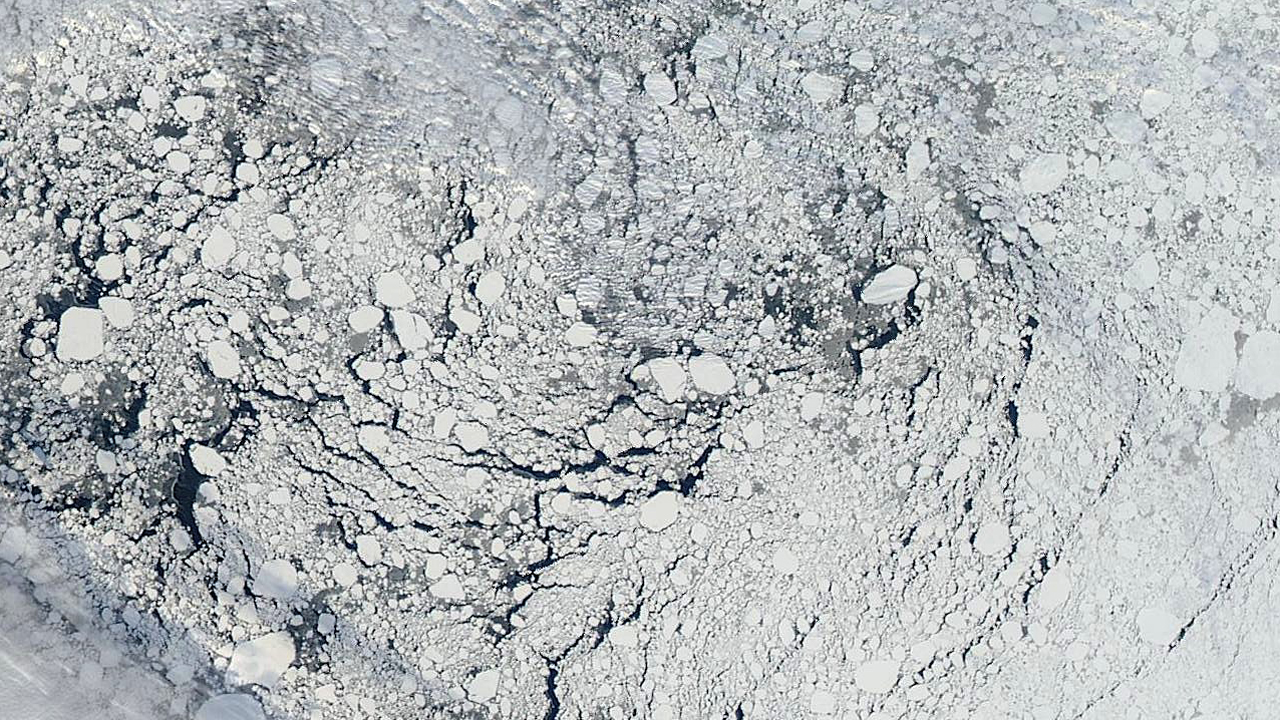
Since 1979, satellites have continuously monitored the ice that covers the Arctic Ocean. This space-based view allows scientists to measure the extent of the sea ice and track year-round changes in its size. On September 13, 2013, Arctic sea ice reached its annual minimum extent, covering 1.97 million square miles, or about half the total area of the United States. This is the sixth lowest extent on record, measuring 432,000 square miles less than the 30-year average calculated from 1981-2010. Sea ice forms in the Arctic when air and ocean temperatures are sufficiently cold for saltwater to freeze. As a result, growth takes place during the fall and winter months while melting occurs in spring and summer. Watch the video to see a visualization that shows changes to Arctic sea ice leading up to this year's minimum extent.


Arctic Retreat
Related Story
For More Information
Story Credits
Visualizers/Animators:
Cindy Starr (Global Science and Technology, Inc.)
Alex Kekesi (Global Science and Technology, Inc.)
Producer:
Jefferson Beck (USRA)
Lead Scientist:
Josefino Comiso (NASA/GSFC)
Lead Writer:
Kayvon Sharghi (USRA)
Cindy Starr (Global Science and Technology, Inc.)
Alex Kekesi (Global Science and Technology, Inc.)
Producer:
Jefferson Beck (USRA)
Lead Scientist:
Josefino Comiso (NASA/GSFC)
Lead Writer:
Kayvon Sharghi (USRA)
Please give credit for this item to:
NASA's Goddard Space Flight Center
Sea ice images courtesy of NASA Worldview
NASA's Goddard Space Flight Center
Sea ice images courtesy of NASA Worldview
Short URL to share this page:
https://svs.gsfc.nasa.gov/11364
Keywords:
SVS >> App
NASA Science >> Earth
https://svs.gsfc.nasa.gov/11364
Keywords:
SVS >> App
NASA Science >> Earth


