Earth
ID: 11143
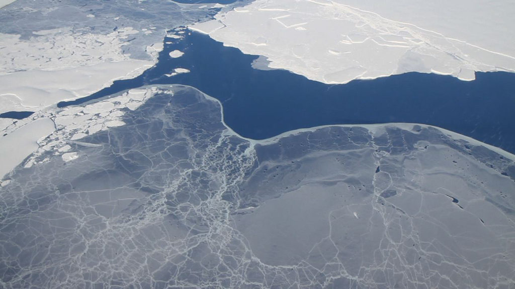
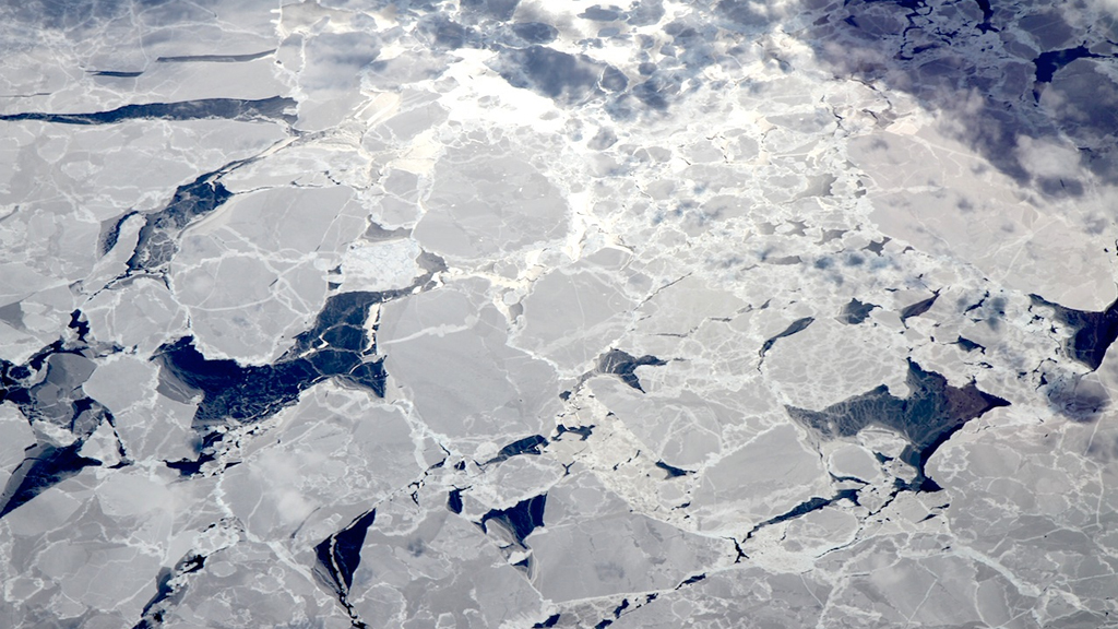
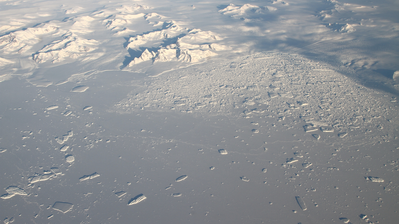
Flying long, aerial transects over the center of a sea ice pack rendered nearly featureless by snow can get a bit monotonous. But when NASA's Operation IceBridge aircraft travels along the varied margins of the ice, even seasoned researchers take a break from monitoring their instruments to steal a quick view of the icescape below. With its radar and laser data, Operation IceBridge is working to extend the long-term record of how ice at the poles is changing from year to year. During spring in Antarctica, the environment constantly shapes the sea ice that surrounds the continent. Ice thaws back into the water when temperatures warm, freezes into new layers when cold, and splinters, crashes and rafts on top of itself when pushed by winds and ocean currents. Watch the video to explore the different types of sea ice seen by Operation IceBridge during its 2012 Antarctic campaign.


Sea Ice Atlas
Related Story
Story Credits
Narrator:
Jefferson Beck (USRA)
Producer:
Jefferson Beck (USRA)
Lead Scientist:
Michael Studinger (NASA/GSFC)
Lead Writer:
Jefferson Beck (USRA)
Jefferson Beck (USRA)
Producer:
Jefferson Beck (USRA)
Lead Scientist:
Michael Studinger (NASA/GSFC)
Lead Writer:
Jefferson Beck (USRA)
Please give credit for this item to:
NASA's Goddard Space Flight Center
Images and footage courtesy of NASA/GSFC/Jefferson Beck
NASA's Goddard Space Flight Center
Images and footage courtesy of NASA/GSFC/Jefferson Beck
Short URL to share this page:
https://svs.gsfc.nasa.gov/11143
Keywords:
DLESE >> Narrated
SVS >> App
NASA Science >> Earth
https://svs.gsfc.nasa.gov/11143
Keywords:
DLESE >> Narrated
SVS >> App
NASA Science >> Earth


