Earth
ID: 10950
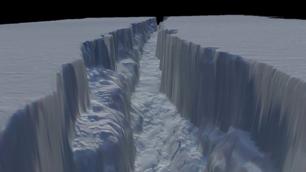
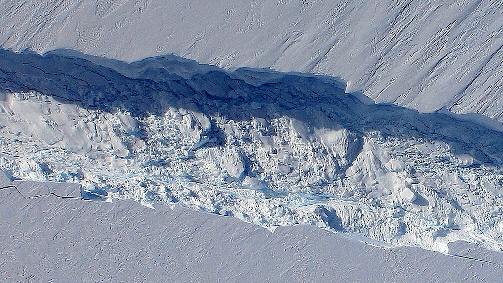
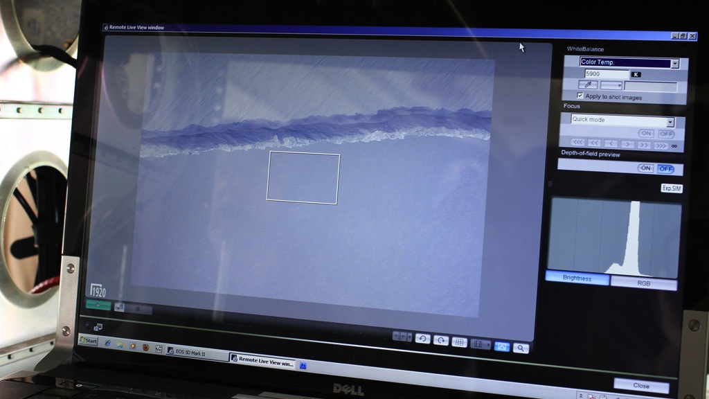
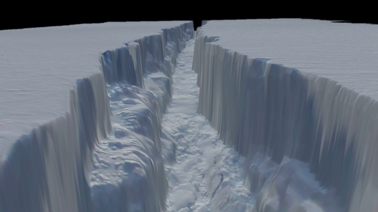
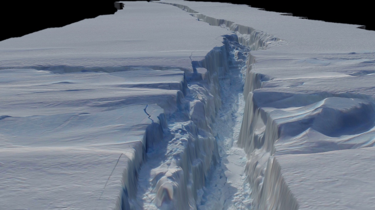
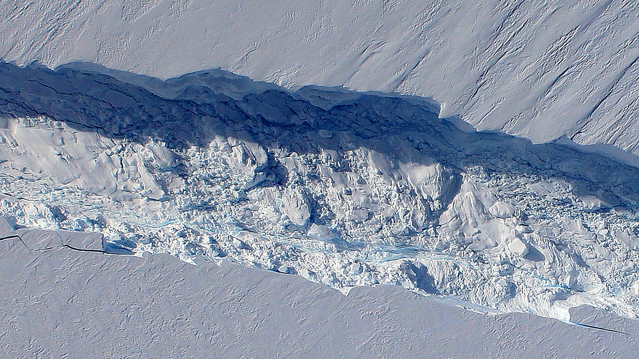
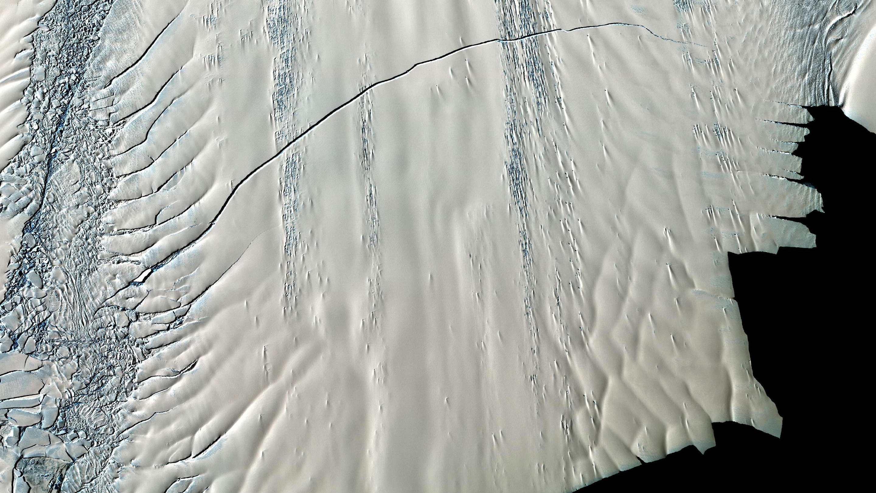
During a research flight over West Antarctica in the fall of 2011, scientists and flight crew with NASA's Operation IceBridge looked out their windows and saw what appeared to be a giant crack across the ice. Satellite imagery confirmed the view: Pine Island Glacier's ice shelf was breaking apart. The team later flew directly over the emerging rift, collecting a series of downward-looking, high-definition photographs snapped every two seconds. Pieced together, these images created a 3D model of the crack, saturated with detail. A spacious crevasse twists and turns while collapsed ice boulders rest at the foot of sheer frozen walls. Watch the visualization below to take a soaring journey over and into this model view of the 150-foot-deep ice canyon.
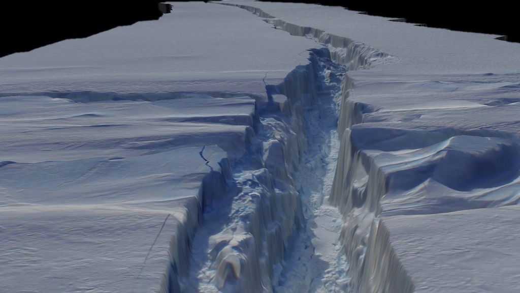


Ice Canyon
For More Information
Story Credits
Please give credit for this item to:
NASA's Goddard Space Flight Center
Photographs courtesy of NASA/GSFC/Jefferson Beck
NASA's Goddard Space Flight Center
Photographs courtesy of NASA/GSFC/Jefferson Beck
Short URL to share this page:
https://svs.gsfc.nasa.gov/10950
Keywords:
SVS >> App
NASA Science >> Earth
https://svs.gsfc.nasa.gov/10950
Keywords:
SVS >> App
NASA Science >> Earth


