Earth
ID: 10945
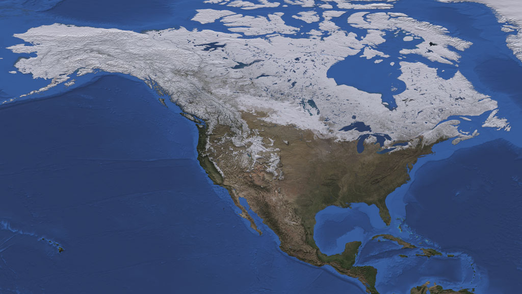
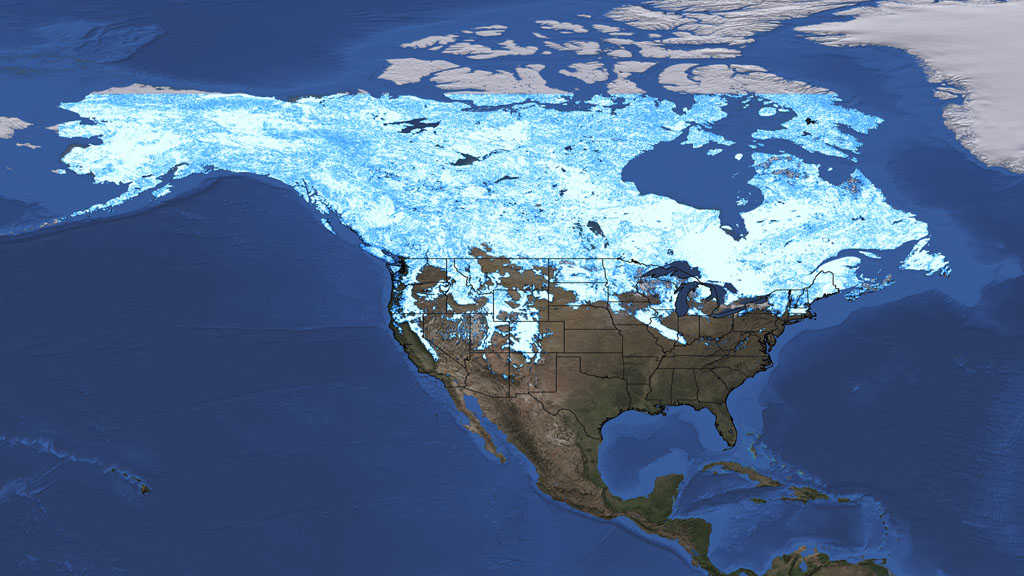
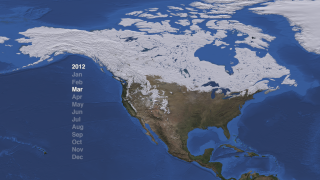
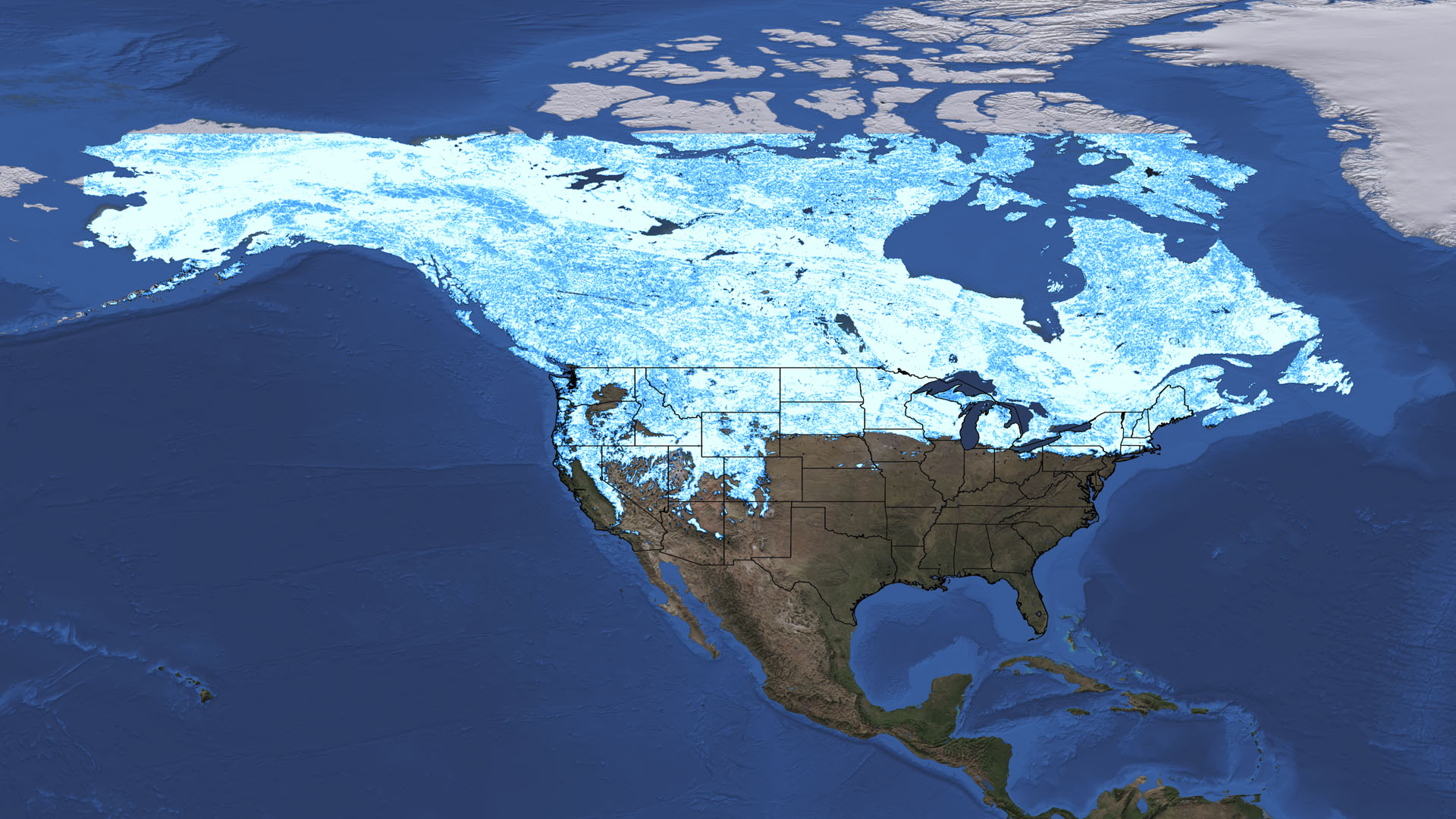
In 2010 and 2011, North America had two snowy winters, punctuated by monster storms that shut down cities from Denver to Washington DC. But this year saw fewer big storms, and by early March areas of the U.S. usually still dressed in white were mostly bare due to below average snowfall and above average temperatures that made this the fourth warmest winter on record. The heavy snows in 2010 were partly caused by El Niño, which drew moisture from the Pacific Ocean and Gulf of Mexico that froze above the lower 48 states upon contact with sinking cold air from the Arctic. However, La Niña conditions in 2012 resulted in the Pacific Ocean's moist air being pushed to the far North, where storms dumped near-record snowfall in Alaska. Watch the visualization below, based on data collected by NASA's Aqua and Terra satellites, to see how snow cover has varied over North America from July 2009 to March 2012.


Winter, Interrupted
Related Stories

For More Information
Story Credits
Visualizers/Animators:
Helen-Nicole Kostis (USRA)
Cindy Starr (Global Science and Technology, Inc.)
Producers:
Rani Gran (NASA/GSFC)
Malissa Reyes (USRA)
Lead Scientists:
Dorothy Hall (NASA/GSFC)
Jeffrey A. Miller (Wyle Information Systems)
Thorsten Markus (NASA/GSFC)
Lead Writer:
Ellen T. Gray (ADNET Systems, Inc.)
Helen-Nicole Kostis (USRA)
Cindy Starr (Global Science and Technology, Inc.)
Producers:
Rani Gran (NASA/GSFC)
Malissa Reyes (USRA)
Lead Scientists:
Dorothy Hall (NASA/GSFC)
Jeffrey A. Miller (Wyle Information Systems)
Thorsten Markus (NASA/GSFC)
Lead Writer:
Ellen T. Gray (ADNET Systems, Inc.)
Please give credit for this item to:
NASA's Goddard Space Flight Center
Alaska true-color satellite image courtesy of NASA/GSFC/Jeff Schmaltz/MODIS Land Rapid Response Team
NASA's Goddard Space Flight Center
Alaska true-color satellite image courtesy of NASA/GSFC/Jeff Schmaltz/MODIS Land Rapid Response Team
Short URL to share this page:
https://svs.gsfc.nasa.gov/10945
Keywords:
SVS >> App
NASA Science >> Earth
https://svs.gsfc.nasa.gov/10945
Keywords:
SVS >> App
NASA Science >> Earth


