Earth
ID: 10832
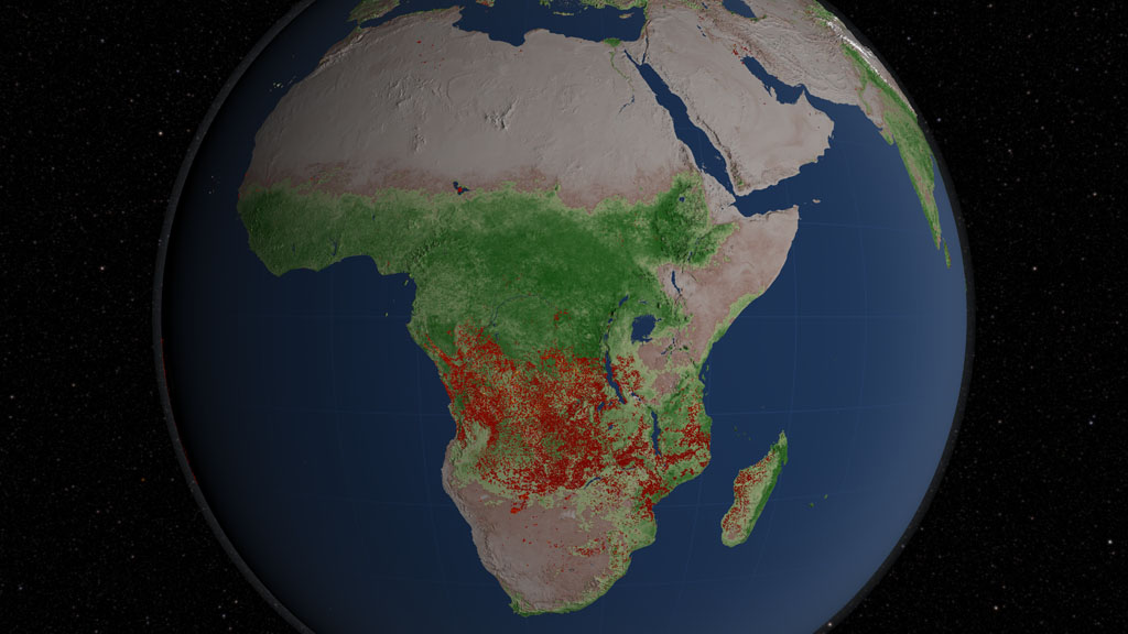
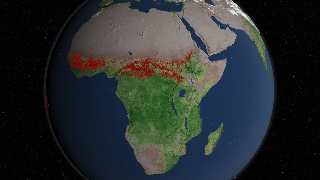
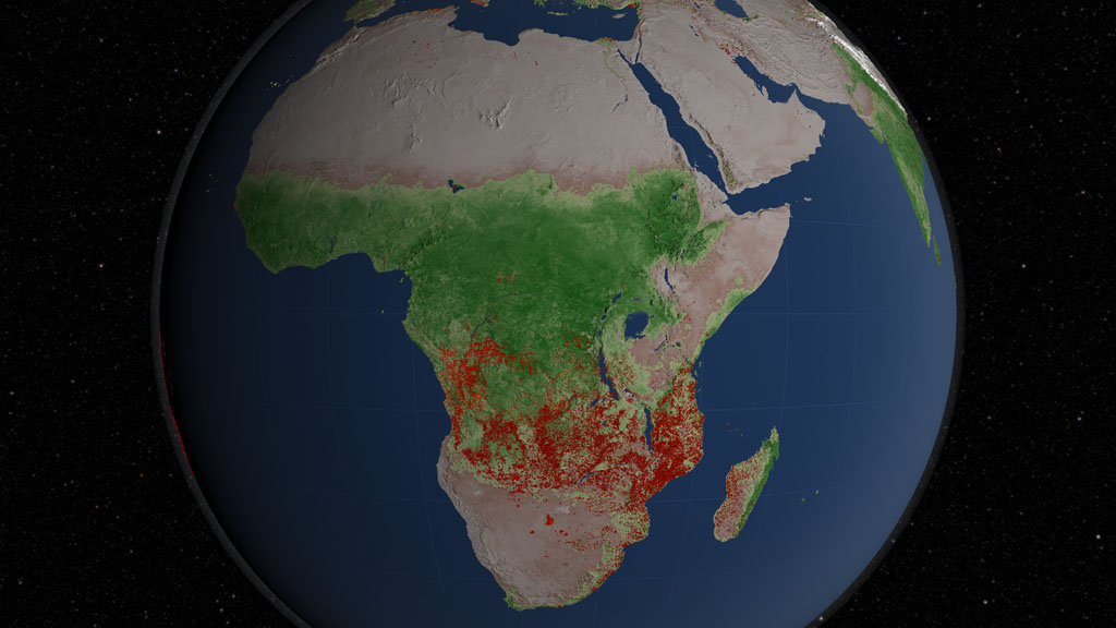
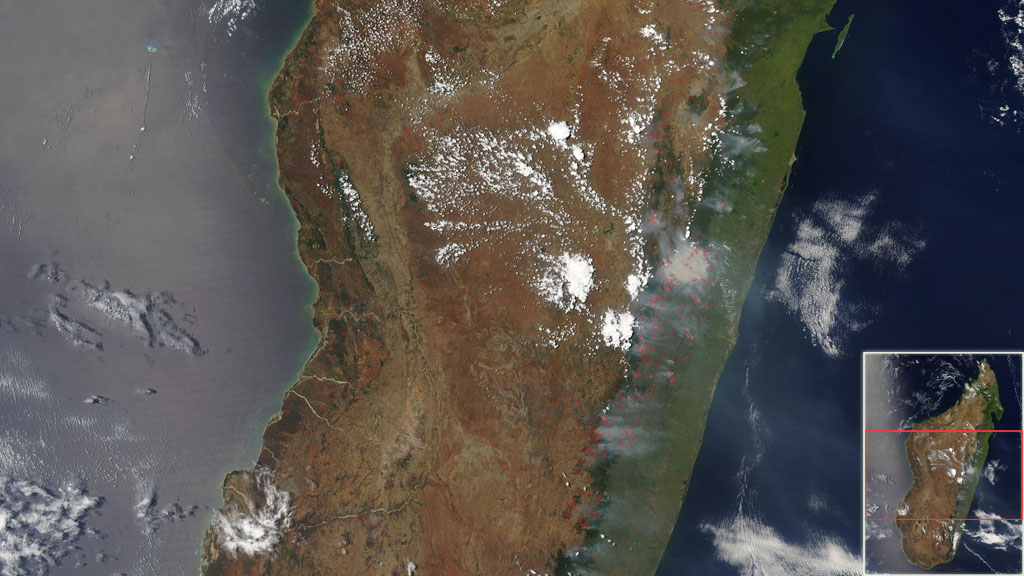
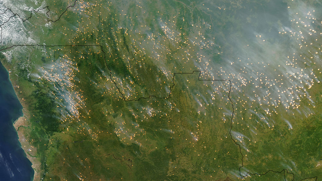
More fires burn in Africa each year than any other place on Earth. Collectively, these fires account for 70 percent of the total area burned by fire around the world. Humans set the majority of fires in Africa, burning land for farming and pastoral grazing. The practice is widespread and accepted by Africa's fire management community. Fire clears excess vegetation, creates new areas for cultivation and returns nutrients to the soils. Lightning fires, though not entirely uncommon, contribute much less to the total burning across the African landscape. At the beginning of the wet season, dry vegetation can readily ignite when struck by lightning. Such spontaneous ignitions can lead to wildfires that burn for days. The visualization below shows nearly a decade of fire observations throughout Africa collected by NASA satellites from July 2002 through July 2011. Watch how as the seasons shift from wet to dry, waves of fire sweep across the continent from the semi-arid grasslands and savannas just below the Sahara Desert in the north, to the equatorial forests in central Africa and lush landscapes of the south.

The Fire Continent
Related Story

Story Credits
Visualizers/Animators:
Greg Shirah (NASA/GSFC)
Lori Perkins (NASA/GSFC)
Producer:
Kayvon Sharghi (USRA)
Lead Scientists:
Chris Justice (University of Maryland)
Louis Giglio (SSAI)
Luigi Boschetti Ph.D. (University Of Maryland College Park)
Lead Writer:
Kayvon Sharghi (USRA)
Greg Shirah (NASA/GSFC)
Lori Perkins (NASA/GSFC)
Producer:
Kayvon Sharghi (USRA)
Lead Scientists:
Chris Justice (University of Maryland)
Louis Giglio (SSAI)
Luigi Boschetti Ph.D. (University Of Maryland College Park)
Lead Writer:
Kayvon Sharghi (USRA)
Please give credit for this item to:
NASA's Goddard Space Flight Center
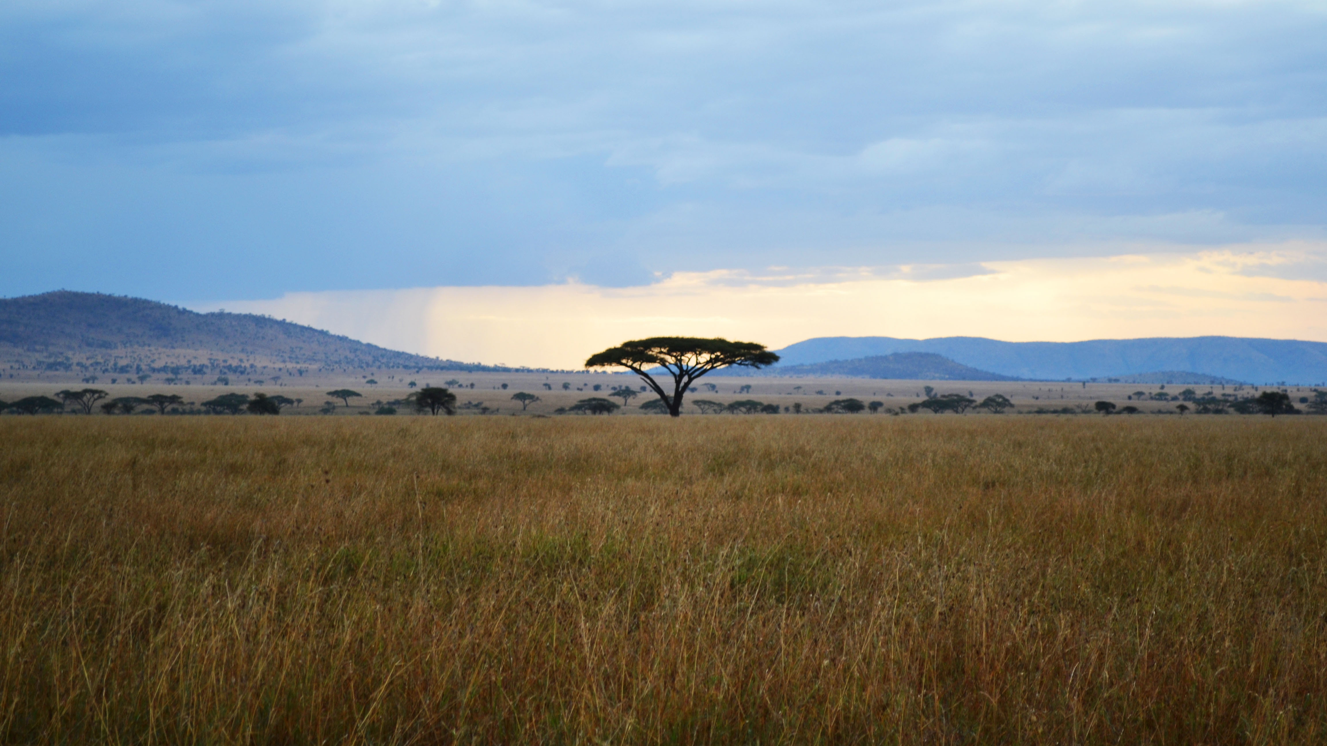
Acacia tree photo courtesy of Jurgen Altziebler
NASA's Goddard Space Flight Center
Acacia tree photo courtesy of Jurgen Altziebler
Short URL to share this page:
https://svs.gsfc.nasa.gov/10832
Keywords:
NASA Science >> Earth
SVS >> App
https://svs.gsfc.nasa.gov/10832
Keywords:
NASA Science >> Earth
SVS >> App


