Earth
ID: 10761
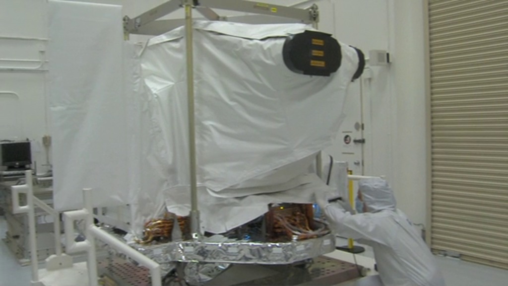
The Operational Land Imager (OLI), built by Ball Aerospace & Technologies Corp., will fly on the Landsat Data Continuity Mission (LDCM). OLI will measure in the visible, near infrared, and short wave infrared portions of the spectrum, with an improved signal-to-noise ratio compared to past Landsat instruments.
OLI Passes Pre-Ship Review
The Landsat program is a series of Earth-observing satellite missions jointly managed by NASA and the U.S. Geological Survey. For nearly 40 years, Landsat satellites have continuously and consistently collected images of Earth, creating a historical archive unmatched in quality, detail, coverage and value. Freely available Landsat data provide a unique resource for people who work in agriculture, geology, forestry, regional planning, education, mapping and global change research.
Credits
Matthew R. Radcliff (USRA): Producer
Please give credit for this item to:
NASA/Goddard Space Flight Center. Footage supplied by Ball Aerospace. The Landsat Program is a series of Earth-observing satellite missions jointly managed by NASA and the U.S. Geological Survey.
NASA/Goddard Space Flight Center. Footage supplied by Ball Aerospace. The Landsat Program is a series of Earth-observing satellite missions jointly managed by NASA and the U.S. Geological Survey.
Short URL to share this page:
https://svs.gsfc.nasa.gov/10761
Missions:
Landsat
LDCM: Landsat Data Continuity Mission
Keywords:
SVS >> HDTV
SVS >> Landsat
SVS >> LDCM
NASA Science >> Earth
https://svs.gsfc.nasa.gov/10761
Missions:
Landsat
LDCM: Landsat Data Continuity Mission
Keywords:
SVS >> HDTV
SVS >> Landsat
SVS >> LDCM
NASA Science >> Earth


