Earth
ID: 10739
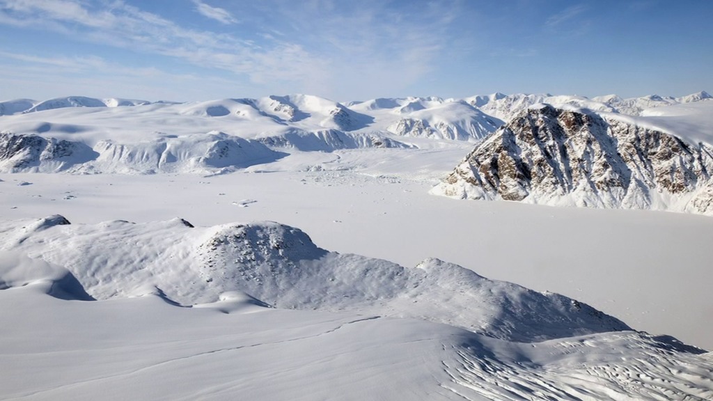
Ice caps are simply small versions of ice sheets, measuring in at a maximum area of 50,000 square kilometers (about 19,000 square miles). It's their small and thin stature that makes ice caps more prone to melt in a warming Arctic. Charles Webb of NASA's Goddard Space Flight Center in Greenbelt, Md., explains the importance of monitoring ice caps in the Canadian Arctic
Operation IceBridge Flies the Ice Caps
A few flights within NASA's Operation IceBridge — an airborne mission to monitor Earth's polar ice — are adding to the long-term record of ice cap changes. Such a record can provide insight into ice cap dynamics as well as provide an early-warning indicator of the impacts of climate change.
Credits
Please give credit for this item to:
NASA/Goddard Space Flight Center
NASA/Goddard Space Flight Center
Short URL to share this page:
https://svs.gsfc.nasa.gov/10739
This item is part of this series:
Narrated Movies
Keywords:
DLESE >> Cryology
SVS >> HDTV
SVS >> Ice Sheets
GCMD >> Earth Science >> Cryosphere
GCMD >> Location >> Canada
DLESE >> Narrated
SVS >> Operation IceBridge
NASA Science >> Earth
GCMD keywords can be found on the Internet with the following citation: Olsen, L.M., G. Major, K. Shein, J. Scialdone, S. Ritz, T. Stevens, M. Morahan, A. Aleman, R. Vogel, S. Leicester, H. Weir, M. Meaux, S. Grebas, C.Solomon, M. Holland, T. Northcutt, R. A. Restrepo, R. Bilodeau, 2013. NASA/Global Change Master Directory (GCMD) Earth Science Keywords. Version 8.0.0.0.0


