A Web Around Asteroid Bennu – Visualizations
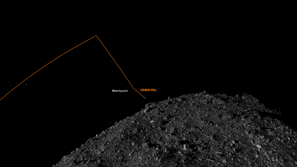
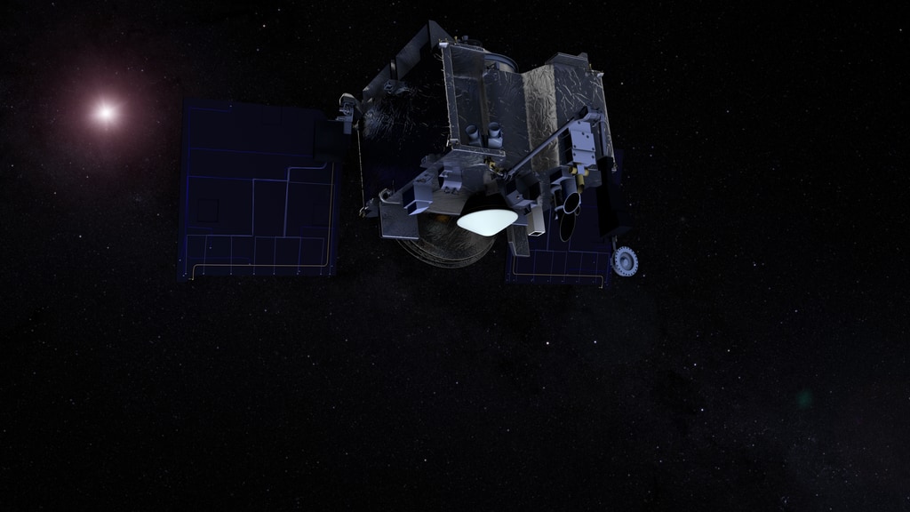
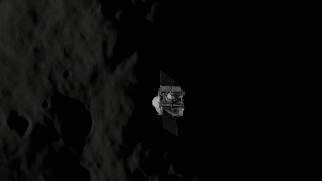
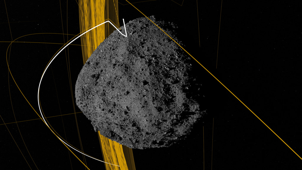
This visualization depicts the OSIRIS-REx spacecraft’s trajectory around the asteroid Bennu from the initial arrival in Dec 2018 through the final departure in April 2021. The trajectory is presented in a Sun Bennu North reference frame. Several mission segments are highlighted in white, leading up to the TAG sample collection maneuver on Oct 20, 2020.
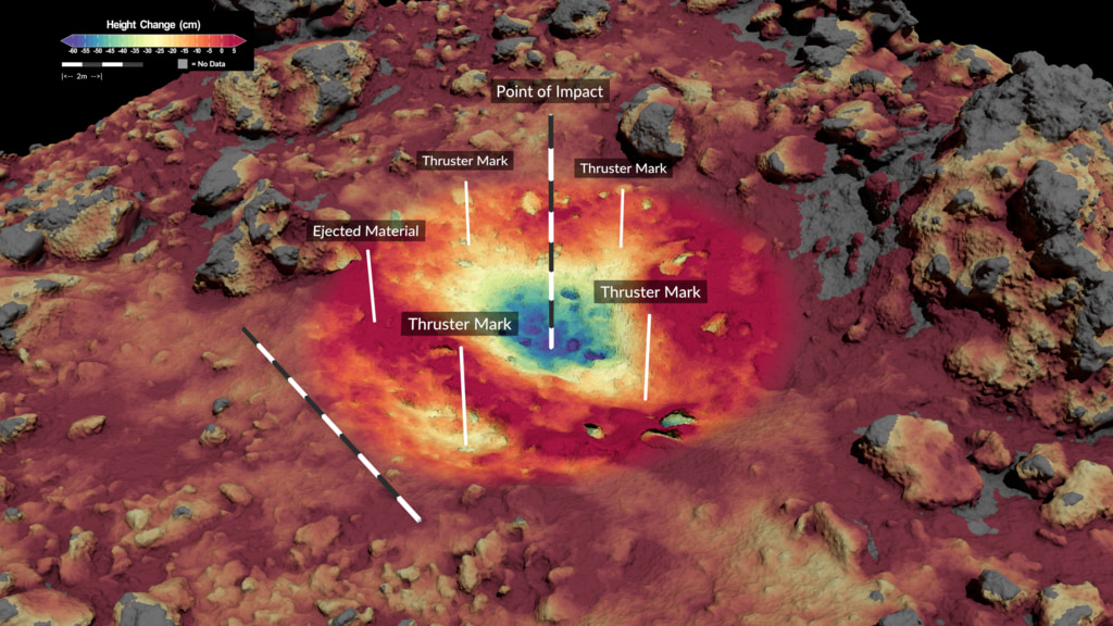
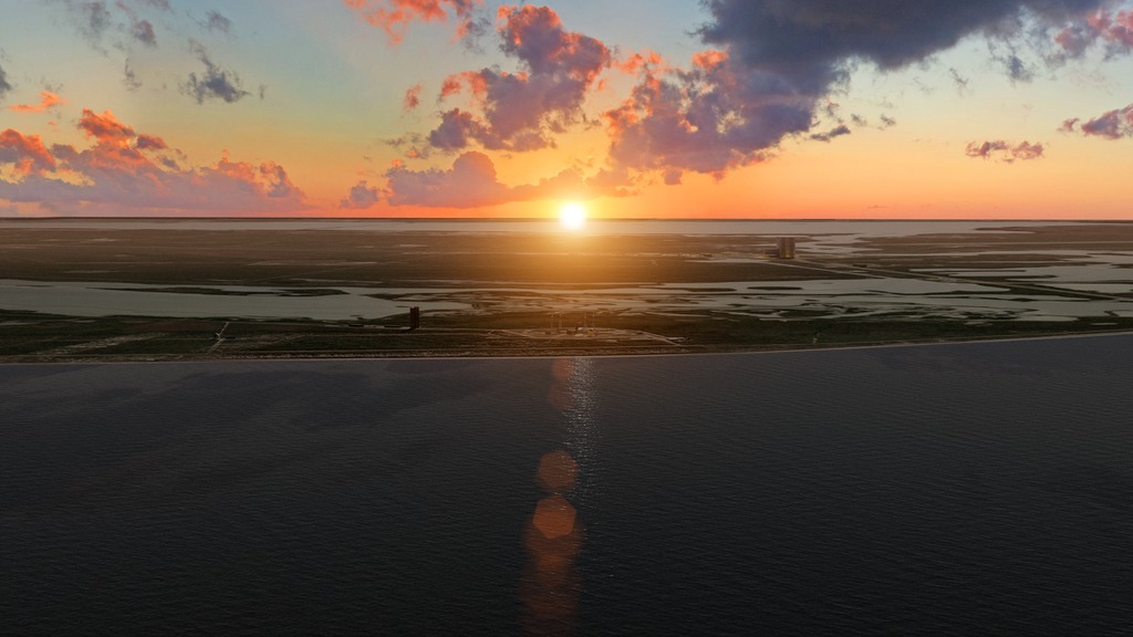
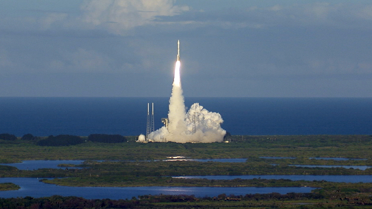
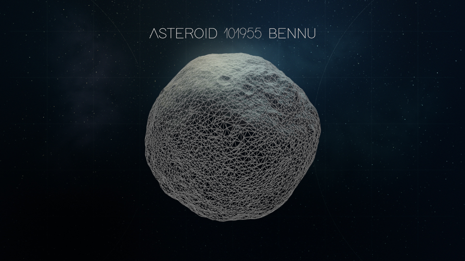
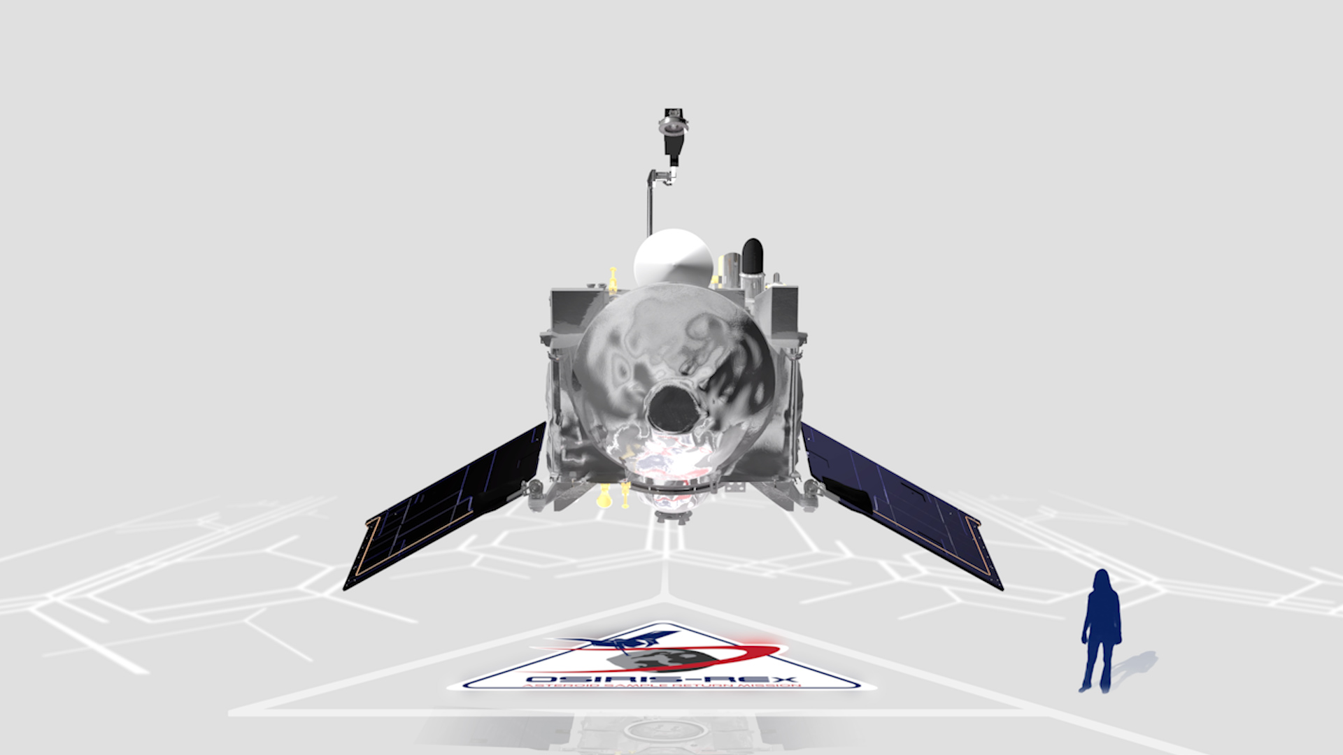
The Origins Spectral Interpretation Resource Identification Security - Regolith Explorer (OSIRIS-REx) spacecraft arrived at near-Earth asteroid Bennu in December 2018. After studying the asteroid for nearly two years, the spacecraft successfully performed a Touch-And-Go (TAG) sample collection maneuver on October 20, 2020. The spacecraft will remain in asteroid Bennu’s vicinity until May 10, when the mission will enter its Return Cruise phase and begin its two-year journey back to Earth. This data visualization presents the mission’s complete trajectory during its time at Bennu.
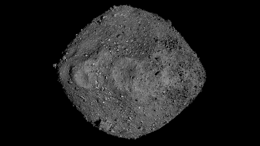
This is a single layer of the Web Around Bennu visualization that includes just the asteroid and the orbit lines with a transparent background.
This is a single layer of the Web Around Bennu visualization that includes just the star background
This is a single layer of the Web Around Bennu visualization that includes just dates
Credits
Please give credit for this item to:
NASA's Scientific Visualization Studio
Data provided by NASA/University of Arizona/CSA/York University/MDA.
-
Visualizer
- Kel Elkins (USRA)
-
Producer
- Dan Gallagher (USRA)
-
Deputy project manager
- Michael Moreau (NASA/GSFC)
-
Principal investigator
- Dante Lauretta (The University of Arizona)
-
Engineer
- Kenny Getzandanner (NASA/GSFC)
Release date
This page was originally published on Monday, May 10, 2021.
This page was last updated on Wednesday, April 24, 2024 at 12:16 AM EDT.
Missions
This visualization is related to the following missions:Datasets used in this visualization
-
[OSIRIS-REx]
ID: 945 -
LIDAR [OSIRIS-REx: OLA]
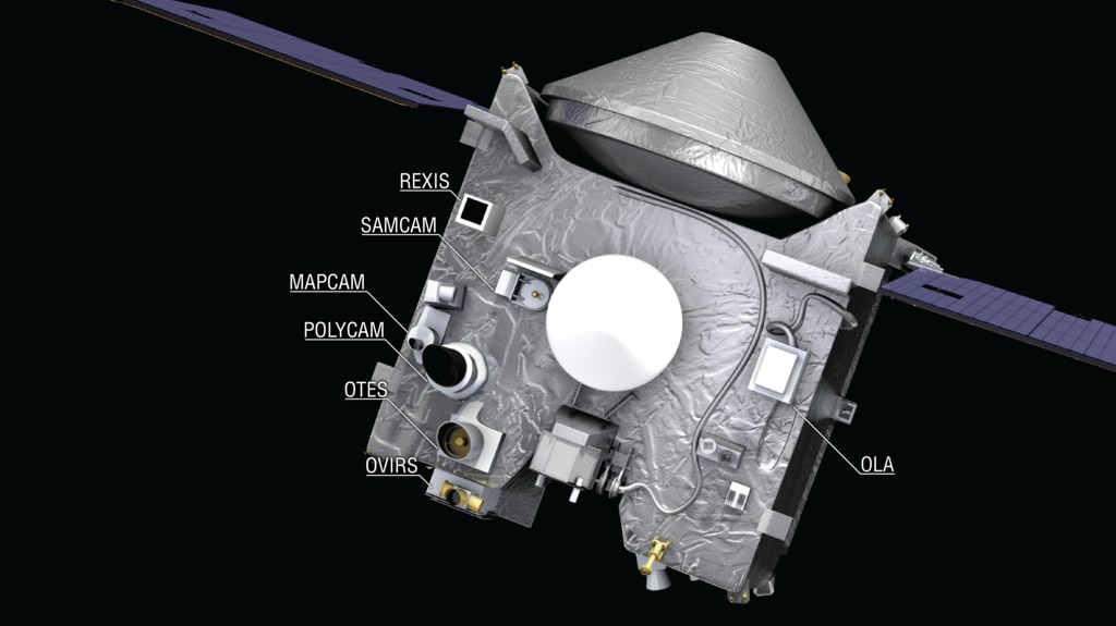
ID: 1055The OSIRIS-REx Laser Altimeter (OLA) is a scanning LIDAR (Light Detection and Ranging). LIDAR is similar to RADAR, but it uses light instead of radio waves to measure distance. OLA emitted laser pulses at the surface of Bennu, which reflected back from the surface and returned a portion of the laser pulse to the LIDAR detector. By carefully measuring the time difference between the outgoing pulse and the incoming pulse, the distance from the spacecraft to the surface of Bennu was computed using the speed of light. This allowed OLA to provide high-resolution topographical information about Bennu during the mission.
See all pages that use this dataset -
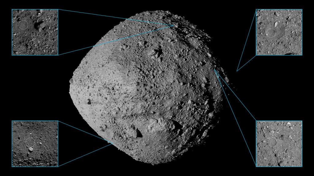
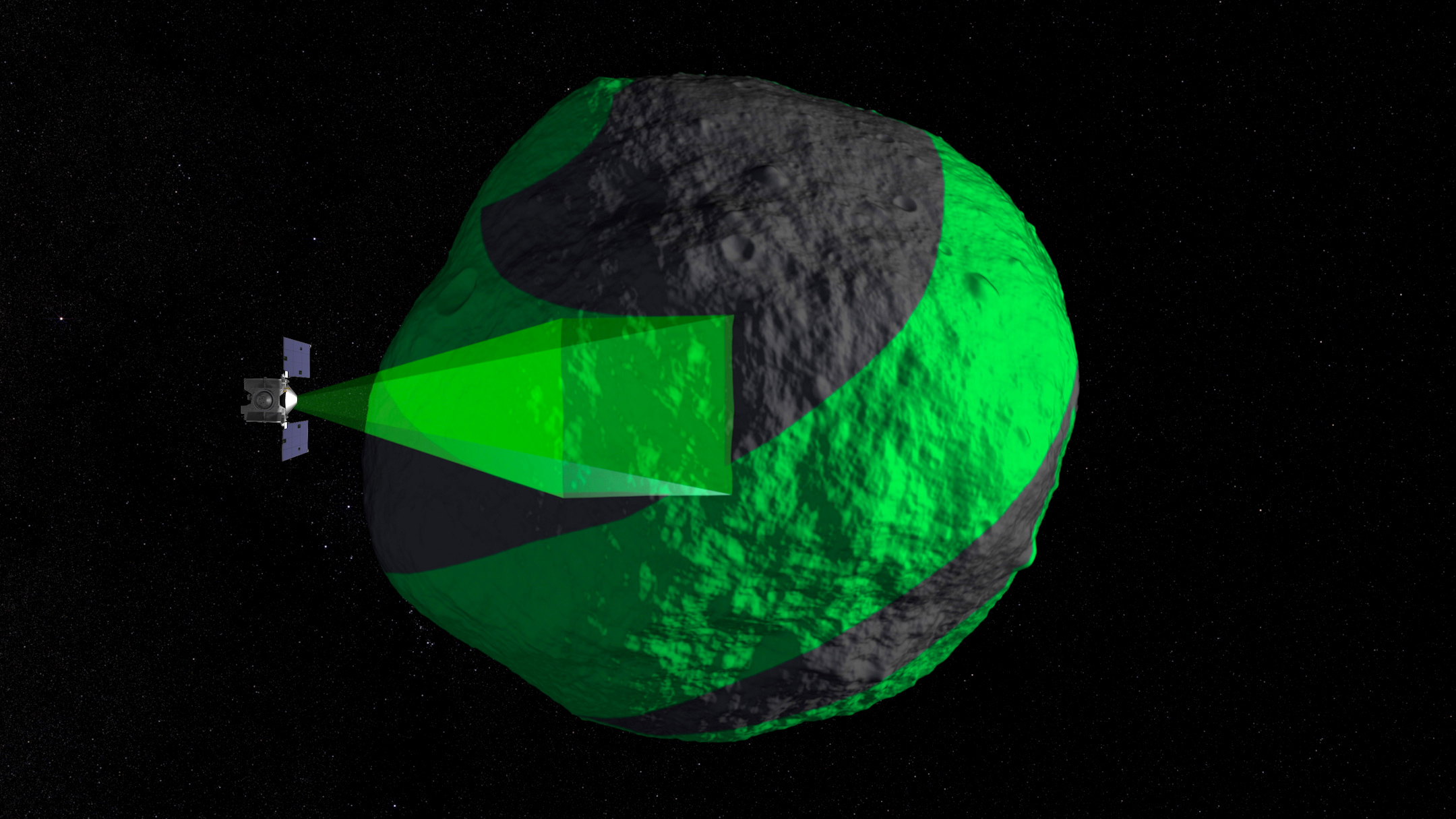
Imagery [OSIRIS-REx: OCAMS]
ID: 1063The OSIRIS-REx Camera Suite (OCAMS) consists of three cameras: PolyCam, MapCam, and SamCam. These cameras captured a wealth of imagery during OSIRIS-REx’s time at asteroid Bennu. To help mission planners select a site on Bennu for sample collection, OCAMS provided global image mapping of the asteroid’s surface and more detailed images of potential sample sites. OCAMS also recorded the sampling event during the touch-and-go (TAG) maneuver.
Credit: NASA/University of Arizona/CSA/York University/MDA
See all pages that use this dataset
Note: While we identify the data sets used in these visualizations, we do not store any further details, nor the data sets themselves on our site.
Related
- ID: 5010
 Visualization
 - ID: 4886
 Visualization
 - ID: 4862
 Visualization
 - ID: 13731

- ID: 4863
 Visualization
 - ID: 4744
- ID: 13012
 Produced Video
 - ID: 12713
- ID: 20251
 Animation
 - ID: 20253
- ID: 20255
- ID: 20256
 Animation
 - ID: 20257
Used as a Source In
- ID: 13856
 Animation
 - ID: 13565
 Produced Video
 - ID: 4742
 Visualization
 - ID: 13207
 Produced Video
 - ID: 11825
- ID: 12707
 Produced Video
 - ID: 12504
 Produced Video
 - ID: 12443
![The OSIRIS-REx camera suite will provide global maps and close-up images of asteroid Bennu, along with information about the carbon-rich asteroid's chemical makeup.This video is available for download in 4k resolution.Watch this video on the NASA Goddard YouTube channel.
Complete transcript available.Music Credits: "Ultimate Question" and "Victory Or Failure" by Guy & Zab Skornik [SACEM]](/vis/a010000/a012400/a012443/OCAMS_Preview_12443.jpg) Produced Video
Produced Video - ID: 12357
 Produced Video
 - ID: 12360
![To Bennu and BackMusic credits: "Defenders of the Earth" and "Finding Gaia" by Daniel Jay Nielson [ASCAP]; Atmosphere Music Ltd PRS; Volta Music; Killer Tracks Production Music](/vis/a010000/a012300/a012360/ToBennuAndBack_thumbnail.jpg) Animation
Animation - ID: 12339
 Animation