GPM Sees Baltimore/Washington Corridor Snow Storm (Feb. 21, 2015)
Animation showing a snow storm over the Baltimore/Washington area on Saturday, Feb. 21st, 2015 at 10:05 am. The heavy snow event left upwards of 9 inches of snow in some areas.
At 10:05 a.m. EST Saturday, Feb. 21, 2015, the Global Precipitation Measurement mission's Core Observatory flew over a snow storm that covered most of the Washington DC metro area leaving as much as 9 inches of snow in some of the surrounding suburbs.
The GPM Core Observatory carries two instruments that show the location and intensity of rain and snow, which defines a crucial part of the storm structure – and how it will behave. The GPM Microwave Imager sees through the tops of clouds to observe how much and where precipitation occurs, and the Dual-frequency Precipitation Radar observes precise details of precipitation in 3-dimensions.
GPM data is part of the toolbox of satellite data used by forecasters and scientists to understand how storms behave. GPM is a joint mission between NASA and the Japan Aerospace Exploration Agency. Current and future data sets are available with free registration to users from NASA Goddard's Precipitation Processing Center website.

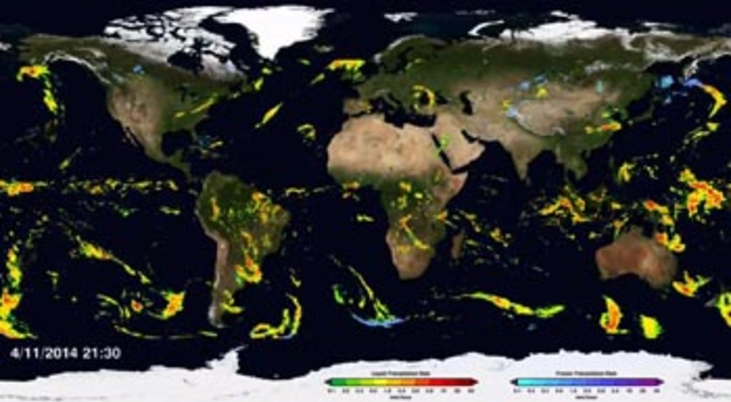
Color bar for frozen precipitation rates (eg, snow rates). Shades of cyan represent low amounts of frozen precipitation, whereas shades of purple represent high amounts of precipitation.

Color bar for liquid precipitation rates (ie, rain rates). Shades of green represent low amounts of liquid precipitation, whereas shades of red represent high amounts of precipitation.

Print resolution still showing a westward view of the snow storm that affected the Baltimore/Washington area Feb. 21st, 2015.
Print resolution still looking southward at a slice through the snow storm on Feb. 21st, 2015 as seen through GPM's GMI and DPR sensors.
Print resolution still showing a side-view of the Baltimore/Washington snow storm on Feb. 21st, 2015. Notice the large amounds of frozen precipitation (depicted in shades of blue) only reach approximately 5 kilometers high.
Credits
Please give credit for this item to:
NASA's Scientific Visualization Studio
-
Animators
- Alex Kekesi (Global Science and Technology, Inc.)
- Greg Shirah (NASA/GSFC)
- Ernie Wright (USRA)
-
Producers
- Ryan Fitzgibbons (USRA)
- Rani Gran (NASA/GSFC)
-
Scientists
- Gail Skofronick Jackson (NASA/GSFC)
- George Huffman (NASA/GSFC)
- Dalia B Kirschbaum (NASA/GSFC)
Release date
This page was originally published on Thursday, February 26, 2015.
This page was last updated on Wednesday, May 3, 2023 at 1:49 PM EDT.
Missions
This visualization is related to the following missions:Series
This visualization can be found in the following series:Datasets used in this visualization
-
[GOES: IR4]
ID: 33 -
Rain Rates (Surface Precipitation) [GPM: GMI]
ID: 822Credit: Data provided by the joint NASA/JAXA GPM mission.
See all pages that use this dataset -
Volumetric Precipitation data (Ku) [GPM: DPR]
ID: 830Credit: Data provided by the joint NASA/JAXA GPM mission.
See all pages that use this dataset
Note: While we identify the data sets used in these visualizations, we do not store any further details, nor the data sets themselves on our site.
Related
- ID: 11826
 Produced Video