Arctic Carbon Dioxide
The Atmospheric Infrared Sounder, AIRS, was launched aboard the Aqua Spacecraft in 2002 as part of NASA's Earth Observing System Afternoon Constellation of satellites known as the 'A-Train. The most important trace gas retrieved by AIRS for the study of anthropogenic effects on climate is carbon dioxide. AIRS CO2 retrievals use an analytical method for the determination of carbon dioxide and other minor gases in the troposphere from AIRS spectra. AIRS has provided the first satellite retrieval of mid-tropospheric CO2 under cloudy conditions, without the use of a priori information from models. AIRS retrievals use cloud-cleared thermal IR radiance spectra in the 15 micron band with an accuracy better than 2 ppm, making it ideal for mapping the distribution and transport of carbon dioxide levels in the free troposphere.
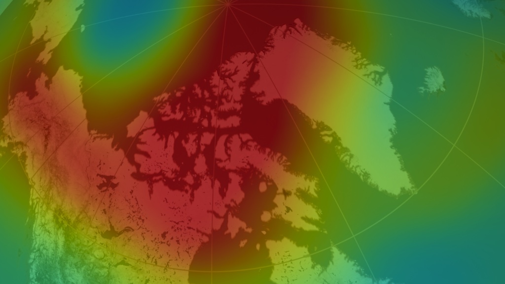
Arctic CO2 in the mid-troposphere (8-12 km altitude) over the period February 2010 through February 2011. The AIRS data have been combined over a 9-day window and then assimilated by a Fixed Rank Kriging (FRK) process that smoothes the data based upon spatial covariances that are neither stationary nor isotropic. The FRK methodology was developed by a group in the Program in Spatial Statistics and Environmental Sciences at The Ohio State University.
For More information on this methodology, click here.
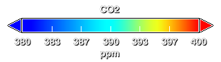
Mid-Tropospheric Colortable for AIRS Carbon Dioxide
Only Arctic CO2 in the mid-troposphere (8-12 km altitude) over the period February 2010 through February 2011.
Corresponding dates
Flatmap version released for hyperwall.
This product is available through our Web Map Service.
Credits
Please give credit for this item to:
NASA/Goddard Space Flight Center Scientific Visualization Studio
-
Animator
- Lori Perkins (NASA/GSFC)
-
Scientists
- Hai Nguyen (California Institute of Technology)
- Edward Olsen (NASA/JPL CalTech)
-
Project support
- Sharon Ray (NASA/JPL CalTech)
Release date
This page was originally published on Friday, April 1, 2011.
This page was last updated on Tuesday, November 14, 2023 at 12:01 AM EST.
Datasets used in this visualization
-
FSK CO2 (9day window CO2) [Aqua: AIRS]
ID: 708
Note: While we identify the data sets used in these visualizations, we do not store any further details, nor the data sets themselves on our site.
Related
- ID: 10932
 Produced Video