Predicting Disease Outbreaks from Space
These visualizations were created for the May 18, 2012 Library of Congress Talk Predictiding Disease Outbreaks from Space. In this talk NASA scientist Assaf Anyamba, will present how using remote-sensing data we can see links among weather, diseases and famine.
An early warning system more than a decade in development successfully predicted the 2006-2007 outbreak of the deadly Rift Valley Fever (RVF) in East Africa and subsequent outbreaks in Sudan (2007) and South Africa (2008-2011). RVF is a deadly hemorrhagic disease transmitted by mosquitoes that infects livestock and human populations episodically. An international team of research scientists, public-health professionals, agricultural specialists and military personnel had worked for a decade to successfully predict when and where an outbreak of RVF would occur.
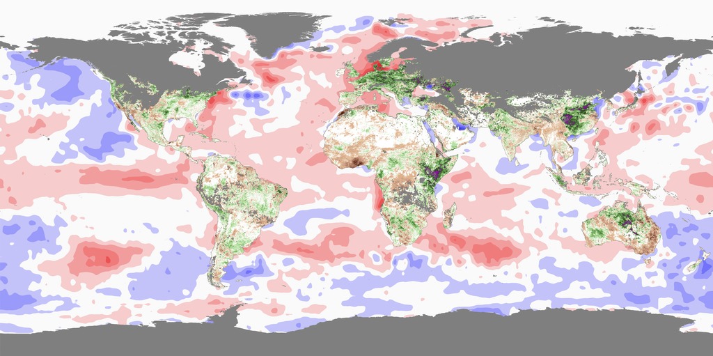
This visualization shows the relationships between Sea Surface Temperature (SST) Anomaly, Rainfall Anomaly and Rift Valley Fever (RVF) outbreaks in Africa during 2005-2010.
This visualization shows the relationships between Sea Surface Temperature (SST) Anomaly, Normalized Difference Vegetation Index (NDVI) Anomaly and Rift Valley Fever (RVF) outbreaks in Africa during 2004-2010.

Normalized Difference Vegetation Index (NDVI) Anomaly color scale.

Sea Surface Temperature (SST) Anomaly color scale in Celsius.

Rainfall Anomally color scale in millimeters.
Credits
Please give credit for this item to:
NASA/Goddard Space Flight Center Scientific Visualization Studio
-
Animators
- Helen-Nicole Kostis (USRA)
- Greg Shirah (NASA/GSFC)
- Horace Mitchell (NASA/GSFC)
- Ernie Wright (USRA)
-
Scientist
- Assaf Anyamba (USRA)
-
Project support
- Jennifer Small (SSAI)
Release date
This page was originally published on Wednesday, August 31, 2011.
This page was last updated on Tuesday, November 14, 2023 at 12:00 AM EST.
Datasets used in this visualization
-
Sea Surface Temperature Anomaly [Aqua: AMSR-E]
ID: 239 -
CPC ARC (Climate Prediction Center (CPC) Africa Rainfall Estimate Climatology)
ID: 709Input data used for operational rainfall estimates are from 4 sources: 1) Daily GTS rain gauge data for up to 1000 stations 2) AMSU microwave satellite precipitation estimates up to 4 times per day 3) SSM/I satellite rainfall estimates up to 4 times per day 4) GPI cloud-top IR temperature precipitation estimates on a half-hour basis.
This dataset can be found at: http://www.cpc.ncep.noaa.gov/products/fews/AFR_CLIM/afr_clim.shtml
See all pages that use this dataset
Note: While we identify the data sets used in these visualizations, we do not store any further details, nor the data sets themselves on our site.
Related
- ID: 3905
 Visualization