Cape Canaveral and Orlando Landsat timeseries
Kennedy Space Center and Orlando land cover change.
Since December 1968, the John F. Kennedy Space Center (KSC) has been NASA's primary launch center of human spaceflight. The center is home to one Launch Complex (LC) with two pads: LC-39A and LC-39B. Built on a swamp, the two pads were originally constructed in the 1960s as clean pads and served as a starting point for Apollo and our journey to the moon.
This pair of false-color images shows KSC and the adjacent Cape Canaveral Air Force Station in 1972 and 2016. Acquired with the Landsat series of satellites, the scenes are shown in green, red, and near-infrared light, a combination that helps differentiate components of the landscape. Vegetation is red, while urban areas are brown to gray. West of launch pads 39A and 39B, you can see the facility’s 525-foot-tall Vehicle Assembly Building (for stacking NASA's largest rockets), the 3-mile-long Shuttle Landing Facility, and the iconic Kennedy Space Center Visitor Complex. As of 2017, only Launch Complex 39A is active, launching SpaceX's Falcon 9. Launch Complex 39B will serve as the launch site for the agency's Space Launch System rocket and Orion spacecraft on deep-space missions, including the journey to Mars. South of KSC, launch pads (active and inactive) line the coast of Cape Canaveral Air Force Station (CCAFS).
Cape Canaveral
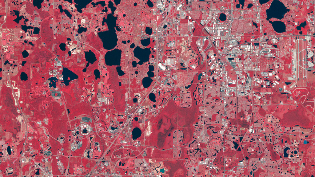
Orlando area
Credits
Please give credit for this item to:
NASA
-
Visualizer
Release date
This page was originally published on Saturday, July 29, 2017.
This page was last updated on Wednesday, November 15, 2023 at 12:36 AM EST.
Datasets used in this visualization
-
[Landsat-1: MSS]
ID: 48 -
Band Combination 5, 4, 3 [Landsat-8: OLI]
ID: 862
Note: While we identify the data sets used in these visualizations, we do not store any further details, nor the data sets themselves on our site.
Related
- ID: 11918
 Produced Video