ICESat-2 Elevates Our View of Earth
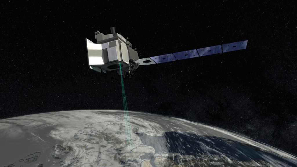
ICESat-2 will provide scientists with height measurements that create a global portrait of Earth’s third dimension, gathering data that can precisely track changes of terrain including glaciers, sea ice, forests and more. The single instrument on ICESat-2 is ATLAS, the Advanced Topographic Laser Altimeter System, will measure melting ice sheets and investigate how this effects sea level rise, investigate changes in the mass of ice sheets and glaciers, estimate and study sea ice thickness, and measure the height of vegetation in forests and other ecosystems worldwide.
Music: "Begin Again," Dan Parry, Sound Pocket Music PRS; "Eternal Circle," Laurent Dury, Koka Media SACEM
Complete transcript available.
Credits
Please give credit for this item to:
NASA's Goddard Space Flight Center
-
Producer
- Ryan Fitzgibbons (USRA)
-
Animators
- Adriana Manrique Gutierrez (USRA)
- Chris Meaney (KBR Wyle Services, LLC)
-
Videographers
- Rob Andreoli (Advocates in Manpower Management, Inc.)
- John Caldwell (Advocates in Manpower Management, Inc.)
- Jefferson Beck (USRA)
-
Editor
- Ryan Fitzgibbons (USRA)
-
Scientists
- Thorsten Markus (NASA/GSFC)
- Thomas A. Neumann (NASA/GSFC)
-
Interviewees
- Thorsten Markus (NASA/GSFC)
- Thomas A. Neumann (NASA/GSFC)
Release date
This page was originally published on Wednesday, August 16, 2017.
This page was last updated on Wednesday, November 15, 2023 at 12:22 AM EST.
Missions
This visualization is related to the following missions:Series
This visualization can be found in the following series:Related
- ID: 13062
 Produced Video
 - ID: 12768
 Produced Video
Used as a Source In
- ID: 12984
 Produced Video