ICESat-2 Beauty Pass
Animation showing the deployment of the spacecraft and a beauty pass with the beams on.
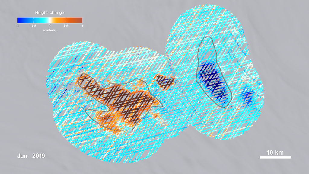
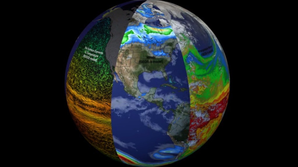
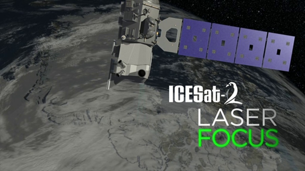
The Ice, Cloud and land Elevation Satellite-2, or ICESat-2, is a laser altimeter that will measure the heights of Earth’s surfaces. With ICESat-2’s high-resolution data, scientists will track changes to Earth’s ice-covered poles, which is witnessing dramatic temperature increases. The mission will also take stock of forests, map ocean surfaces, characterize clouds and more.
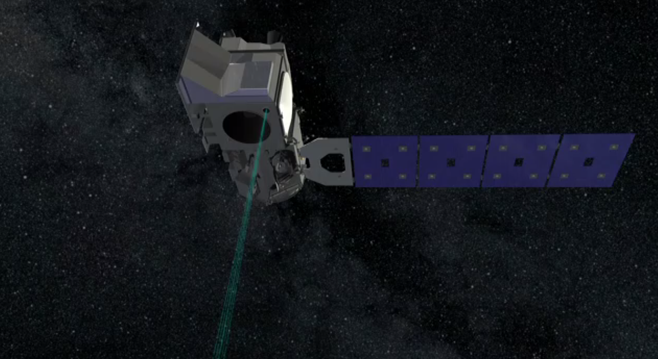
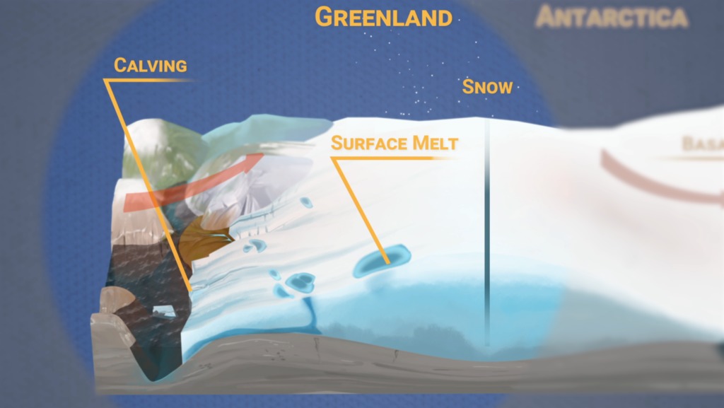
ICESat-2 carries a single instrument called the Advanced Topographic Laser Altimeter System (ATLAS), equipped with a multiple-beam laser, which sends 10,000 pulses of light to the ground each second. A small fraction of the light photons bounce off Earth’s surface and return to the instrument, where a photon-counting detector times their flight. Knowing this time, and the satellite’s position and orientation in space, scientists can calculate Earth’s elevation below.
ICESat-2 continues key elevation observations begun by the original ICESat satellite (2003 to 2009) and Operation IceBridge (2009 through present), to provide a portrait of change in the beginning of the 21st century.

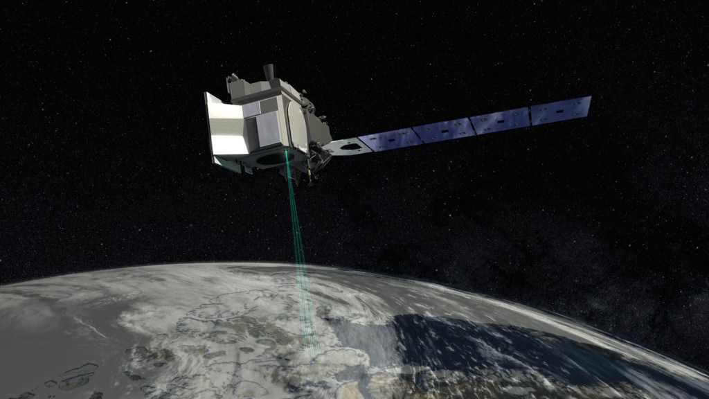
High resolution print graphic of the spacecraft above the Earth.
Credits
Please give credit for this item to:
NASA's Goddard Space Flight Center
-
Animator
- Chris Meaney (HTSI)
-
Producer
- Ryan Fitzgibbons (USRA)
-
Scientist
- Thorsten Markus (NASA/GSFC)
-
Project support
- Aaron E. Lepsch (ADNET Systems, Inc.)
Release date
This page was originally published on Wednesday, October 15, 2014.
This page was last updated on Tuesday, November 14, 2023 at 12:19 AM EST.
Related
- ID: 4913
 Visualization
 - ID: 13300
 Produced Video
 - ID: 13045
 Produced Video
 - ID: 12592
 Produced Video
 - ID: 12335
 Produced Video
 - ID: 11976
 Produced Video
 - ID: 11726
 Produced Video
Used as a Source In
- ID: 12977
 Produced Video
 - ID: 12984
 Produced Video
 - ID: 13062
 Produced Video
 - ID: 12768
 Produced Video