Earth From Orbit
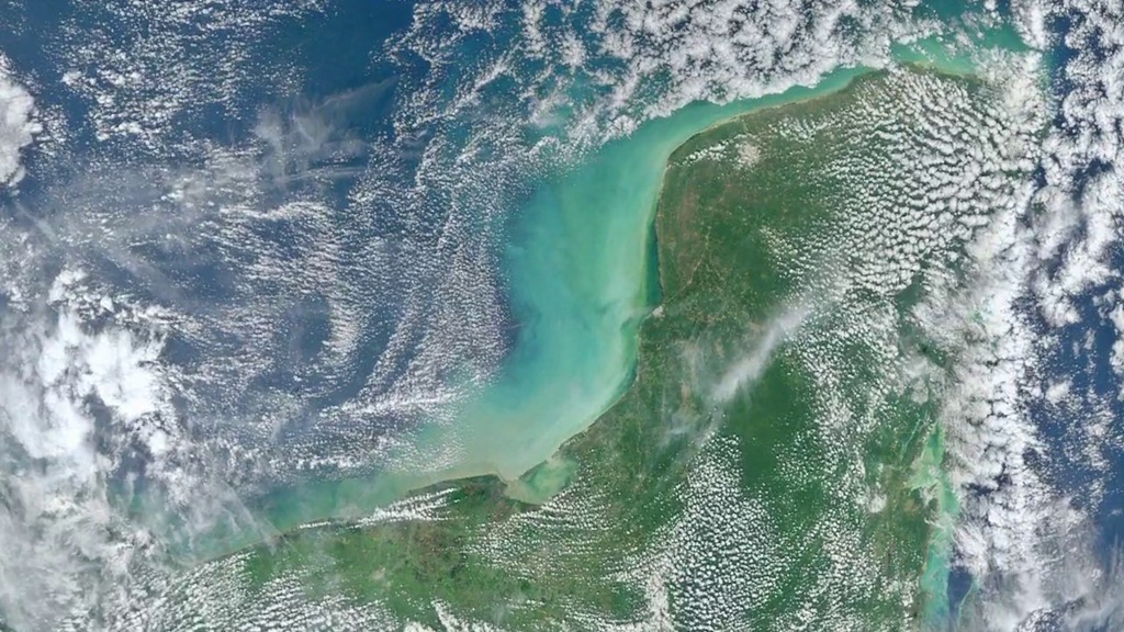
Earth is constantly changing, which is why NASA has a fleet of Earth-observing satellites continuously monitoring the globe, recording every moment of what they see. Luckily for us, many of the views are not only deeply informative but also awe-inspiring. A selection of some of the best views of Earth from space in 2012 can be seen in the video compilation. Included in the collection are satellite images, data visualizations, supercomputer model simulations and time-lapse observations of our planet captured by astronauts aboard the International Space Station.

Explore some of the best views of Earth from space in 2012.
Watch this video to see some of the best views of Earth from space in 2012.
The massive crack running across Antarctica's Pine Island Glacier can be seen in this satellite image.
Hurricane Sandy's winds are visible in this image taken from a supercomputer model simulation of the storm.
Astronauts aboard the International Space Station captured this image of the moon setting over the Pacific Ocean.
For More Information
See NASA.gov
Credits
Please give credit for this item to:
NASA's Goddard Space Flight Center
Cover image courtesy of NASA/NOAA/GSFC/Suomi NPP/VIIRS/Norman Kuring
Moonset image courtesy of ISS Expedition 34 crew
-
Producer
- Jefferson Beck (USRA)
-
Writer
- Kayvon Sharghi (USRA)
Release date
This page was originally published on Tuesday, June 4, 2013.
This page was last updated on Wednesday, May 3, 2023 at 1:52 PM EDT.
Related
- ID: 11243
 Produced Video