Come Fly With Me
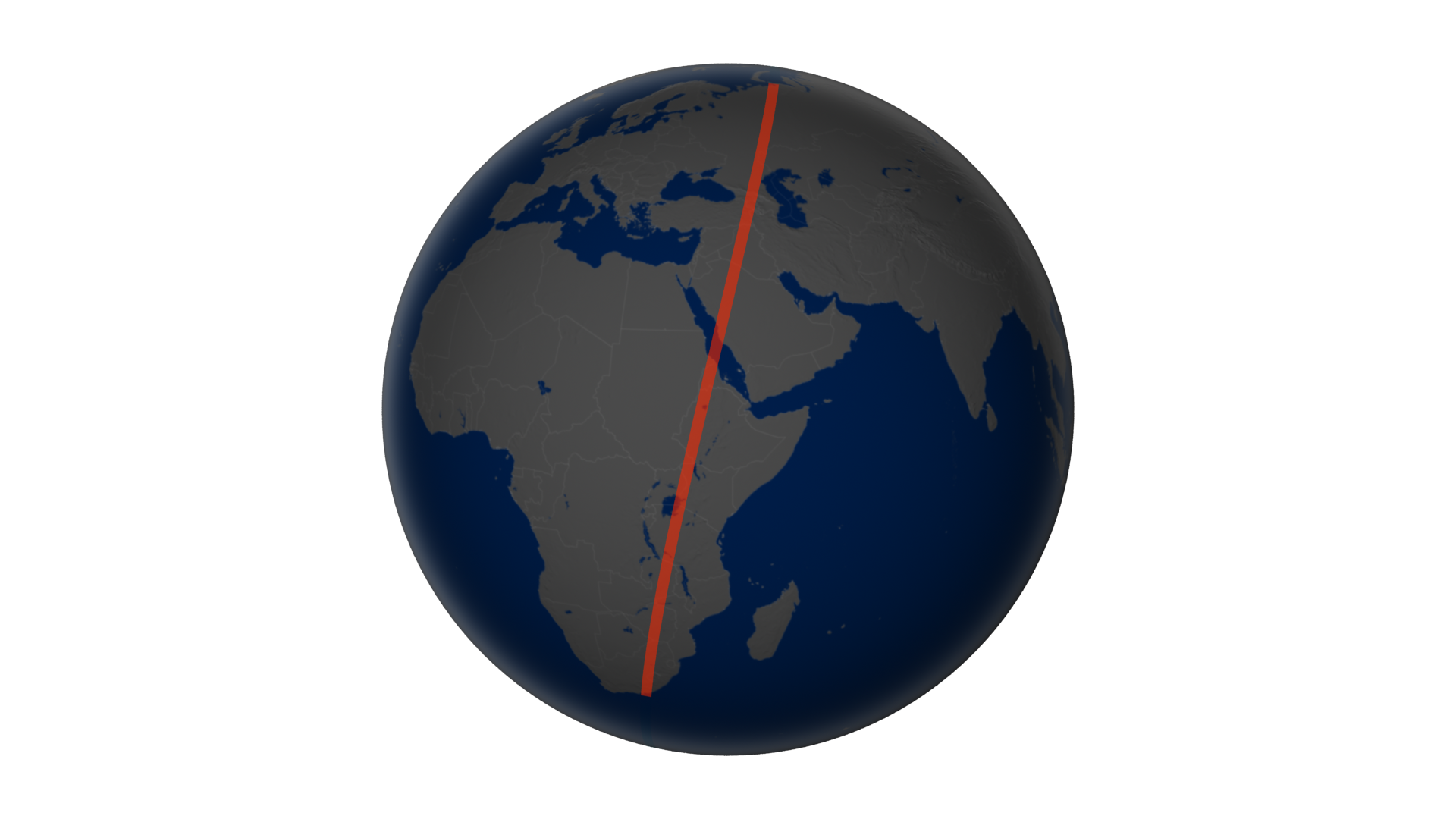
Have you ever wondered what it would be like to soar like a satellite, watching the world pass beneath you? The dream is elusive (except for astronauts), but through imagery from the Landsat Data Continuity Mission (LDCM), we can take a vicarious flight. In mid-April 2013, the newest satellite in the Landsat family scanned a 120-mile-wide swath of land from northern Russia to South Africa. That flight path afforded us a chance to assemble a flyover view of what LDCM's Operational Land Imager saw, including clouds, haze, and varying angles of sunlight. The full mosaic and animation stretches more than 6,000 miles and includes 56 adjoining, natural-color scenes stitched together into a seamless swath. Watch the videos to see highlights from the animation.

Fifty-six adjoining images from the newest Landsat satellite have been stitched into a seamless flyover.
The LDCM flight begins on Russia's Kama and Volga Rivers and adjoining farmland. Ice chokes portions of the rivers.
Fly over the Harrat Khaybar lava field, the city of Medina, and the Red Sea coastline down to Jeddah, Saudi Arabia.
LDCM flew over the Kenyan side of Lake Victoria and over Mt. Elgon in Uganda before finishing in South Africa.
Irregularly shaped fields surround the braided channels of Russia's Volga River, an area with a rich history of agriculture.
The Saudi Arabian city of Jeddah hugs the coast of the Red Sea.
On the eastern shore of Lake Victoria—Africa’s largest lake—shallow water is clouded with tan sediment and green plant growth.
For More Information
Credits
Please give credit for this item to:
NASA's Earth Observatory
-
Animators
- Robert Simmon (Sigma Space Corporation)
- Jesse Allen (Sigma Space Corporation)
- Alex Kekesi (Global Science and Technology, Inc.)
-
Video editor
- Matthew R. Radcliff (USRA)
-
Producer
- Matthew R. Radcliff (USRA)
-
Scientist
- James R. Irons (NASA/GSFC)
-
Writers
- Mike Carlowicz (Sigma Space Corporation)
- Holli Riebeek (Sigma Space Corporation)
Release date
This page was originally published on Thursday, May 30, 2013.
This page was last updated on Wednesday, May 3, 2023 at 1:52 PM EDT.
Related
- ID: 11249
 Produced Video