A newer version of this visualization is available.
Landsat 7 Spacecraft Animations
The seventh satellite in the long-running Landsat program was launched on April 15, 1999 and is the most accurately calibrated Earth-observing satellite, i.e., its measurements are extremely accurate when compared to the same measurements made on the ground. Landsat 7's sensor has been called "the most stable, best characterized Earth observation instrument ever placed in orbit." Landsat 7's rigorous calibration standards have made it the validation choice for many coarse-resolution sensors.
Created for the 10th anniversary of the launch of Landsat 7.
An artist's depiction of the Landsat 7 spacecraft in orbit around the Earth. Beauty Pass 1.
An artist's depiction of the Landsat 7 spacecraft in orbit around the Earth. Beauty Pass 2.
An artist's depiction of the Landsat 7 spacecraft in orbit around the Earth at sunrise.
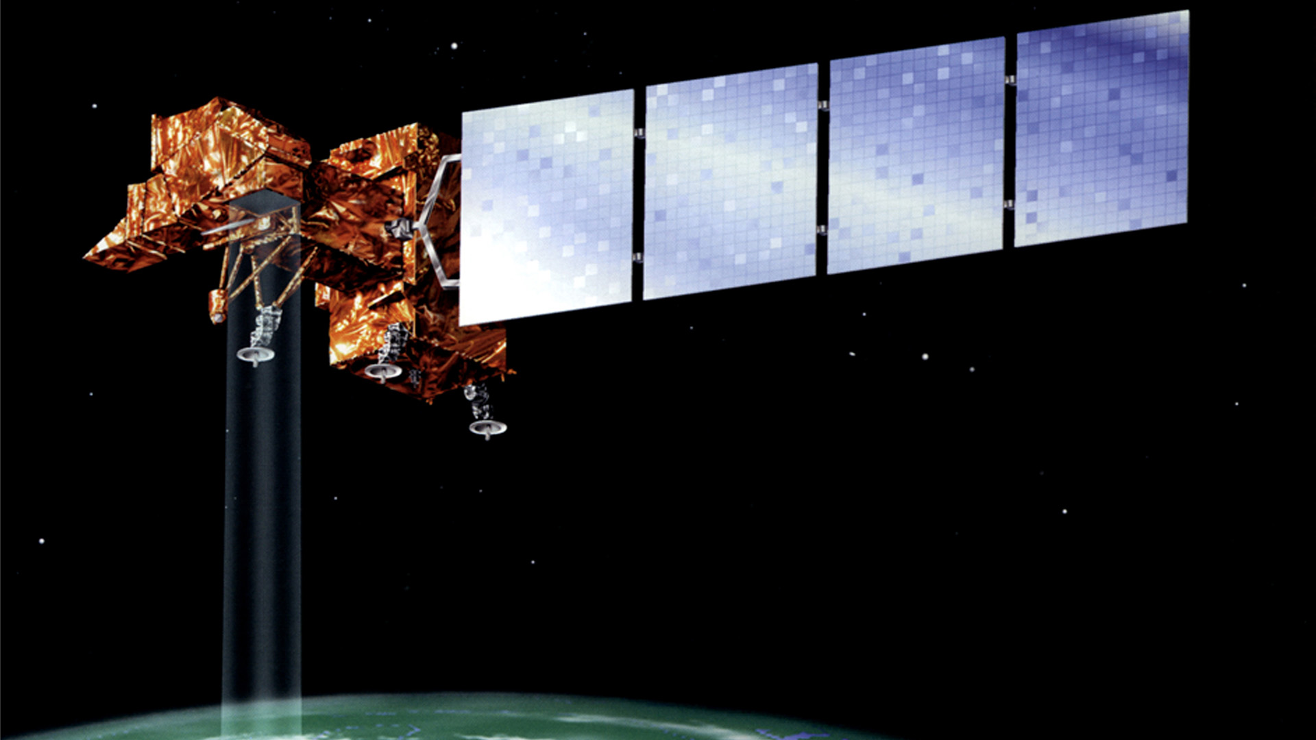
Artist's rendering of Landsat 7 in orbit, collecting data from Earth's surface.

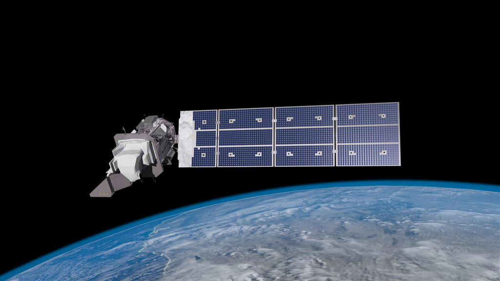
Artist's rendering of Landsat 7 against transparent background.
Credits
Please give credit for this item to:
NASA's Goddard Space Flight Center Conceptual Image Lab
-
Animator
- Chris Meaney (HTSI)
-
Producer
- Jennifer A. Shoemaker (UMBC)
Release date
This page was originally published on Monday, January 4, 2010.
This page was last updated on Wednesday, May 3, 2023 at 1:54 PM EDT.
Missions
This visualization is related to the following missions:Newer Versions
- ID: 13259
 Produced Video