Remote Sensing Conceptual Animation
Satellite remote sensing is a tool for gathering information, usually about what is at the surface of Earth or planets and their moons, but also about the atmosphere. Remote sensing data are commonly combined with other kinds of data (typically, from field or "on-the-spot" studies [commonly called ground truth]) to act together as a system (for example, Geographic Information Systems, or GIS.
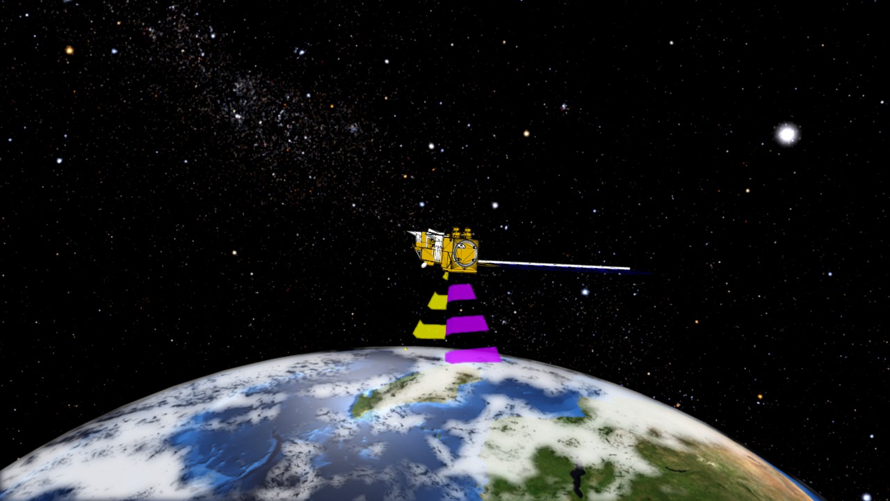
This conceptual animation illustrates the basic idea of satellite remote sensing. Satellite measurements are taken from a number of orbiting spacecraft and data is relayed back to to the ground.
Credits
Please give credit for this item to:
NASA/Goddard Space Flight Center
-
Animators
- Megan Willy (IRC/UMBC)
- Ivy Flores (IRC/UMBC)
-
Producers
- Michelle Williams (UMBC)
- Jennifer A. Shoemaker (UMBC)
- Jefferson Beck (UMBC)
Release date
This page was originally published on Wednesday, November 4, 2009.
This page was last updated on Wednesday, May 3, 2023 at 1:54 PM EDT.
Series
This visualization can be found in the following series:Related
- ID: 11266
 Produced Video